Relatively rare, new cloud covered Michiana skies Monday
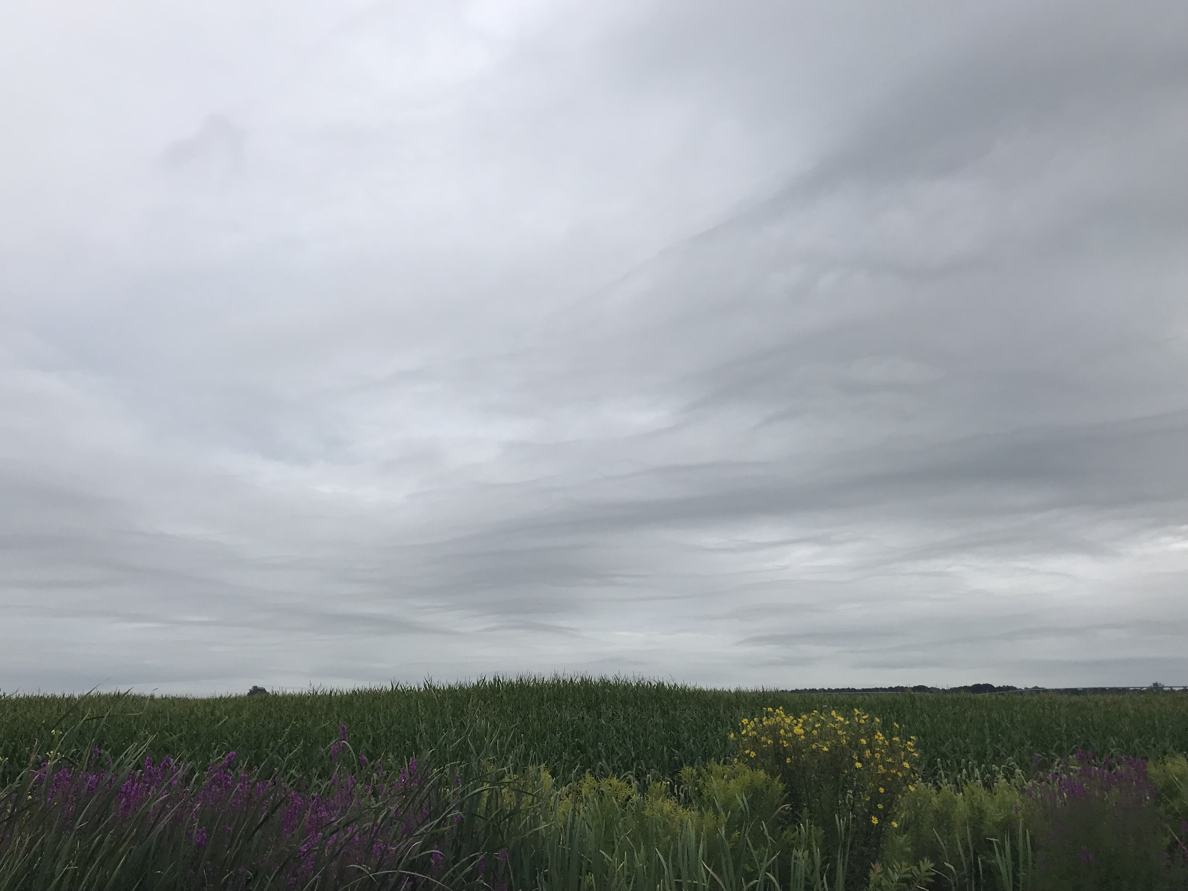
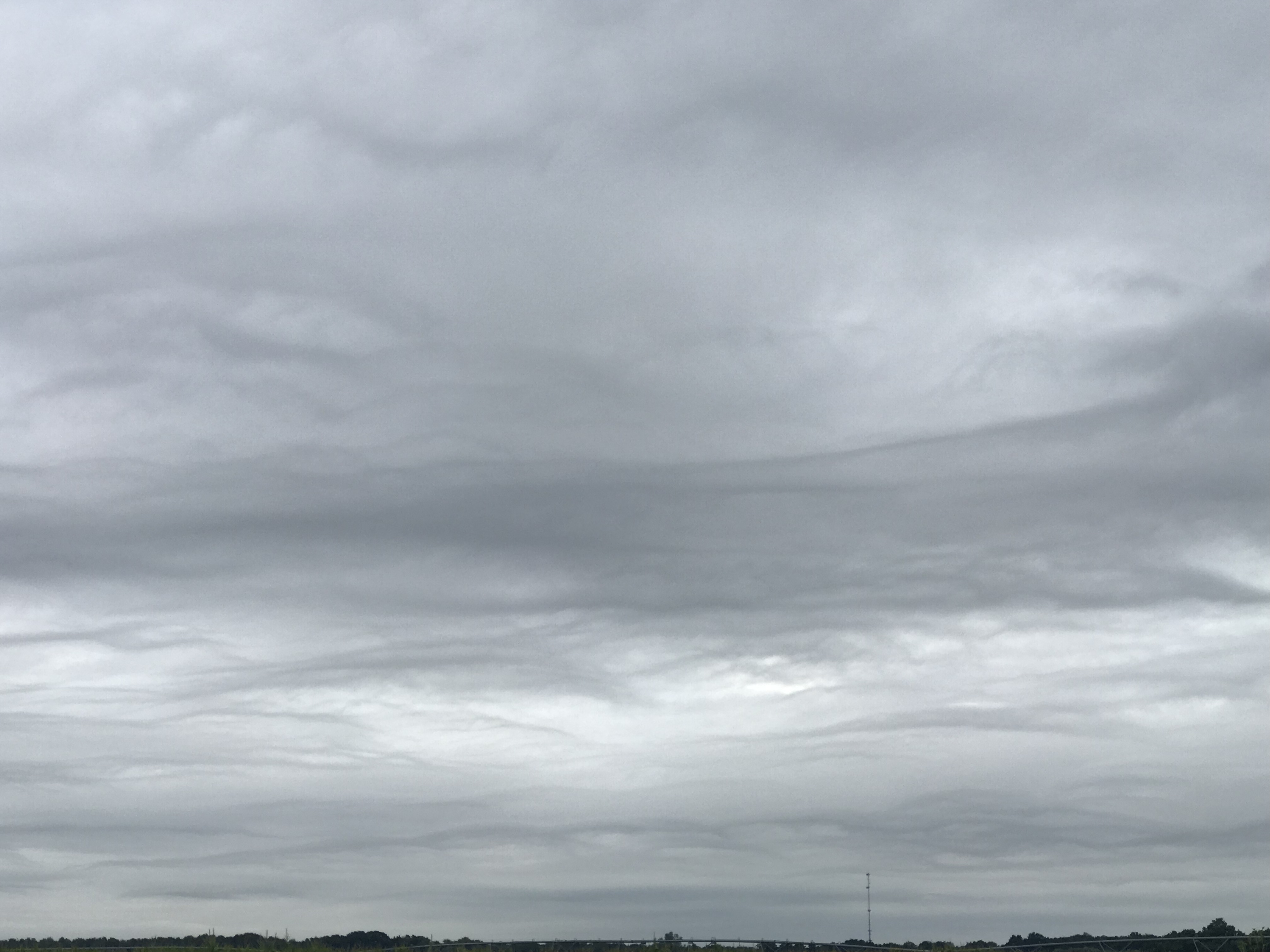
Did you notice some odd-looking clouds across the area Monday morning? What you likely saw were "undulatus asperatus" clouds. Or, as they are often called, asperitas.
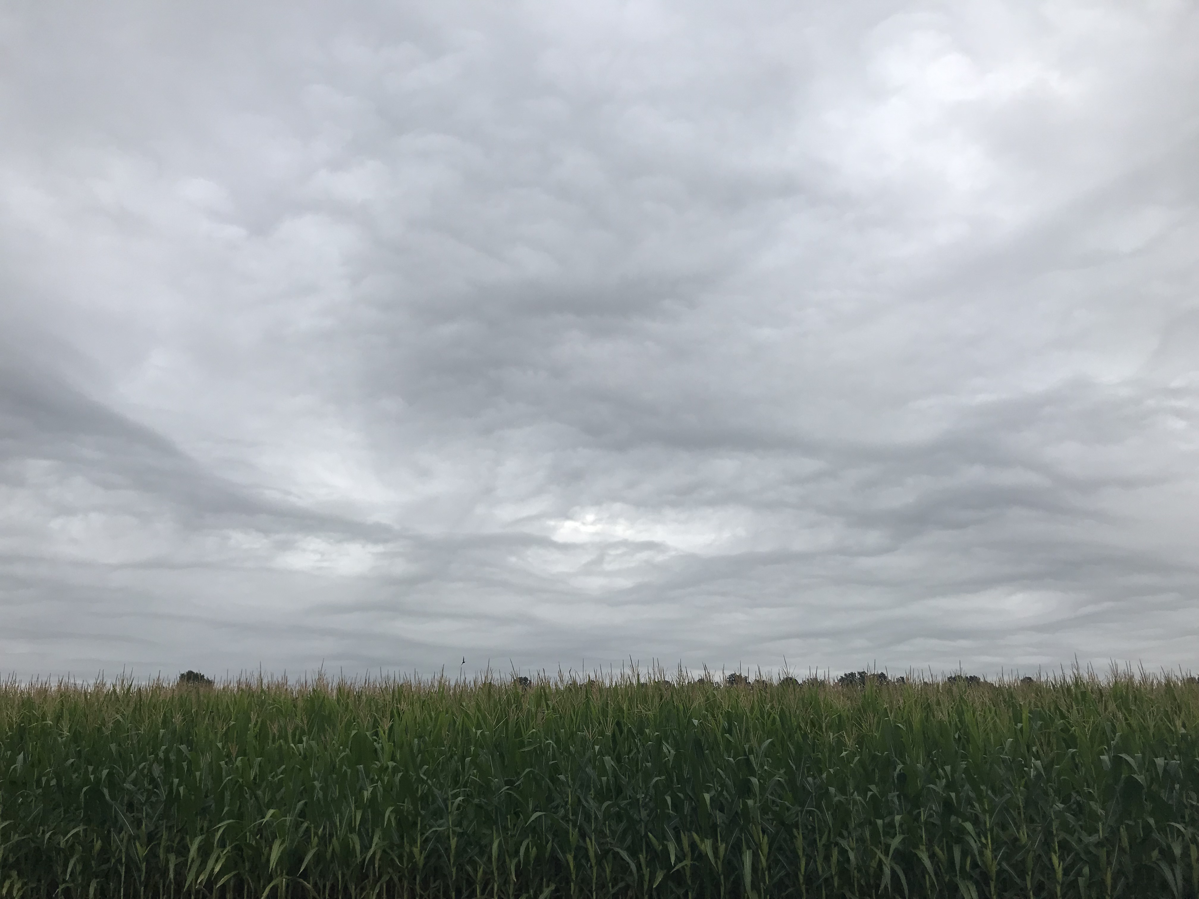 Sky over Granger around 10 a.m. Monday.
The official definition, though, is:
"Asperitas is characterized by localized waves in the cloud base, either smooth or dappled with smaller features, sometimes descending into sharp points, as if viewing a roughened sea surface from below."
The thing that makes it tough to forecast them is they don't always develop. Conditions in the atmosphere have to be just right.
You could have a day with rain expected in the afternoon, and a cold front just to the west with no asperitas clouds. Two days later, you could have a phenomenal display of asperitas clouds with the same exact scenario.
It all boils down to how turbulent the atmosphere is, and whether or not things are just right in the lower levels of the atmosphere.
