Scattered storm chances continue; slight cooling trend in place


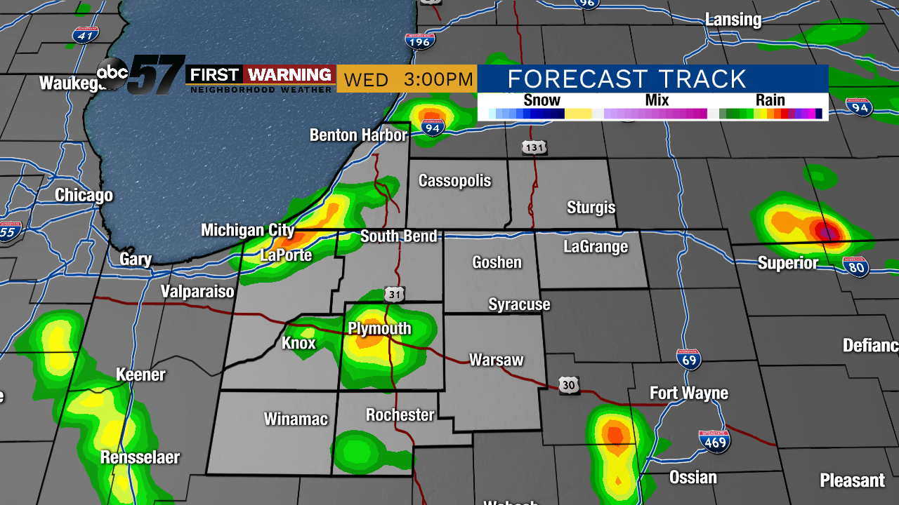
Wednesday will feel like another summer day. Temperatures are slightly cooler today--afternoon highs will be in the low 80s. The morning starts dry with partly to mostly cloudy skies.

As temperatures warm this afternoon, isolated showers and thunderstorms are possible.
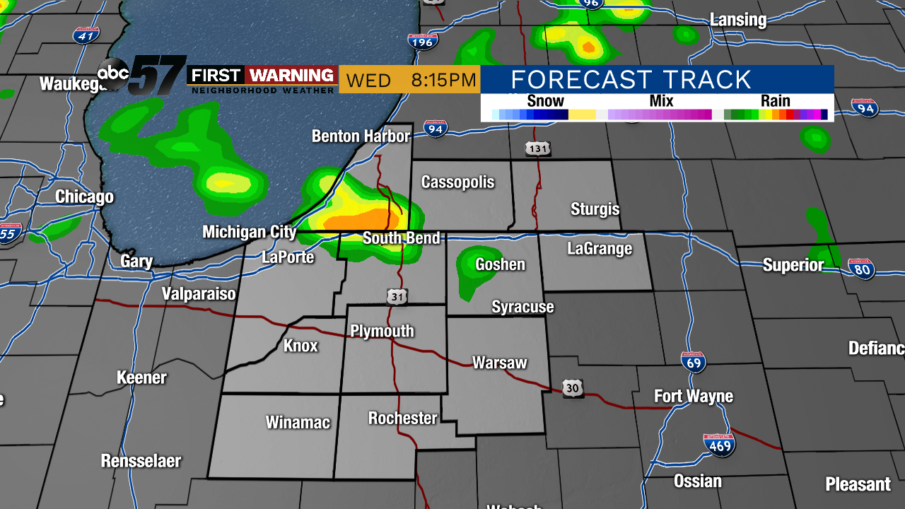
Wednesday night is mostly cloudy with chances for a few stray showers or storms.
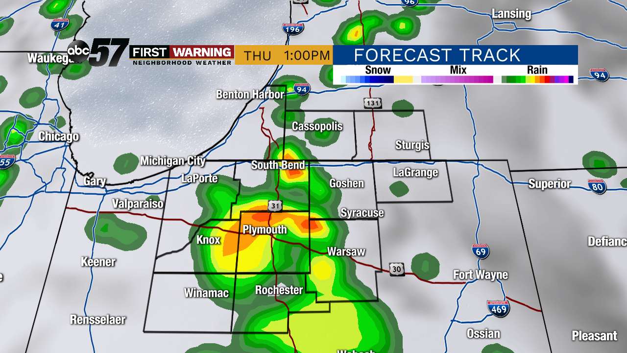
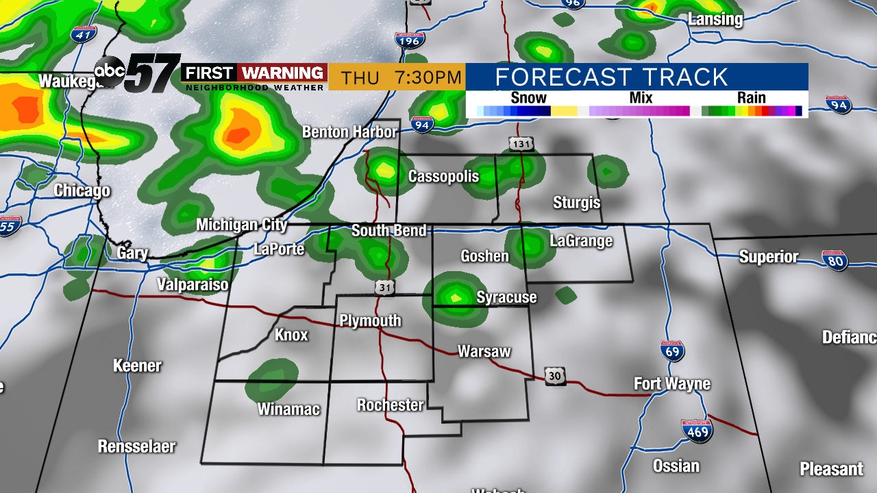
More numerous thunderstorms are expected on Thursday. Widespread rain is more likely also on Thursday. Temperatures will stay near 80. Showers continue Thursday night into Friday morning.
By Friday afternoon, it will be dry with partly sunny skies. Temperatures on Friday are cooler, near 70. This cooler, less humid air will stick around through the weekend, with highs in the upper 60s both Saturday and Sunday. Expect a pleasant weekend with lots of sunshine.
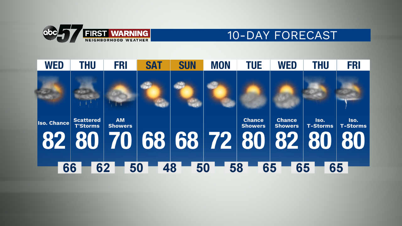
Today: Partly to mostly cloudy. Isolated thunderstorms. High 82.
Tonight: Mostly cloudy. Isolated thunderstorms. Low 66.
Thursday: Scattered thunderstorms and showers. High 80.
Friday: Morning showers. Partly sunny later. High 70.