


A few scattered showers and storms will move through Michiana this evening. A few storms have the chance to be on the strong to low end severe side. The biggest thing we will watch for is gusty winds. Most storm activity should stay sub-severe. Things will clear out later this evening, but a few stray showers can’t be ruled out tomorrow morning. After the cold front passes tonight, most of the heat and humidity will push further to the south. This will leave us with more comfortable conditions during the work week. Highs tomorrow afternoon will be in the low to mid 80s. Highs will keep dropping into the lower 80s for the rest of the week. Low rain chances return next Friday. Labor day looks cool and comfortable with temperatures topping out in the upper 70s. Low rain chances remain in the forecast for Labor Day as well.
Tonight: Scattered showers/storms. Low 68.
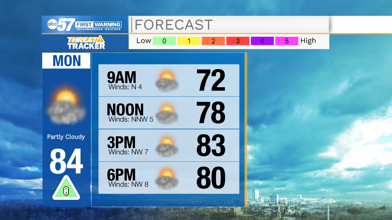
Tomorrow: Partly cloudy. High 84.
Tuesday: Mostly sunny. High 82.
Wednesday: Sunny. High 80.