


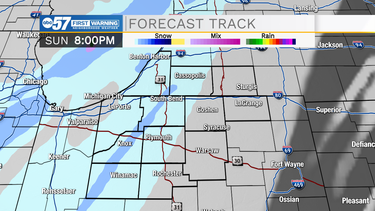
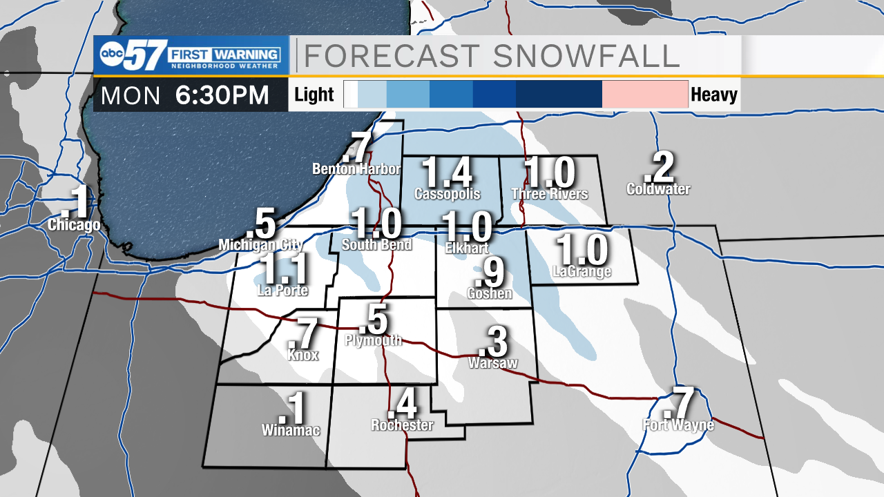
This morning temperatures are dropping close to the single digits with feel like temperatures a few degrees cooler. After sunrise we will warm things up quick due to lots of sunshine in the forecast. Sunshine will stick around throughout most of the afternoon, but then cloud cover and snow showers move back into Michiana. Snow showers will remain on the light to moderate side, with overall very low impacts. Snow will linger into Monday afternoon and evening, where we could see mostly a dusting of snow throughout the area. A few isolated areas in LaPorte, Berrien, and St. Joseph county could get totals around an inch. Temperatures this week will stay in the 30s throughout Wednesday, but then another cool down arrives for later in the week. Snow chances also return later Wednesday and linger into your Thursday. This should be another very low impact round.
Today: Mostly sunny/PM snow. High 30.
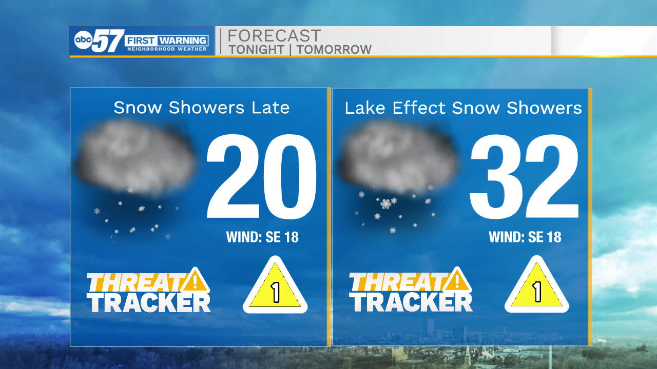
Tonight: Snow showers. Low 20.
Tomorrow: Isolated snow showers. High 32.
Tuesday: Mostly cloudy. High 38.