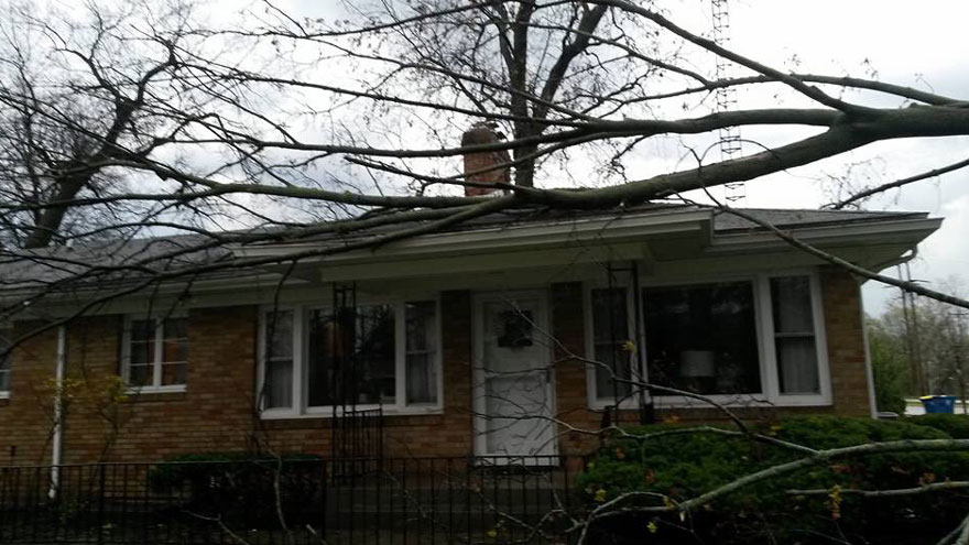


The National Weather Service has received damage reports from throughout Michiana due to Wednesday night's storms. Most of the damage consists of downed trees and utility poles.
The South Bend airport recorded a 71 mph wind gust, which is as strong as an EF0 tornado and is just shy of a Category 1 hurricane.
Hail reports:
- 0.75" Hail - Wooster, Kosciusko Co.
- 0.50" Hail - Bridgman, Berrien Co.
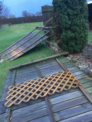
Damage
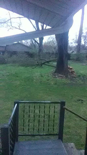
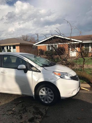
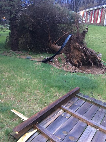
- Tree uprooted and large branches snapped - South Bend
- Power lines down in city - Mishawaka
- Trees down - San Pierre
- Limbs and tree down - Simonton, Elkhart Co.
- Power poles down - Mottville, St. Joseph CO MI
- Several trees and branches down - Osceola
- Several power poles down near Martins - Osceola
- Power poles down - Constantine, MI
- Structure Fire due to lightning strike - Sturgis, MI
- Roof damage on garage - Cass, MI
- Trees down - Church st at Daugherty st, Coldwater
- Numerous trees limbs - Walton Rd., Bristol
Rivers
- St. Joseph Co. expected to get into Minor Flood Stage along the St. Joseph River.
- Already a Flood Warning for part of the river that goes through Three Rivers.
