Storms this evening bring some relief from the heat

-
2:10

Notre Dame men’s basketball embracing urgency as Shrewsberry...
-
2:37

Local Beef-A-Roo employees still owed paychecks as private equity...
-
1:42

More storms through 8:00 p.m.
-
1:06

2nd annual Inclusive Art Fair
-
2:20

Tracking severe weather through the mid-afternoon
-
3:17

Applications open for Fall Citizens Police Academy in South Bend
-
2:23

Elkhart County 4H Fair food vendors celebrate 50th year of business
-
2:16

Young football athletes learn about protecting their bodies,...
-
1:24

Storm track timing could be shifting
-
0:57

Unity Gardens brings music, food, and crafts for Westside BBQ...
-
1:50

Quiet evening, Storms after Midnight
-
0:57

Deer Creek Hunt Club throws a skeet shoot event for Deputy Jon...

ABC57 First Warning Neighborhood Weather
Thursday, July 9th, 2020
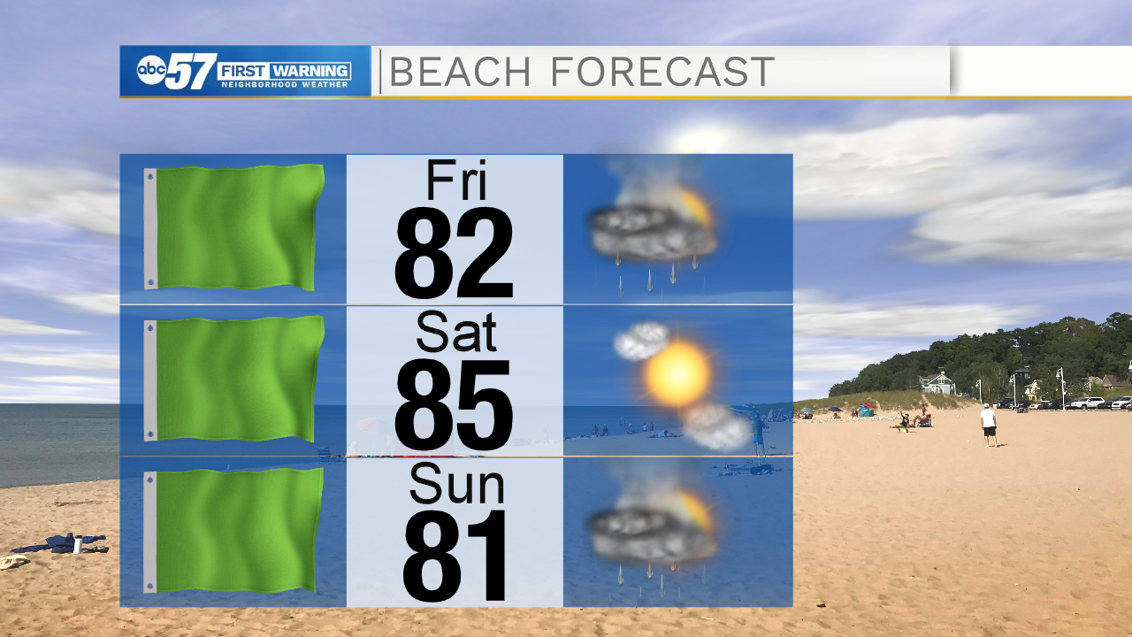
One last hot and humid day. Heat indices could reach the upper 90s! Isolated showers and storms are possible again after midday but the main line of storms arrives late this evening. These storms could be strong with gusty wind and heavy rain. Scattered showers and storms continue into Friday, finally knocking down the heat and humidity some. Saturday is nice and bright but another round of rain is expected Sunday. Next week starts to warm right back up with 90s possible by next Wednesday.
Today: Partly sunny, hot and humid. PM isolated showers/storms. High 94.
Tonight: Scattered thunderstorms. Low 73.
Friday: Scattered thunderstorms likely. High 85.
Saturday: Mostly sunny. High 85.