Summer-like heat sticks around heading into the weekend


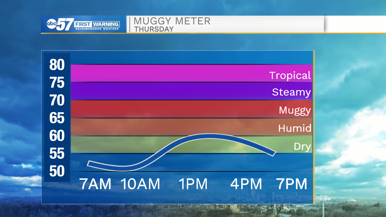
A few clouds are lingering this morning, but clear conditions are expected by this afternoon. High temperatures today will top out around 80 degrees. Tomorrow afternoon will be even warmer with highs in the lower 80s under sunny skies. Saturday afternoon looks to be the warmest day we will see here in Michiana for a while. High temperatures will range from the low to mid 80s.
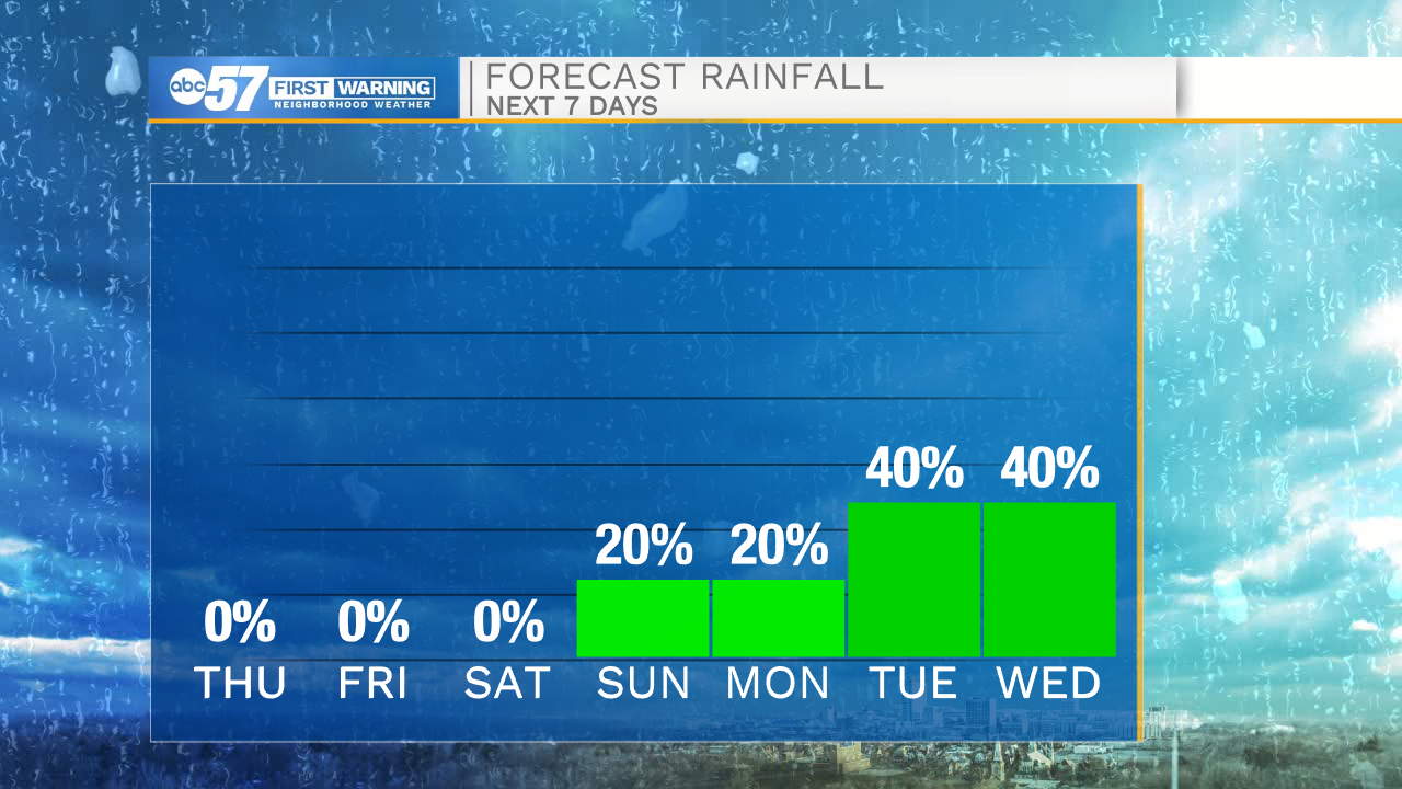
A cold front arrives Saturday night into Sunday morning. This front could develop a few isolated showers here in Michiana. Rain chances will remain in the forecast heading into next week. High temperatures next Monday will only top out in the upper 60s. Better rain chances arrive next Tuesday as another cold front looks to move into Michiana. That second front will drop high temperatures into the 50s by the middle part of next week.
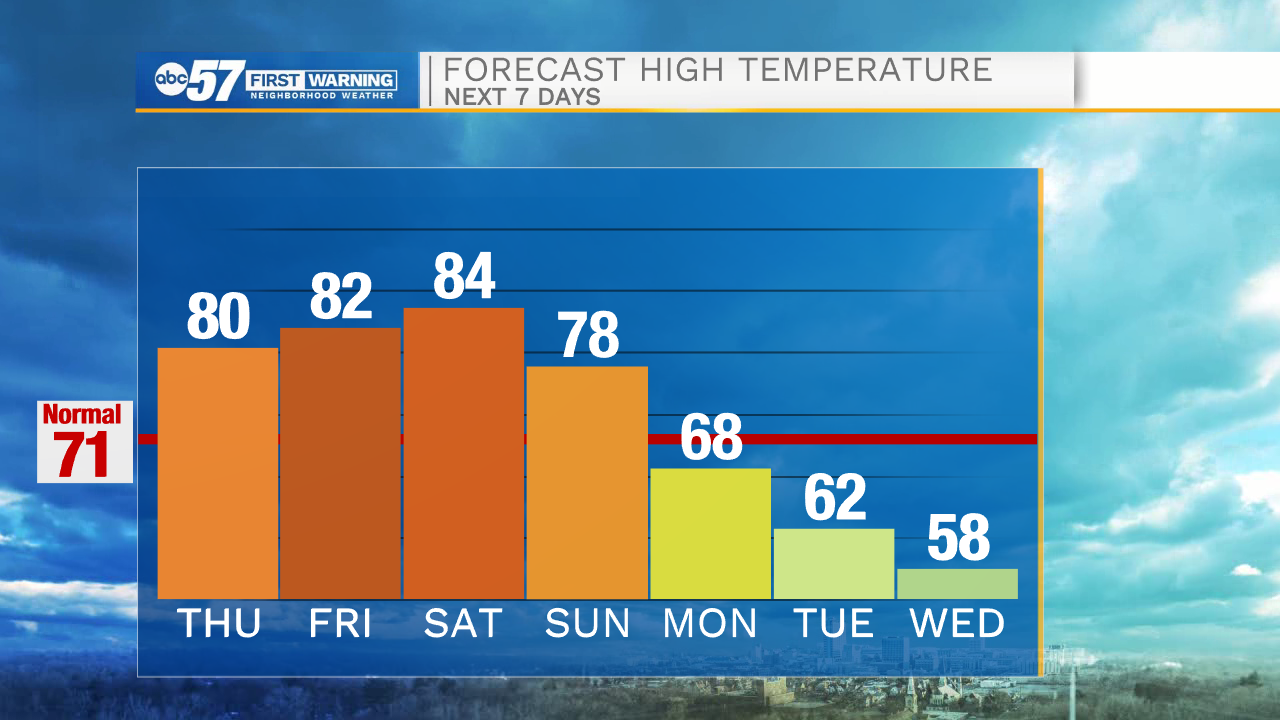
Today: Sunny. High 80.
Tonight: Mostly clear. Low 56.
Tomorrow: Sunny. High 82.
Saturday: Mostly sunny. High 84.