Tuesday, January 7th, 2020
A mix of sun and clouds today but as a cold front moves through early afternoon, our daytime high will only make it into the upper 30s. Due to the cold front, a couple of isolated snow showers are possible this afternoon and again late evening but they will be light. As cold air rushes in over Lake Michigan, flurries will be seen in Michigan tomorrow morning. Everyone will be colder though, just topping out in the upper 20s.
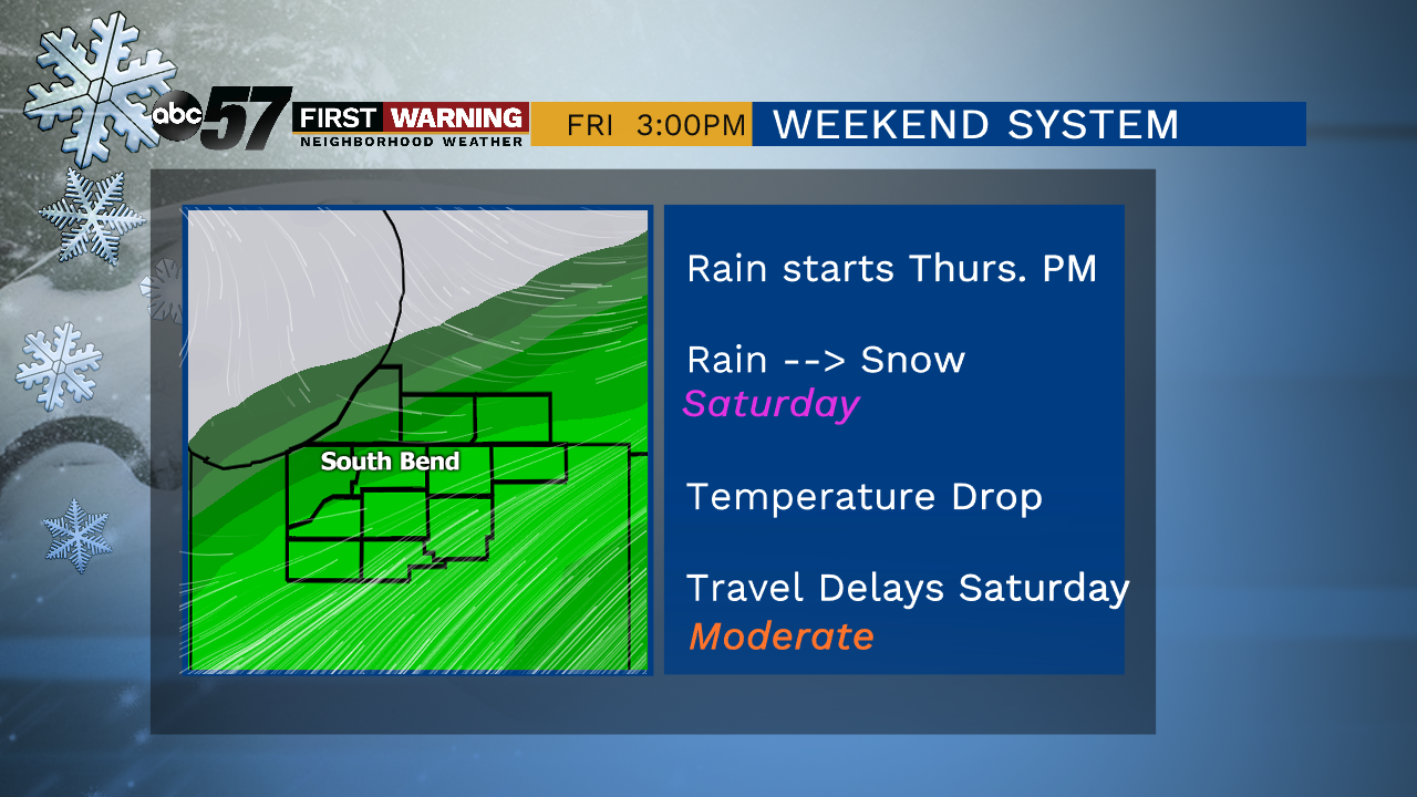
Temperatures rise into the 40s for Thursday and Friday, along with rain showers moving into the region. For Friday, we are going to be right on the cusp of the cold and warm air. So far, it looks like the warm air keeps it rain for Friday, then turning into a wintry mix overnight. That then transitions into snow Saturday but how much snow we see will be dependent on how quickly the cold air moves into our area.
Today: Mix of sun and clouds, slight chance of snow/mix. High of 38.
Tonight: Mostly cloudy, flurries possible. Low of 23.
Wednesday: Partly to mostly cloudy. High of 28.
Thursday: Mostly cloudy, PM rain. High of 46.