Winter Hazards Simplification
With the cool temperatures, sleet and snow flurries that we have seen lately, we are starting to think more and more about winter weather and the months to come. Part of winter weather are advisories, watches and warnings. Regarding those, the National Weather Service has changed some things around to make things simpler.
What this means for us is the winter weather alerts that we have grown accustomed to will be cut in half. Beginning this winter there will only be five winter weather alerts.
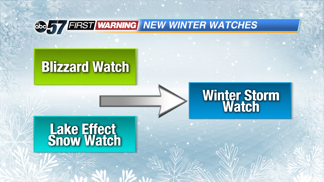
There will no longer be Lake Effect Snow Watches or Blizzard Watches. Instead, the NWS will simply issue a Winter Storm Watch that will be a blue shade. This alert means there is the potential for a significant winter weather event.
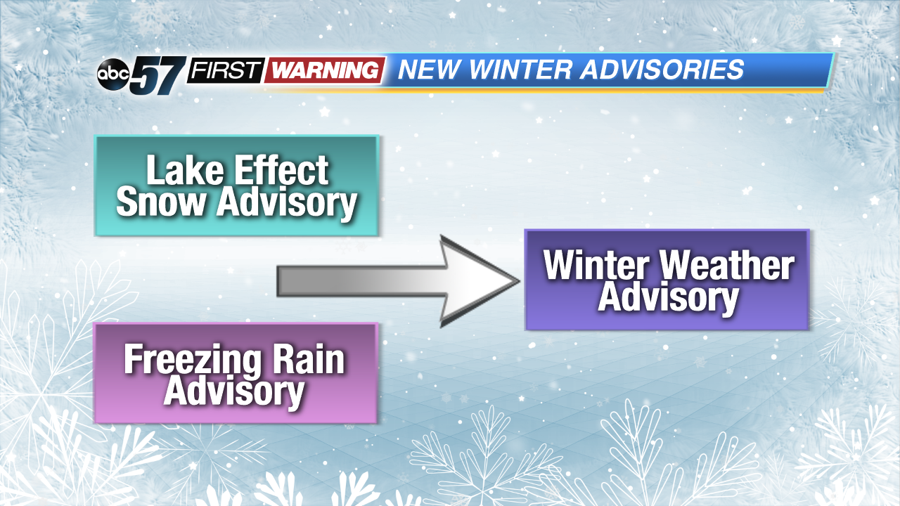
Lake Effect Snow Advisories and Freezing Rain Advisories are no longer going to be issued. The NWS will now simply issue a Winter Weather Advisory, meaning snow, blowing snow, ice, or sleet is expected, but conditions will not be hazardous enough to meet the warning criteria.
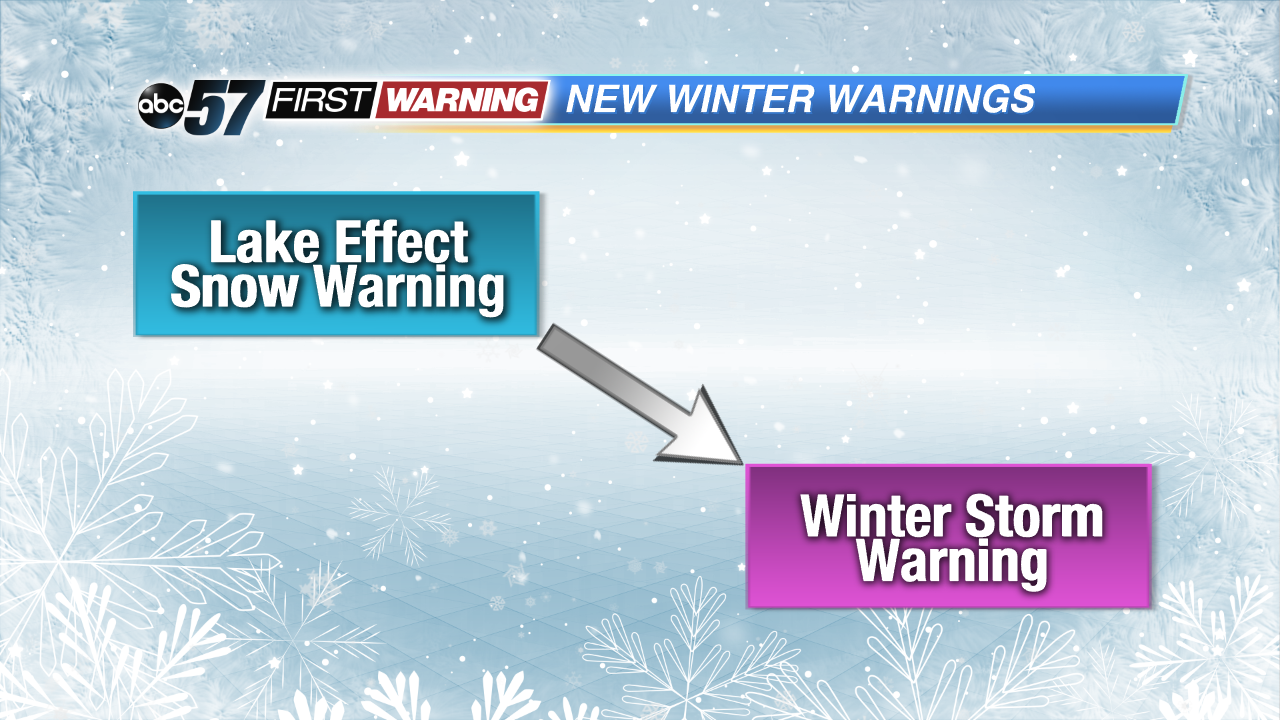
The last change is there will no longer be a Lake Effect Snow Warning. A Winter Storm Warning will be used instead.
Of course, it will be up to the meteorologists here at ABC 57 to let you know the impacts expected with any wintry event that could affect the Michiana region.


