


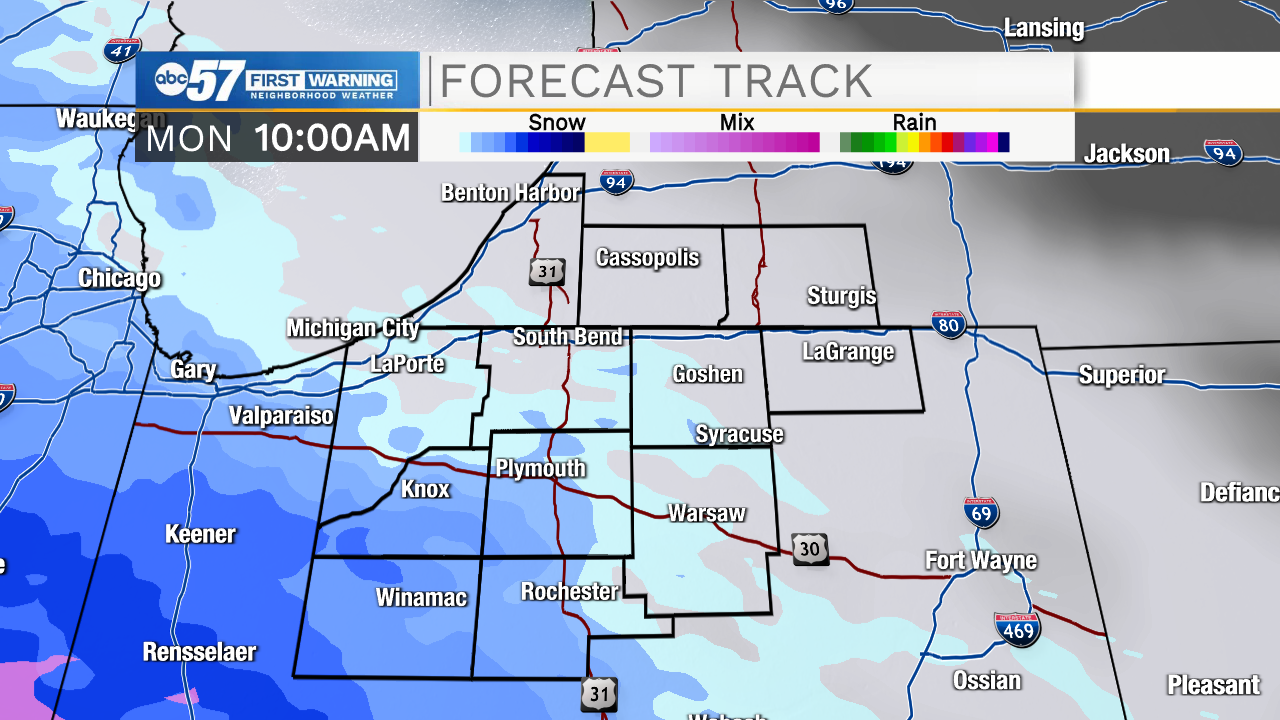
Cloud cover will increase through the overnight helping to keep temperatures in the upper 20s tomorrow morning. A few snow showers are possible tomorrow by late morning, we will see snow turn to a wintry mix, and then all rain by the afternoon. Wide spread showers will stick around into the evening, and then another chance for more mixed wintry precip will return. Precipitation chances will diminish into Tuesday morning. A dusting of snow and a few isolated slick spots are possible on bridges and overpasses. Ground temperatures still remain too warm to support any notable wintry precip accumulation. We will clear things out Tuesday afternoon with high temperatures warming back into the 50s. Wednesday night and Thursday another system moves into Michiana bringing more rain chances.
Tonight: Mostly cloudy. Low 28.
Tomorrow: Snow/sleet/rain. High 38.
Tuesday: Mostly to partly cloudy. High 50.
Wednesday: Partly cloudy. High 56.