
-
1:35

Warming up before storms arrive Thursday
-
2:06

Staying sunny until Thursday
-
0:58

Goshen City Council amends DORA rules amid community concerns
-
1:20

SB Common Council adopts Downtown 2045 Plan
-
2:39

Friends and family celebrate life of Jamecia Moffitt
-
1:15

St. Joseph County Council updates residents on Affordability...
-
0:51

Locals gather to recognize farmworkers across Northern Indiana
-
2:07

Impact of higher gas prices for delivery drivers
-
3:43

ND Eviction Clinic exposes ’shameful’ living conditions at...
-
3:59

Neighbors share traffic, noise concerns about proposed Capital...
-
1:50

Leaf pick up resumes in South Bend after weather postpones service...
-
1:02

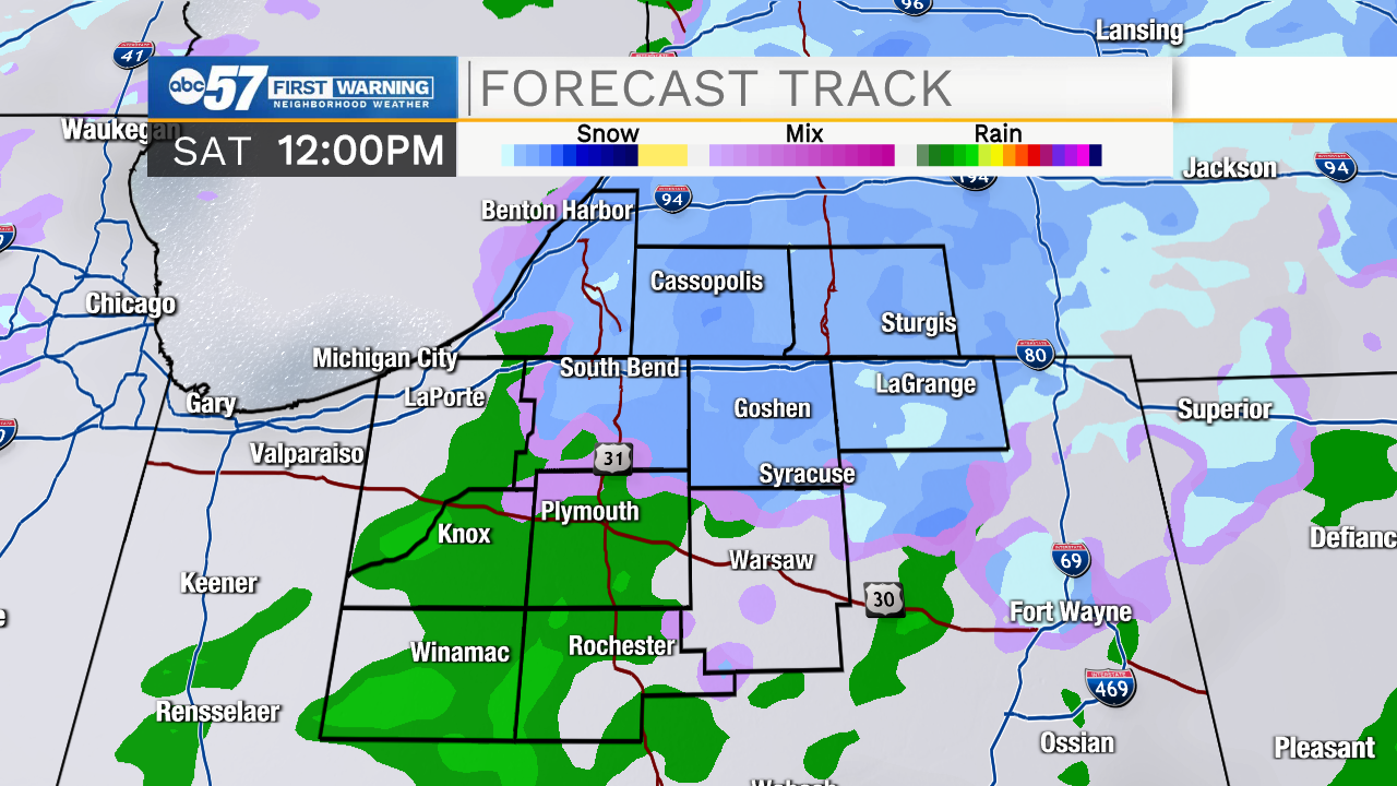
Another rollercoaster ride to end the week

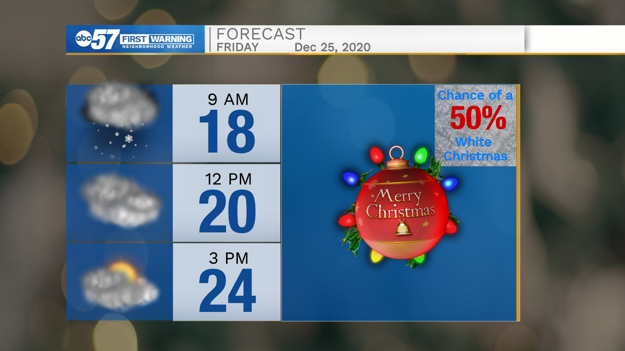
A sloppy start to Saturday, a wet snow-mix will transition to a rain-mix by midday. There could be brief accumulation but the result is mostly the same, a damp morning. The precipitation ends into the afternoon and temperatures warms near 40 by the end of the day. Sunday is quiet before another quick round of wintry weather Monday. The main focus will be on Christmas and what looks to be the coldest air of the season, increasing the likelihood of a White Christmas, due to lake effect snow showers.
Tonight: Mostly cloudy. Low 32.
Saturday: Rain/snow showers. High 40.
Sunday: Partly cloudy. High 38.
Monday: Rain/snow showers. High 38.
Sign up for the ABC 57 Newsletter