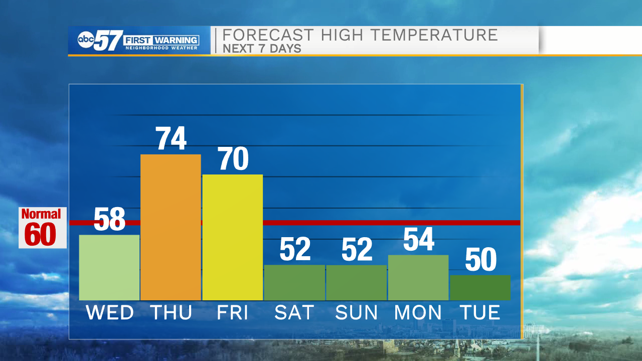
Another 70 degree day Thursday; cold front Friday brings cool temperatures


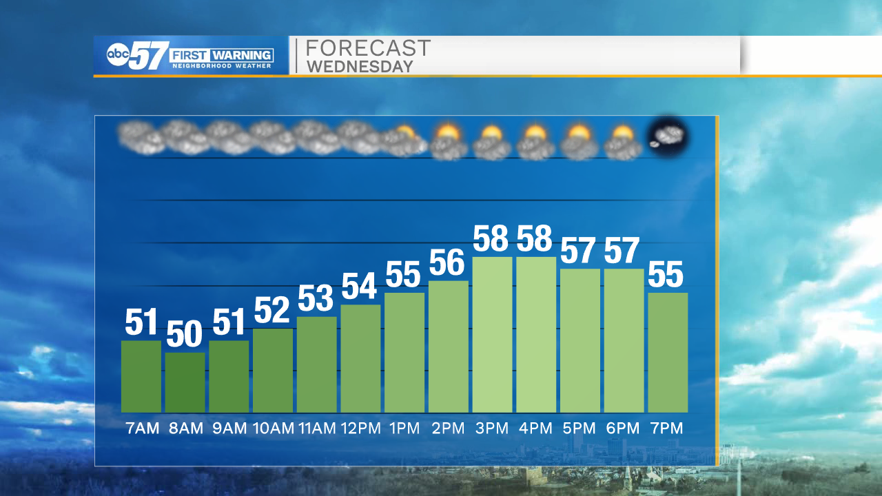
After some early morning showers, the rest of Wednesday will stay dry. Some clouds slowly clear later this afternoon, and we'll see some sunshine before the day is done. Temperatures won’t warm up much, reaching a high around 58.
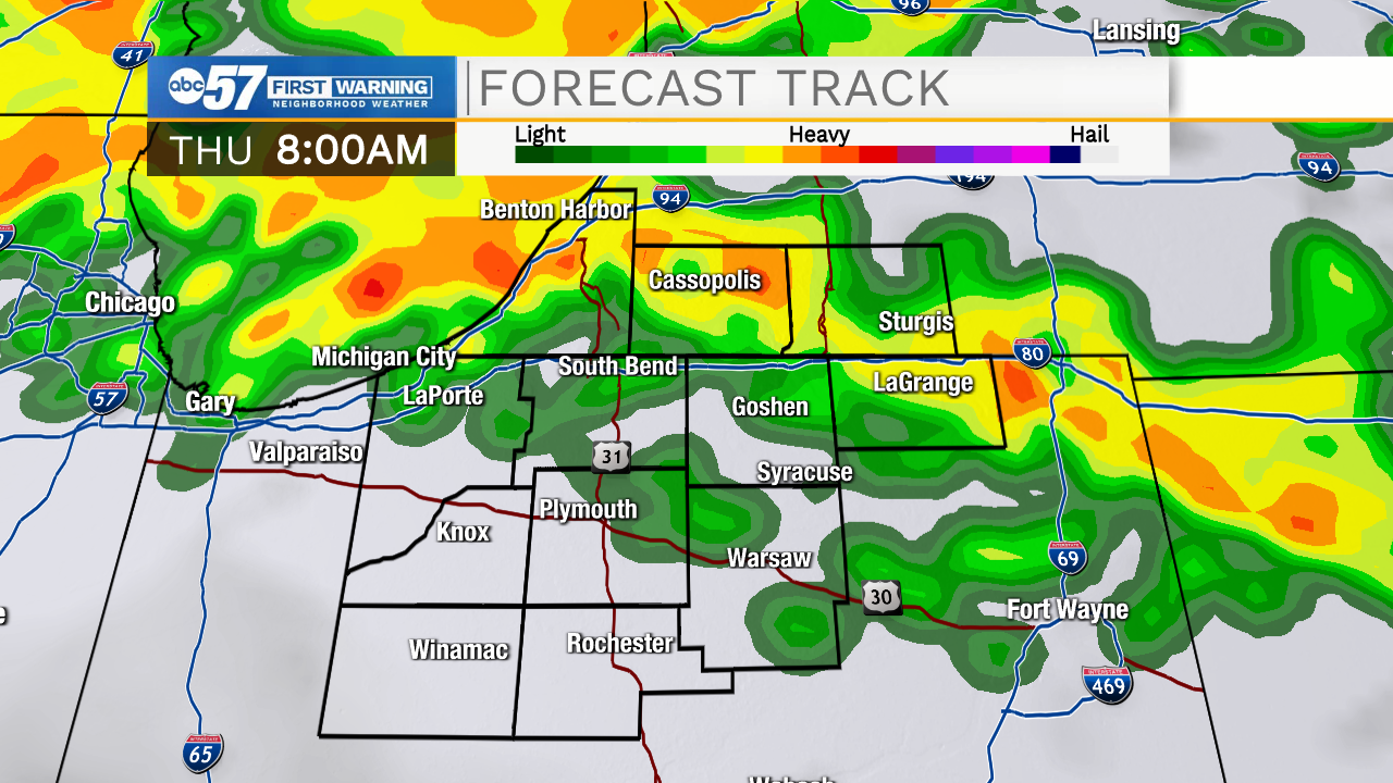
There's another round of showers overnight into Thursday morning. Temperatures fall into the upper 40s. Make sure to grab your umbrella Thursday morning before you leave for school or work. There could be a few pockets of heavier rain to start the morning. Most showers wrap up before 10 a.m.
Don't let the morning rain ruin your day- Thursday afternoon is dry and warm with a high around 74. Get outdoors and enjoy the warmth—it only lasts one day. A cold front Friday afternoon will drop temperatures and bring: rain, thunderstorms, and gusty winds.
Saturday is dry but cool with a high around 52. Sunday’s high is also in the low 50s, but it will be a rainy end to the weekend.
Today: Mostly to partly cloudy. High 58.
Tonight: Scattered showers late. Mostly cloudy. Low 49.
Thursday: AM showers. Partly cloudy, breezy, warm. High 74.
Friday: Temperatures fall from 70 midday. PM thunderstorms, rain, and gusty winds.