
-
1:19

There are two big temperatures drops next week
-
1:48

Longer days for the first day of Spring
-
1:30

Country music star Jake Owen to play at Blue Gate Performing...
-
1:51

Warm and sunny stretch with a few showers possible this weekend
-
0:30

Prayer vigil held for domestic violence victim in South Bend
-
1:10

Bristol Town Council votes in favor of annexation of 500 acres...
-
0:52

Official ribbon cutting for The Delta neighborhood in Elkhart
-
1:08

Traveling or booking a trip soon? Here’s what to know
-
0:27

Elkhart Police Department investigating a hit and run on Cassopolis...
-
2:40

Recovery efforts continue after EF-1 tornado devastated Edwardsburg
-
1:22

The March rollercoaster continues
-
0:55

Mishawaka High School Theatre presents ’Chicago! Teen’

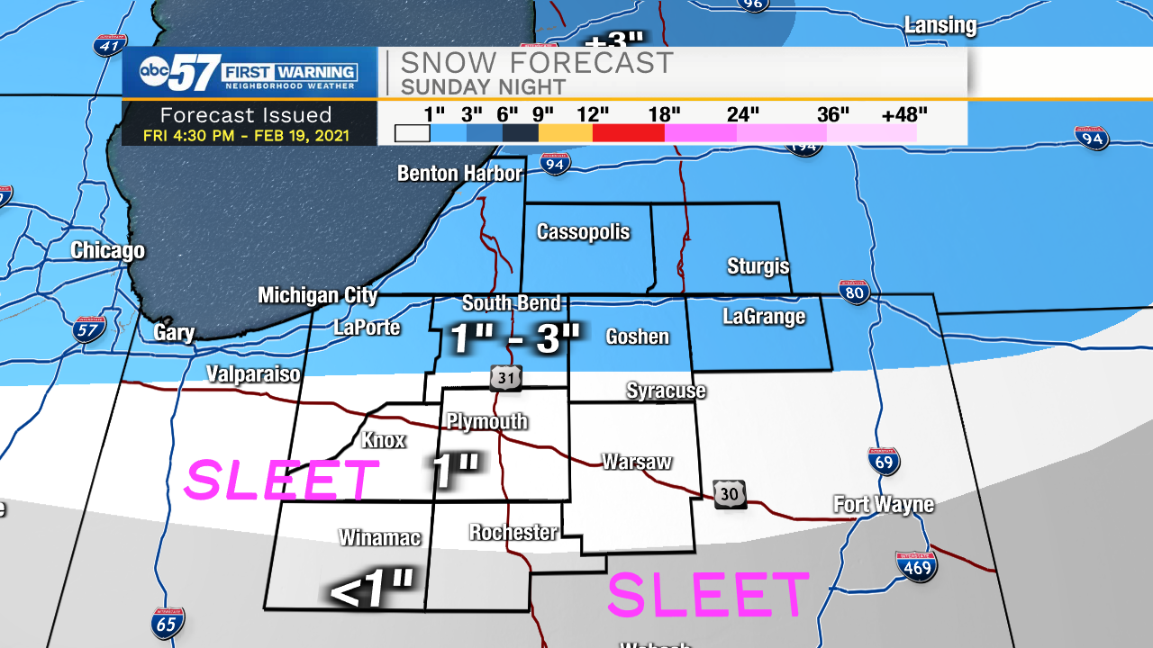
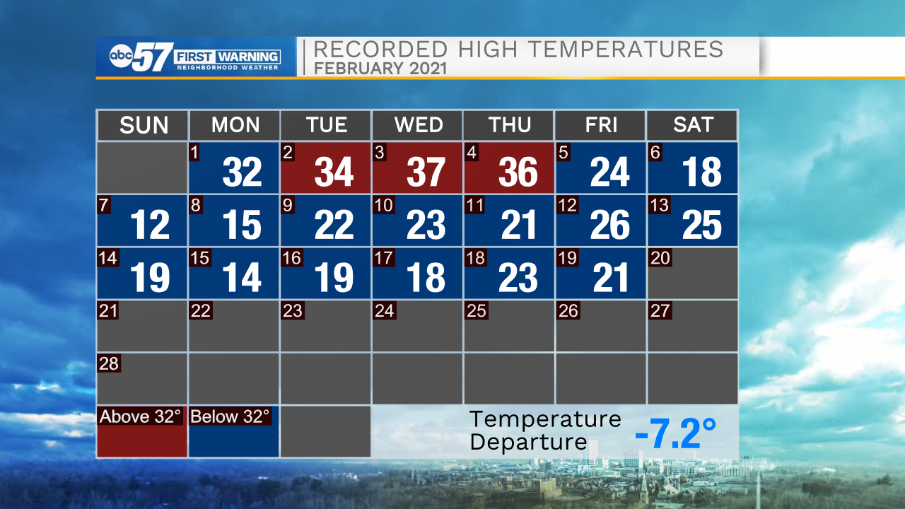
The forecast is cold but fair Saturday and most of Sunday is snow-free, until the evening. Snow starts Sunday evening, likely as a wet snow but some sleet could mix in, especially south of U.S. Highway 30. Slick roads may be an issue early Monday morning. Temperatures just creep above 32 Sunday, that's just the beginning of the melt. Every day next week will have a high above freezing, Tuesday and Wednesday likely to hit 40.
Tonight: Partly cloudy. Low 4.
Saturday: Mostly sunny. High 22.
Sunday: Evening snow showers. High 34.
Monday: Mostly cloudy. High 36.
Sign up for the ABC 57 Newsletter