
-
1:22

The March rollercoaster continues
-
19:10

How public records requests increase government transparency
-
2:56

The partial government shutdown is impacting travel across the...
-
1:33

Cool out the door, Mild by afternoon
-
1:50

Top Ten Snow Year 2025-26
-
1:17

South Bend Cubs unveil fan-focused upgrades ahead of Opening...
-
2:21

Notre Dame Fighting Irish ready for spring football
-
2:06

Fighting Irish using time off to refocus ahead of spring practice
-
2:35

What are the privacy implications of SBPD’s ’Drone as First...
-
1:22

Expert discusses Wednesday’s Fed decision
-
3:19

New legislation could make Michigan the 30th constitutional carry...
-
2:15

SBPD using drones to help improve response time

There is little change in the day-to-day weather through Wednesday, more clouds than sun and highs just above freezing. The clouds break to end the week and temperatures begin to warm. Highs rise into the 40s by Saturday and likely stay there through the middle of next week. The hope for a White Christmas isn't lost yet, there at least the potential for precipitation in the pattern, the question is will we be cold enough?
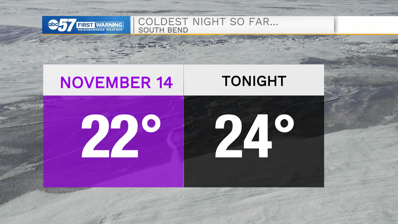
Tonight: Mostly cloudy. Low 24.
Tuesday: Mostly cloudy. High 33.
Wednesday: Mostly cloudy. High 34.
Thursday: Mostly sunny. High 36.
Sign up for the ABC 57 Newsletter