


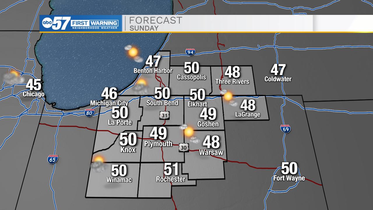
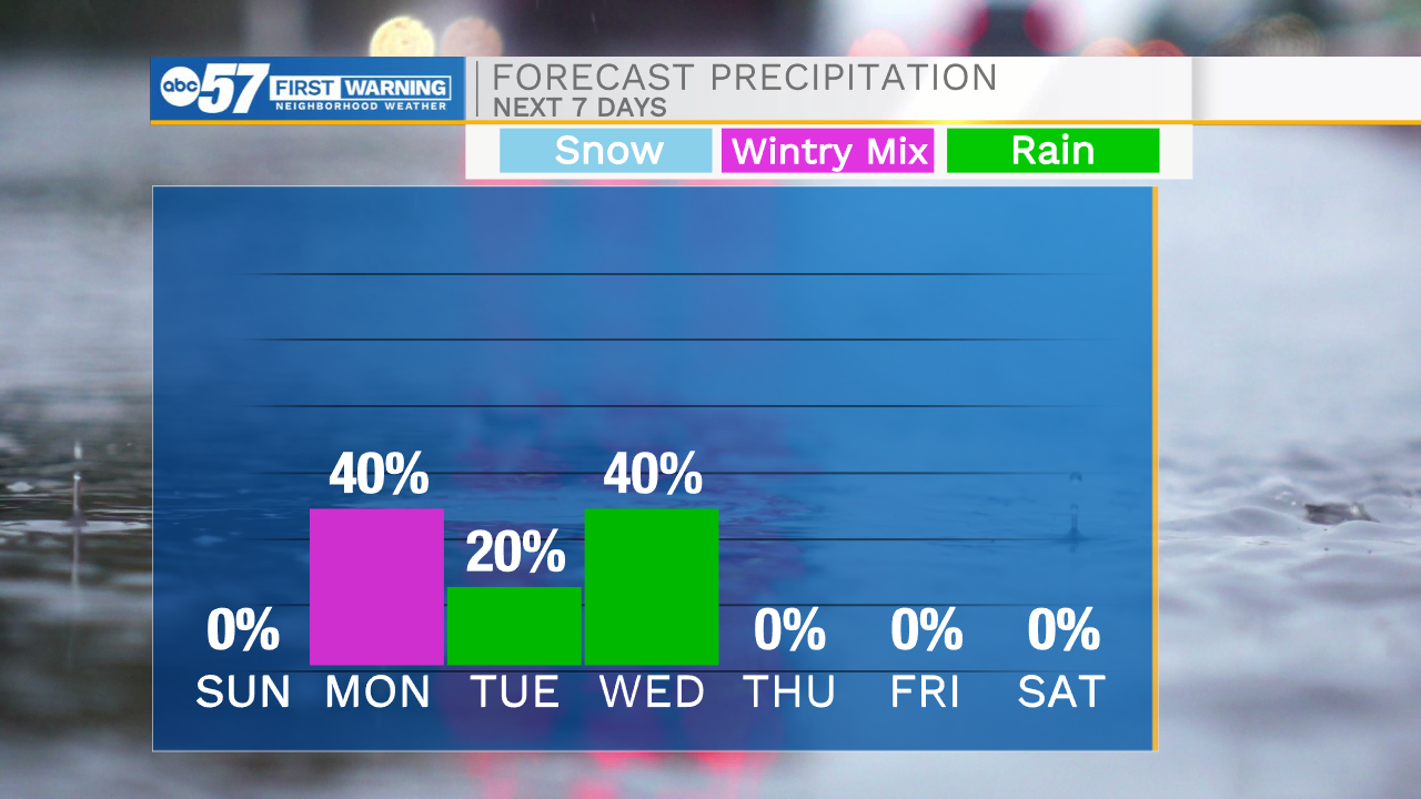
Temperatures tonight will fall into the upper 20s for Easter Sunday morning. If you are up early with the kids to go out and hunt Easter eggs, make sure to be bundled up. High temperatures tomorrow afternoon will top out in the lower 50s under partly cloudy skies. Rain chances return tomorrow night. We will see some of that rain flip over to a wintry mix and snow heading into Monday morning. We could see a light dusting in portions of Michiana, but overall impacts will remain slim to none. Highs Monday afternoon will warm into the mid 40s. Isolated rain chances remain in the forecast for Tuesday, with scattered chances again on Wednesday. High temperatures Thursday and Friday will warm into the mid to upper 60s. Next weekend looks dry for now, but that could change if moisture becomes more progressive northward.
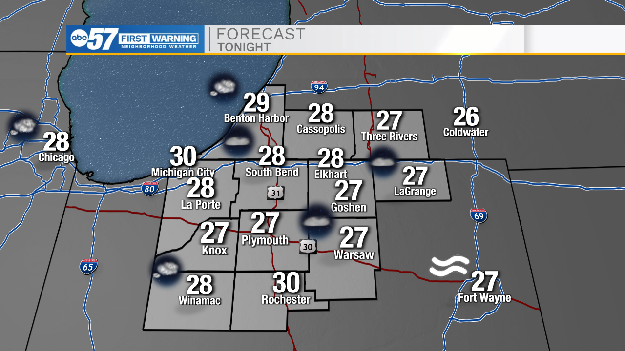
Tonight: Mostly clear. Low 28.
Tomorrow: Partly cloudy. High 50.
Monday: AM Rain/snow. High 46.
Tuesday: Isolated showers. High 46.