Fewer flights affecting forecast accuracy during the pandemic


COVID-19 is affecting really every aspect of our daily lives. This is the case for meteorologists around the globe as well, and it’s due to the decrease in air travel.
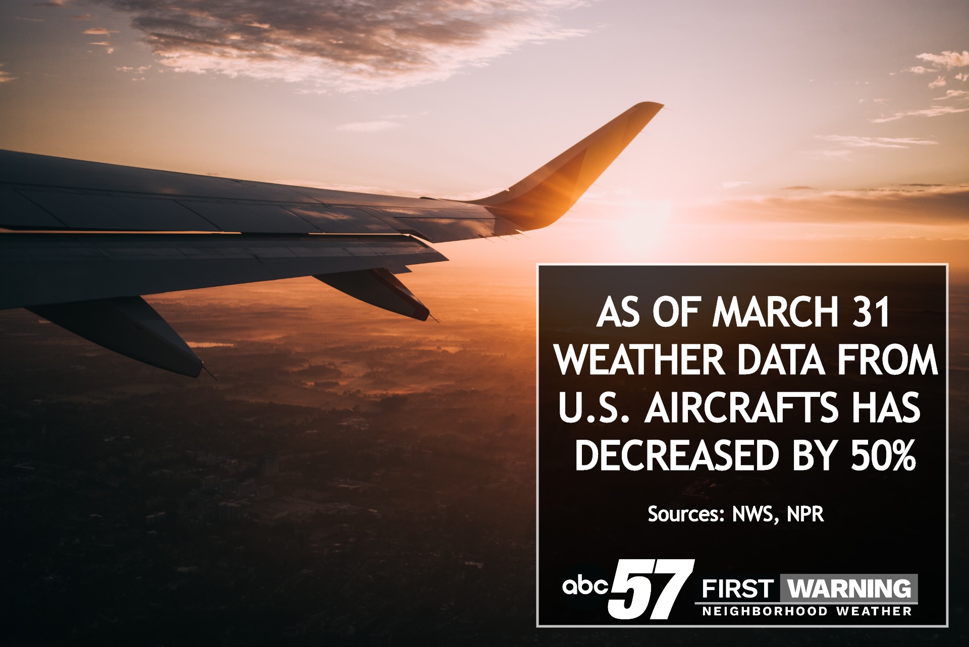
While airplanes get us from place to place, they also capture valuable temperature and wind data while they fly. As of the end of March, meteorological data provided by U.S. aircraft had dropped by half.
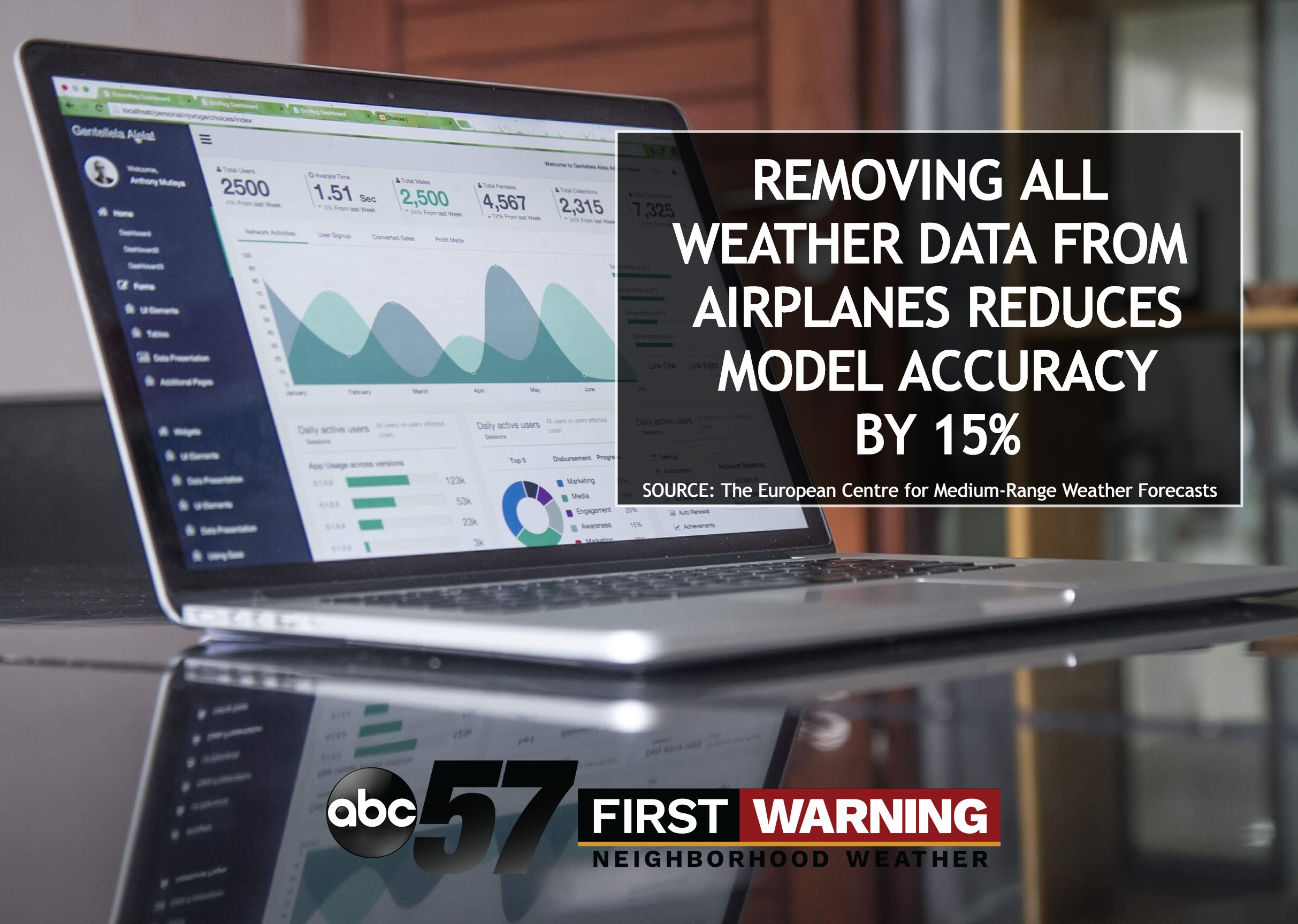
There are still many sources of upper air data, such as weather balloons, satellite scans, and RADAR observations. However, especially for time periods longer than a few days, forecasting is more challenging now before the pandemic began. According to experts, removing weather data usually retrieved by airplanes reduces model accuracy by 15%.
Take Friday’s forecast for example. Forecast models were originally putting out 4 to 6 inches of snow for Michiana. In general, the snowstorm produced around 3 inches of snow accumulation. While no model prediction is perfect, fewer data points coming from the upper levels of the atmosphere could have contributed to the error.
Where this also could come into play is with severe weather, when we look at the temperature and the wind speed and direction to see the energy, lift, and rotation there is in a particular environment.