ABC57 First Warning Neighborhood Weather Forecast
Friday, June 18th, 2021
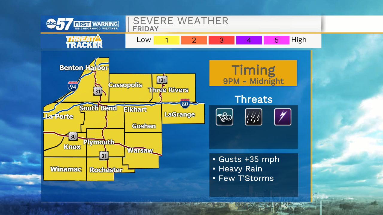
Scattered showers and thunderstorms roll through our area this morning. Pockets of heavy rain are possible but severe weather is NOT expected. Another round of isolated storms develops Friday evening, but they will more so gain strength as they move southeast.
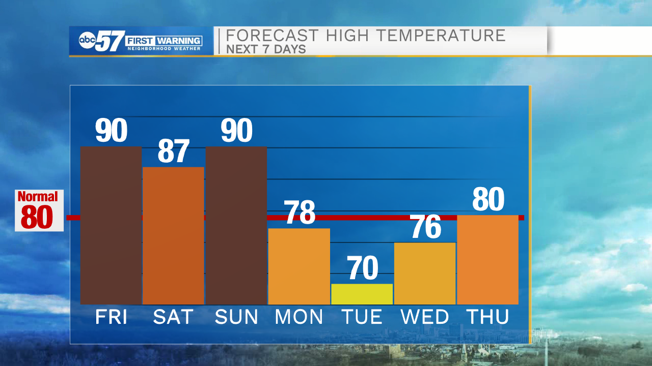
A stray shower or storm is possible on Saturday, otherwise we have a mix of sun and clouds. The heat builds right back in on Sunday with thunderstorms arriving during the evening hours. That will carry over into Monday with temperatures falling into the low 70s behind it for Tuesday.
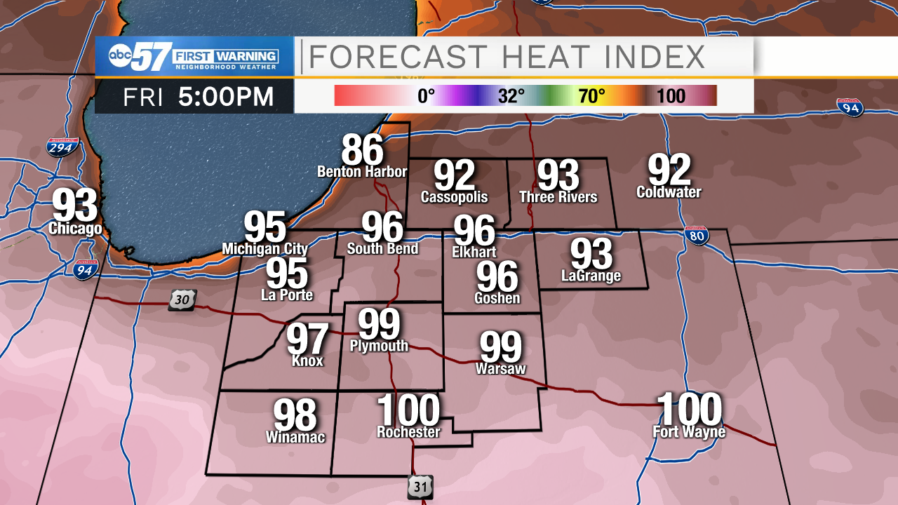
Today: Morning thunderstorms. PM Isolated storms. High 90.
Tonight: Party cloudy, isolated thunderstorms. Low 68.
Saturday: Partly cloudy, stray shower/storm possible. High 87.
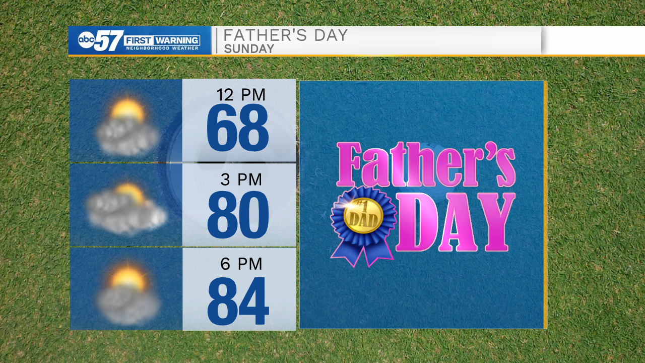
Sunday: Partly cloudy, storms late. High 90.