Quick system Wednesday then messy conditions end of week


Tuesday, January 14th, 2020
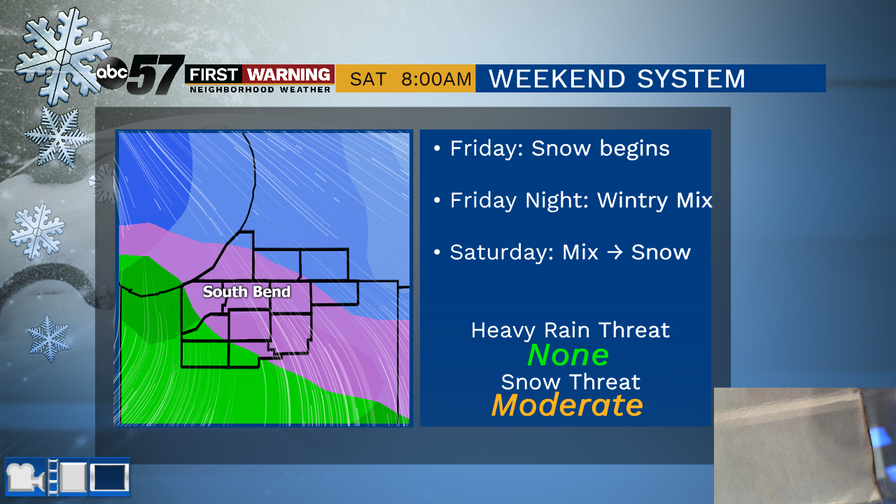
Cloudier skies once again today with a couple of peeks of sunshine possible before sunset. Clouds hang around for Wednesday with a chance of rain/mixed showers during the afternoon. Brief snow is possible Wednesday night before clouds start to clear out for Thursday. Both Thursday and Friday are colder. The next messy system moves in on Friday. It starts out as snow turning to a wintry mix Friday night into Saturday morning. As colder air surges in behind the system Saturday evening, it will turn back to snow. Temperatures plummet for Sunday through Wednesday; only reaching the low 20s for daytime highs.
Today: Mostly cloudy. High of 46.
Tonight: Partial clearing. Low of 28.
Wednesday: Mostly cloudy, chance of wintry mix. High of 42.
Thursday: Partly cloudy, breezy, colder. High of 30.