


Skies cleared overnight, so we’re waking up to another cool morning with temperatures in the 30s and patchy frost on windshields and grass.

Don't write the whole day off though. There is a nice warm up through the afternoon, hitting a high in the low 60s today with a few peeks of sunshine. This will be one of the warmer days this week so enjoy it!
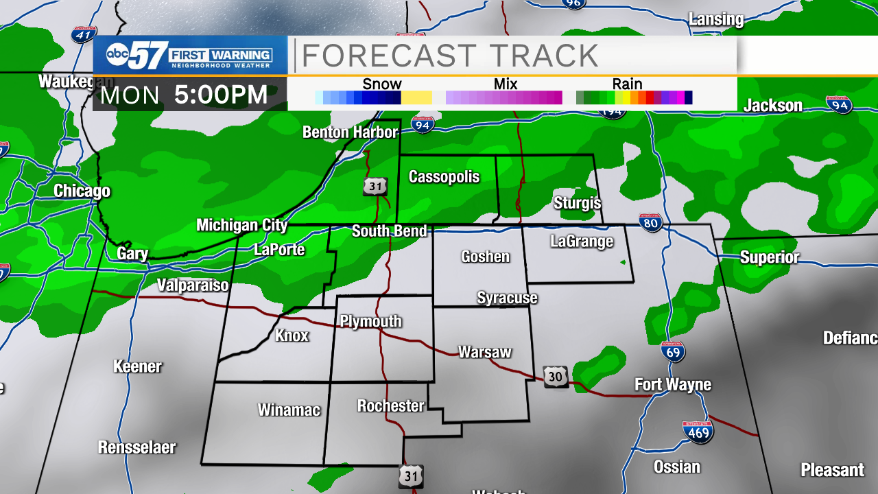
Tonight is quiet, and luckily temperatures shouldn’t fall into the frost category, staying around 40. Monday is a pleasant day – mostly sunny with highs in the mid 60s. Monday afternoon and evening, we’ll see a few rain showers.
Tuesday temperatures tank; highs struggle to make it to 40 degrees. Precipitation likely turns wintry through the day.
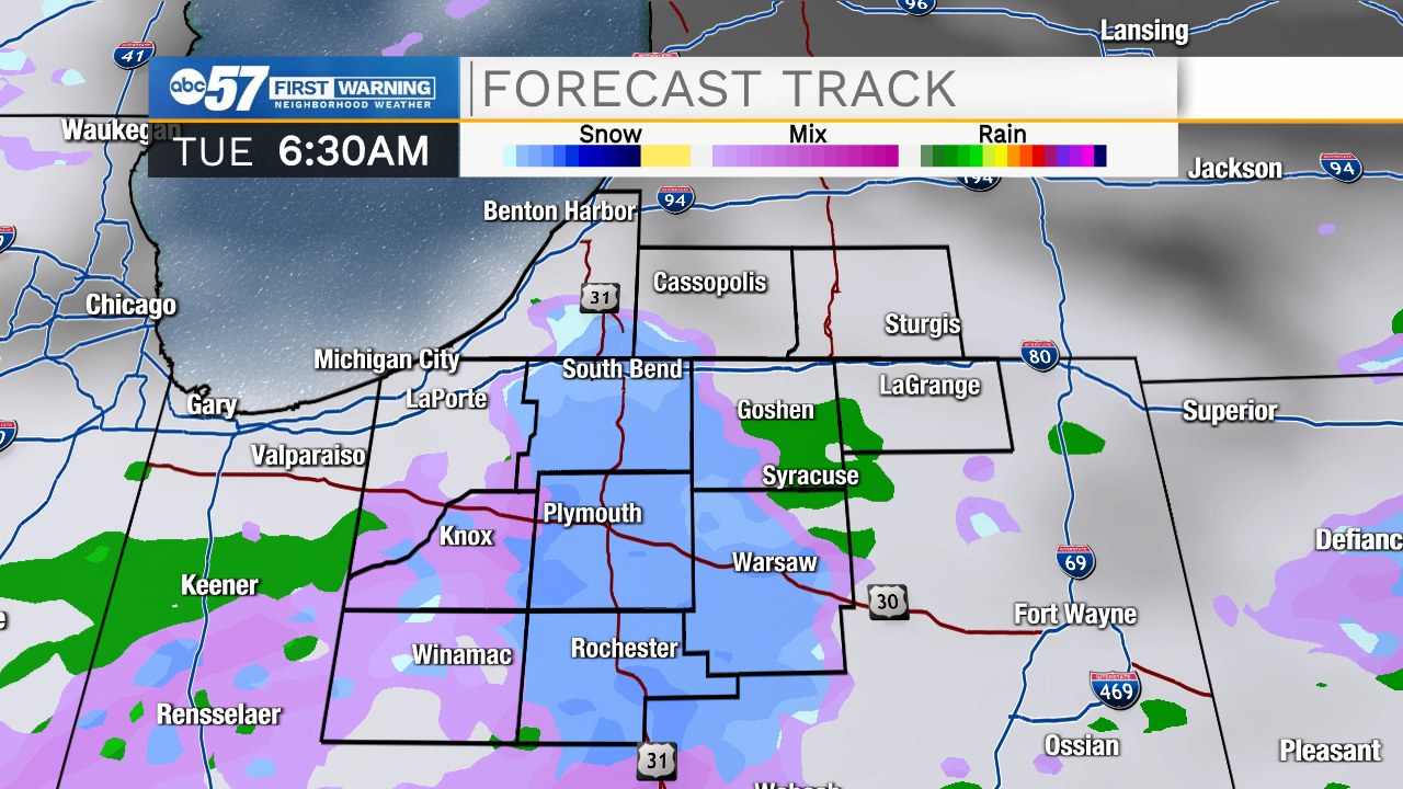
Late Tuesday evening and overnight is the highest concern for any accumulating snow.
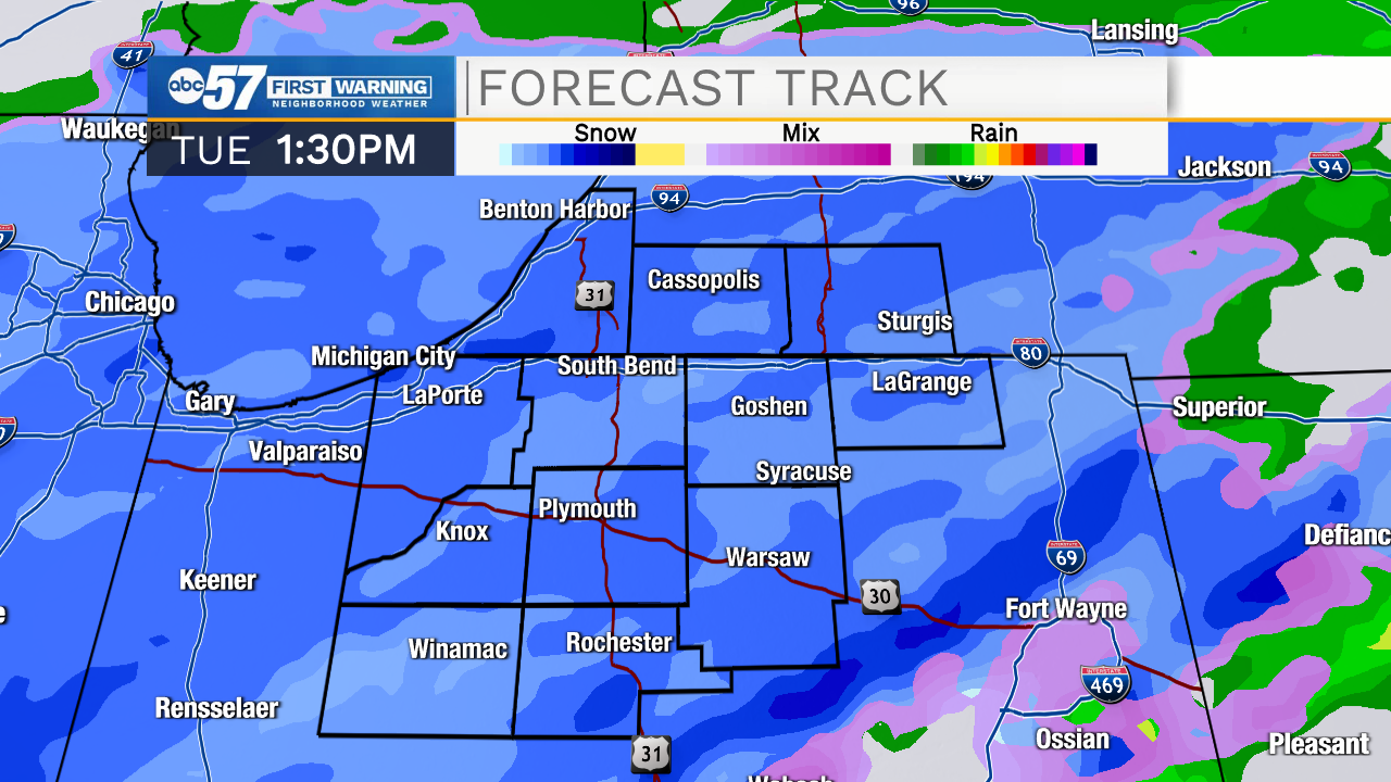
Tuesday night and Wednesday morning roads could be slick, but snow tapers off past Wednesday morning. The rest of the week looks dry and snow likely starts to melt quickly with our warm ground temperatures.
Today: Partly cloudy. High 62.
Tonight: Partly cloudy. Low 40.
Monday: Mostly sunny, breezy. PM rain. High 64.
Tuesday: Mixed precipitation with mostly snow by evening. High 39.