ABC57 First Warning Neighborhood Weather Forecast
Monday, August 9th, 2021
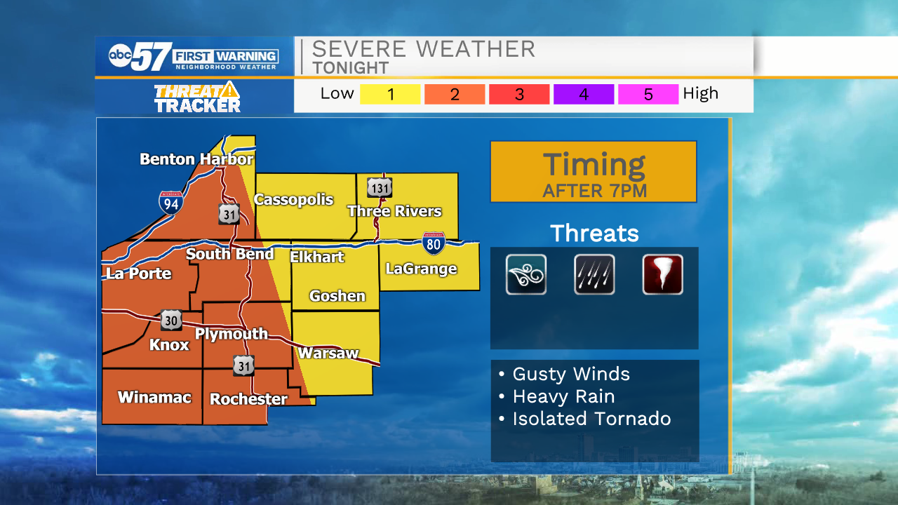
A round of scattered thunderstorms after 9am into the early afternoon. We'll have a break from the rain before another round of storms moves in late in the evening. This round could be strong to severe. Strong wind is the main threat, but heavy rain is also possible and isolated weak tornado cannot be ruled out.
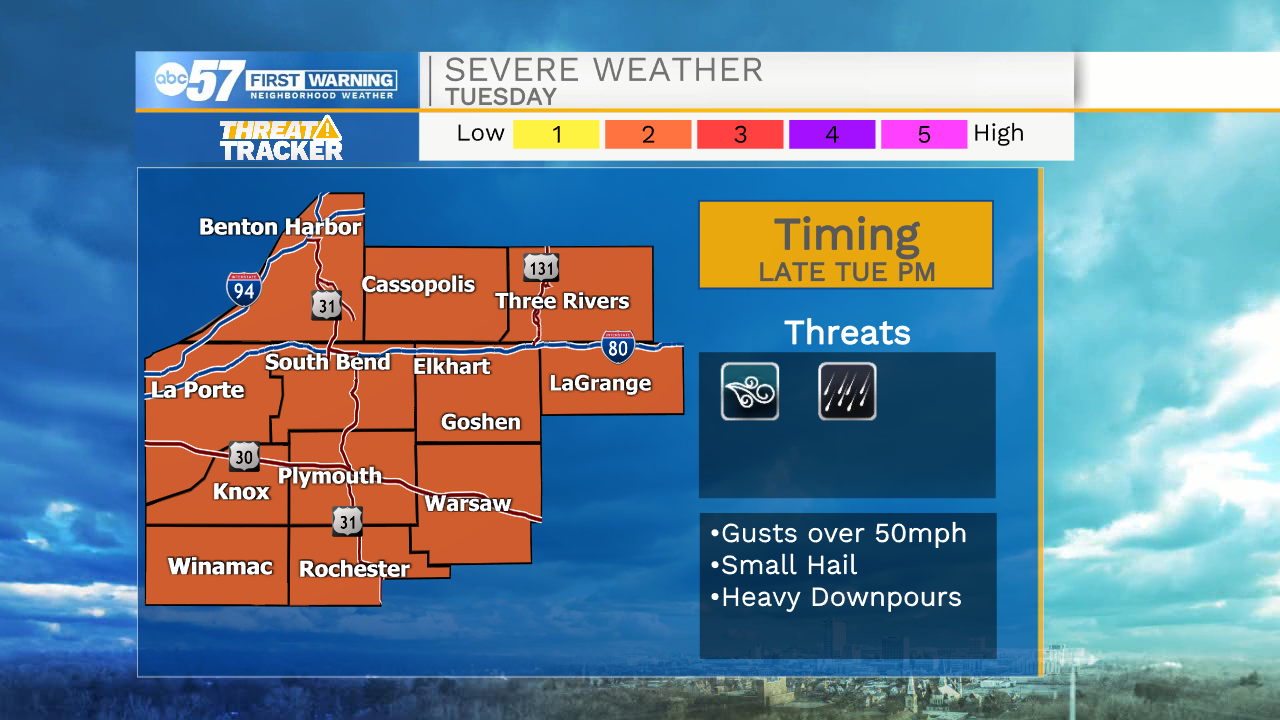
A few more isolated storms Tuesday with hot temperatures and some sunshine at times. Another round of scattered storms moves in Tuesday night. This round again could be strong to severe. A few more thunderstorms possible Wednesday before we dry out Thursday. Its nice into the weekend, with sunshine and low 80s.
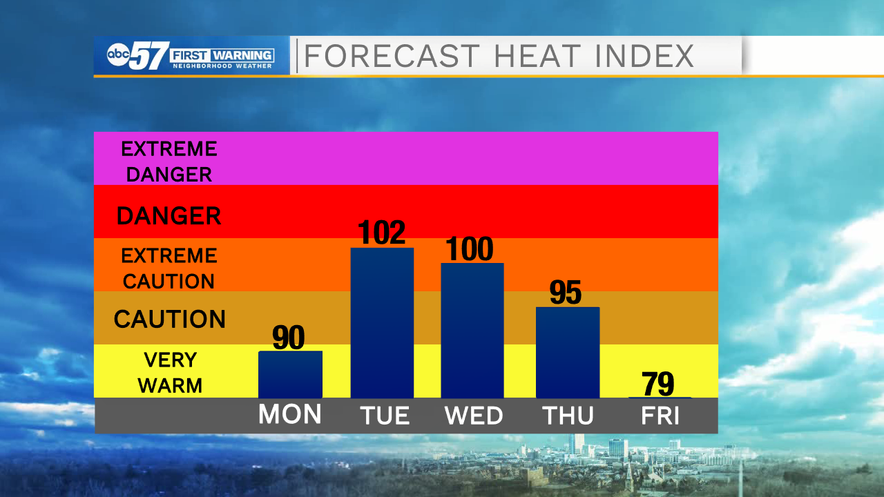
Today: Scattered thunderstorms. High 85.
Tonight: Scattered thunderstorms, possibly strong to severe. Low 72.
Tuesday: Isolated storms. Strong storms possible late. High 90.
Wednesday: Scattered thunderstorms. High 88.