Second July 20th tornado confirmed
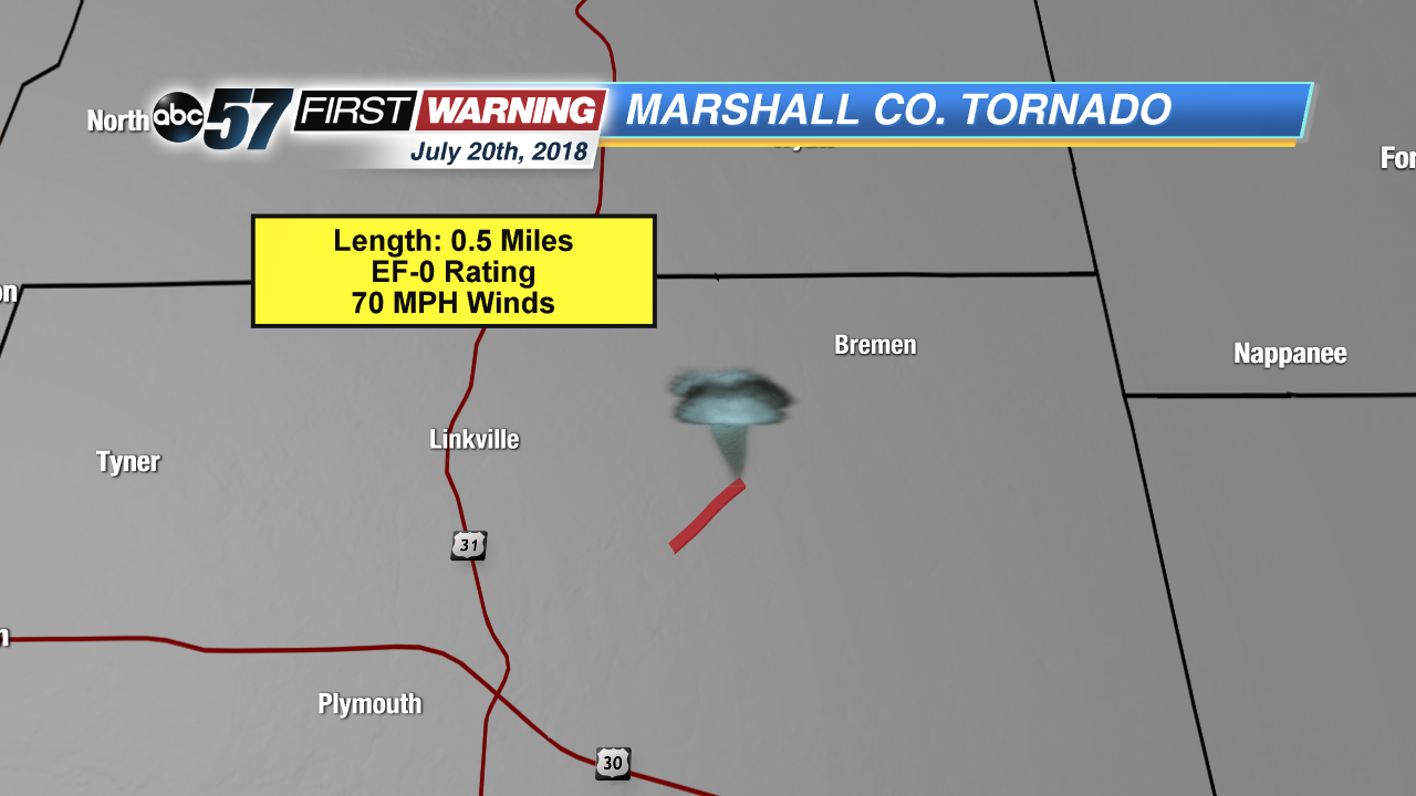
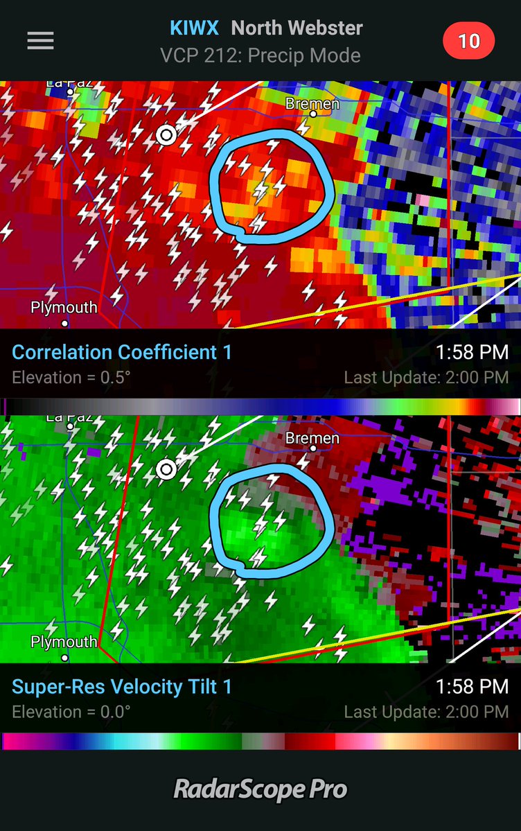
The local National Weather Service office has confirmed that a second tornado did touch down on July 20th. This time, it was in Michiana! An EF-0 tornado originally formed at about 1:53 PM EDT last Friday to the south and west of Bremen, IN. It traveled 0.5 miles in 2 minutes before lifting off the ground. Peak estimated wind speeds clocked in at 70 mph.
A second tornado has been confirmed from the July 20th 2018 severe weather event in Marshall County. Details: https://t.co/Jg4l9Rt1Dz
— NWS Northern Indiana (@NWSIWX) July 23, 2018


Luckily, there were no injuries or fatalities reported with this brief twister. Some damage to a barn did occur, corn was blown over, and some tree branches were broken along the Issac Sells ditch.
The first tornado from last Friday occurred in Wabash county, farther south.
Here is our update to the Wabash tornado: https://t.co/v6aOr7TE1B
— NWS Northern Indiana (@NWSIWX) July 23, 2018
Be sure to tune into ABC 57 News at 5 PM! Meteorologist Alex Countee will have more about today's development.

