Snow falling through weekend, but low accumulations for most


The weekend is snowy, although it doesn't look like much is going to stick. For today, expect snow showers off and on.
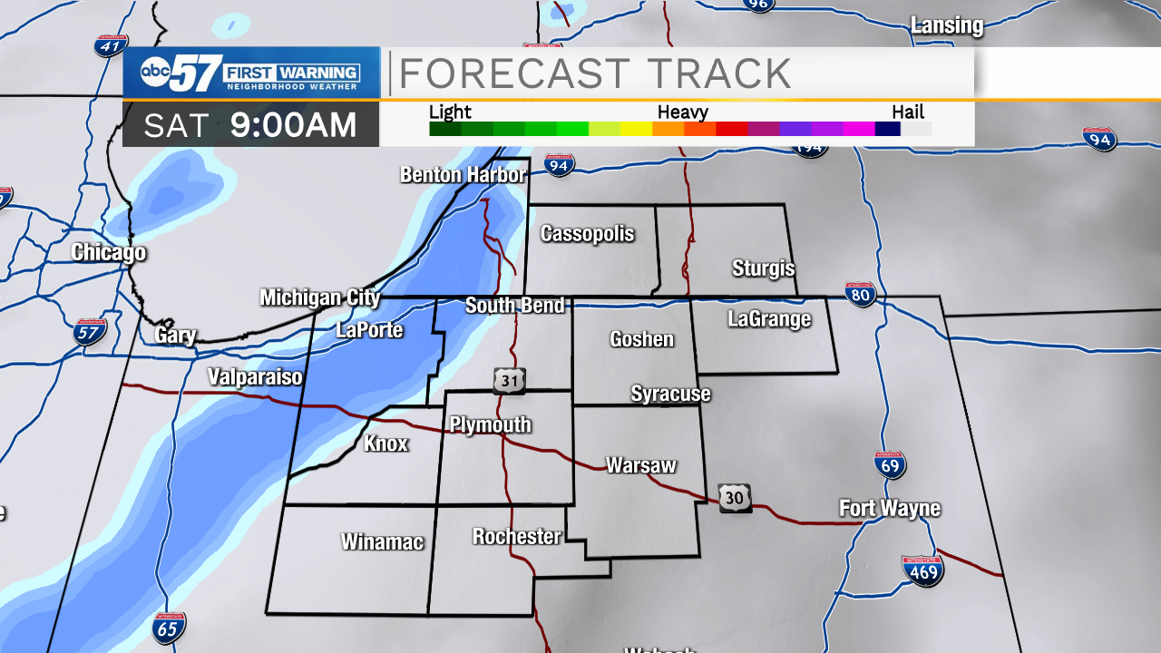
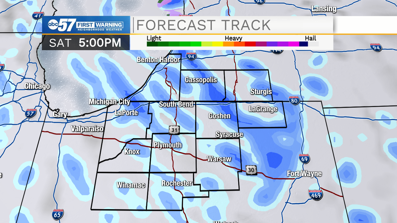
Accumulations should stay low again today.
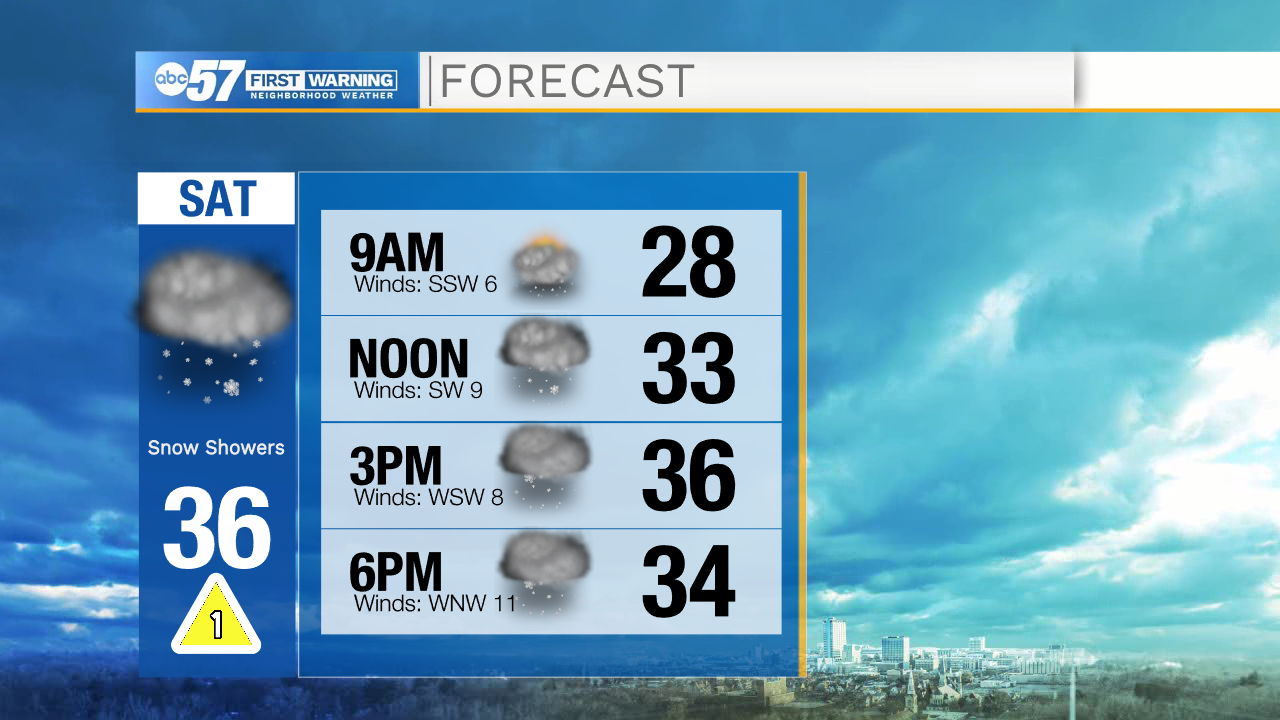
Temperatures are near 30 this morning, and reach a high around 36. If you're driving anywhere, be cautious as there could be rapidly changing visibility with snow falling. Snow showers continue tonight as the wind picks up.
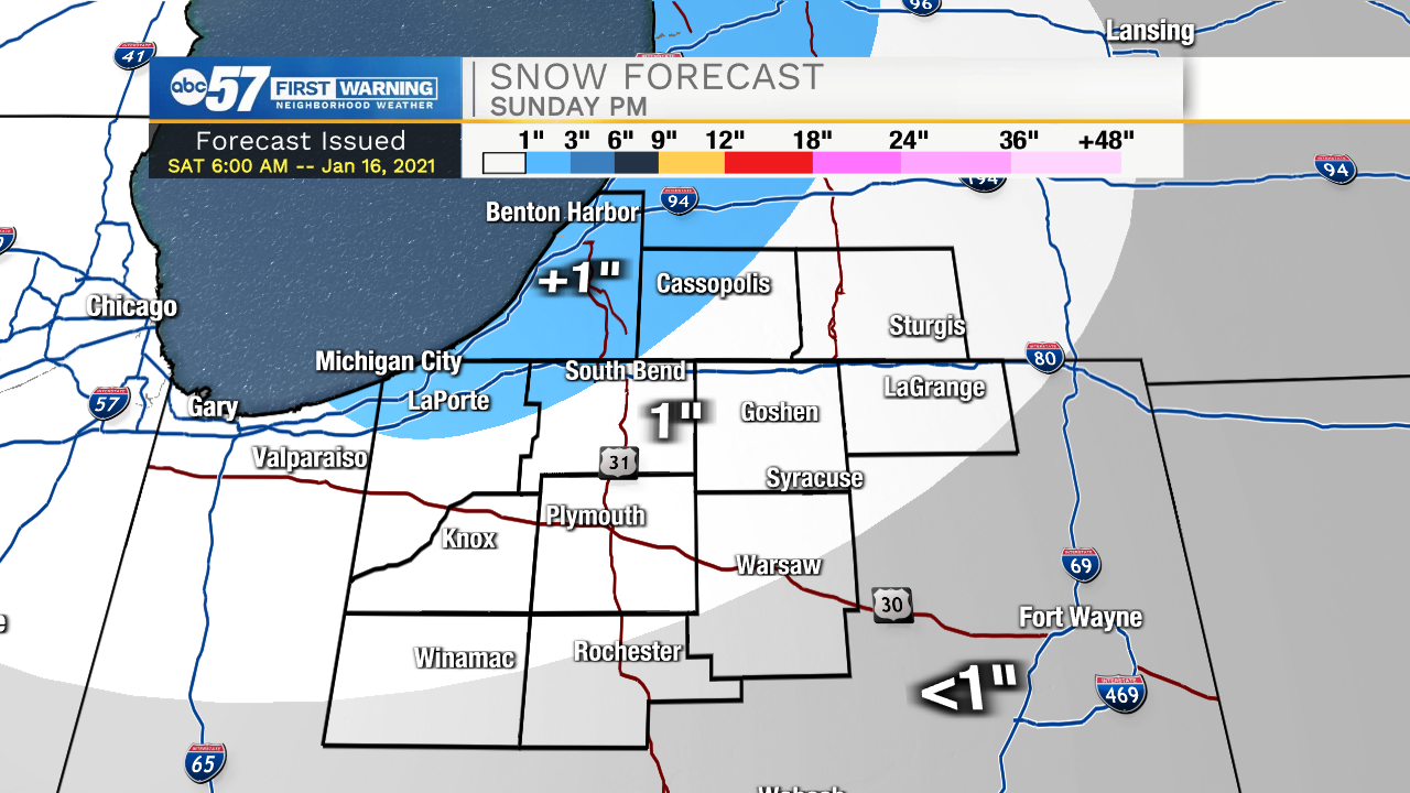
Sunday, more of the same. The best chance of getting any measurable snow is Sunday afternoon/evening.
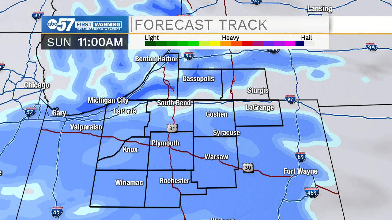
Michiana could pick up 1 - 2" of snow total on Sunday.
There are a few snow showers that linger into Monday. Tuesday morning there is an additional chance for a few snow showers, otherwise, the week ahead looks quiet.
Today: Scattered snow showers. High 36.
Tonight: Snow showers. Breezy. Low 30.
Sunday: Snow showers. 1-2" possible. High 34.
Monday: Mostly cloudy, few snow showers. High 32.