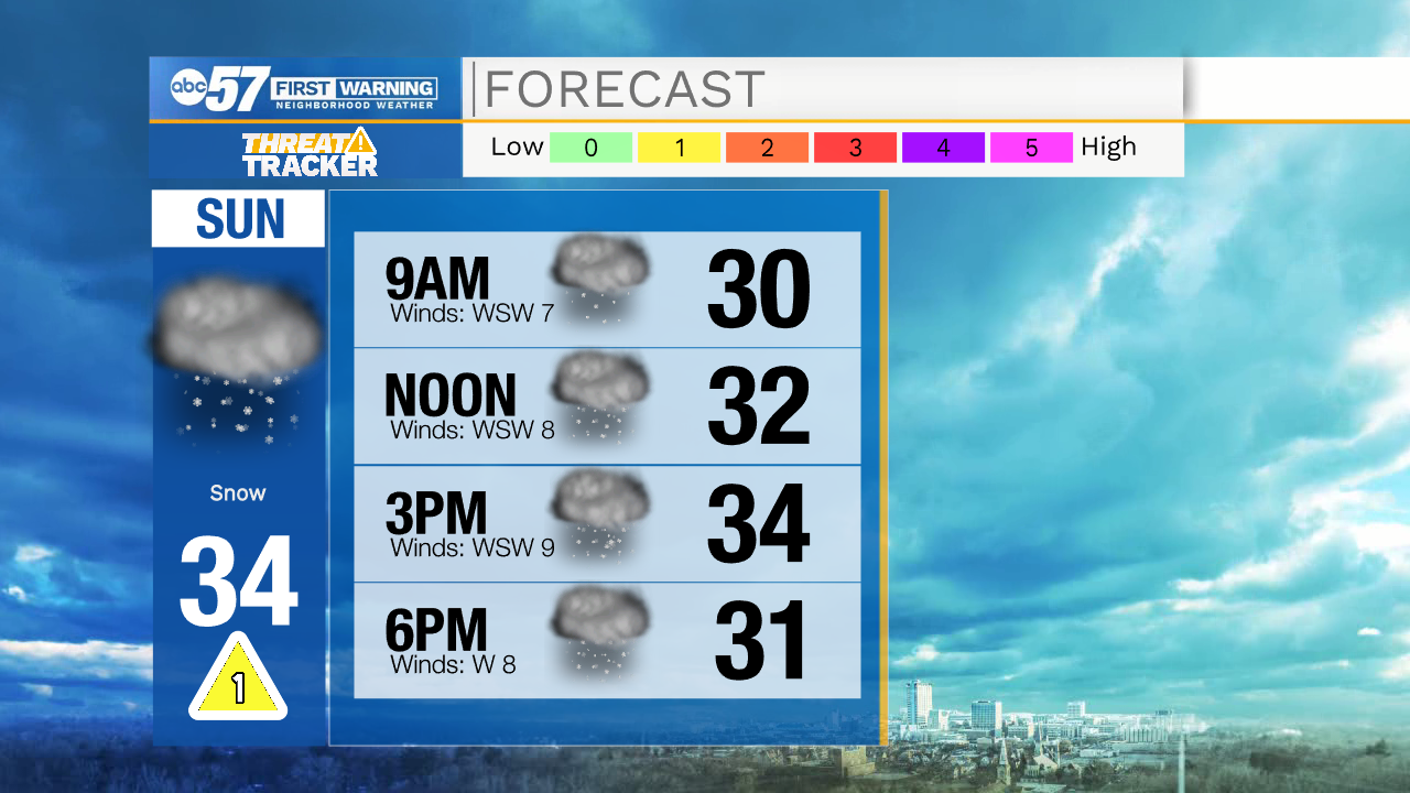
Snow remains in the forecast through the rest of the weekend


This evening a few isolated snow showers and drizzle are possible. Little to no impacts are expected through the overnight hours. Tomorrow morning lows will drop into the lower 30s. Tomorrow afternoon more snow showers are possible. Our best chance to see snow accumulation will be tomorrow evening into the early morning Monday, with 1-2” possible. A few isolated slick spots are possible on the roadways. Isolated snow flurries will linger into Monday and Tuesday. Most of next week looks quiet, with better snow chances returning into next weekend. High temperatures this week will be in the low to mid 30s. A little sunshine returns to our forecast Wednesday and Thursday.
Tonight: Snow flurries. Low 30.
Tomorrow: Snow showers. High 34.
Monday: Snow showers. High 32.
Tuesday: Isolated flurries. High 32.