


The Mess this week is a moving target of wind, rain, mix, snow and a temperature swing. The timeline of these events impacts the subsequent next part of the forecast. Roughly it plays out like this.
- Southey wind gusts +35 mph Wednesday
- Temperatures warm to 50 through early Thursday morning
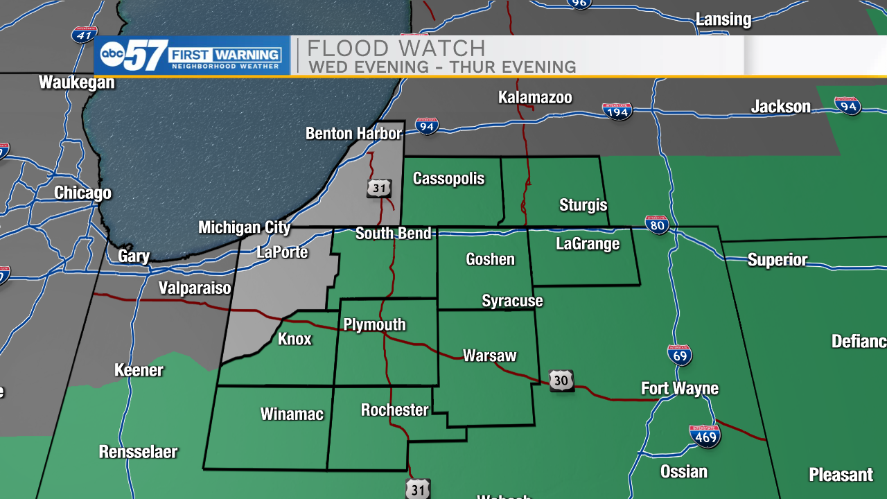
- Rain starts Wednesday evening, the heaviest overnight into Thursday.
- Flooding is a concern with +1" of rainfall, combined with rapid snow-melt, in total 2"-3" of water.
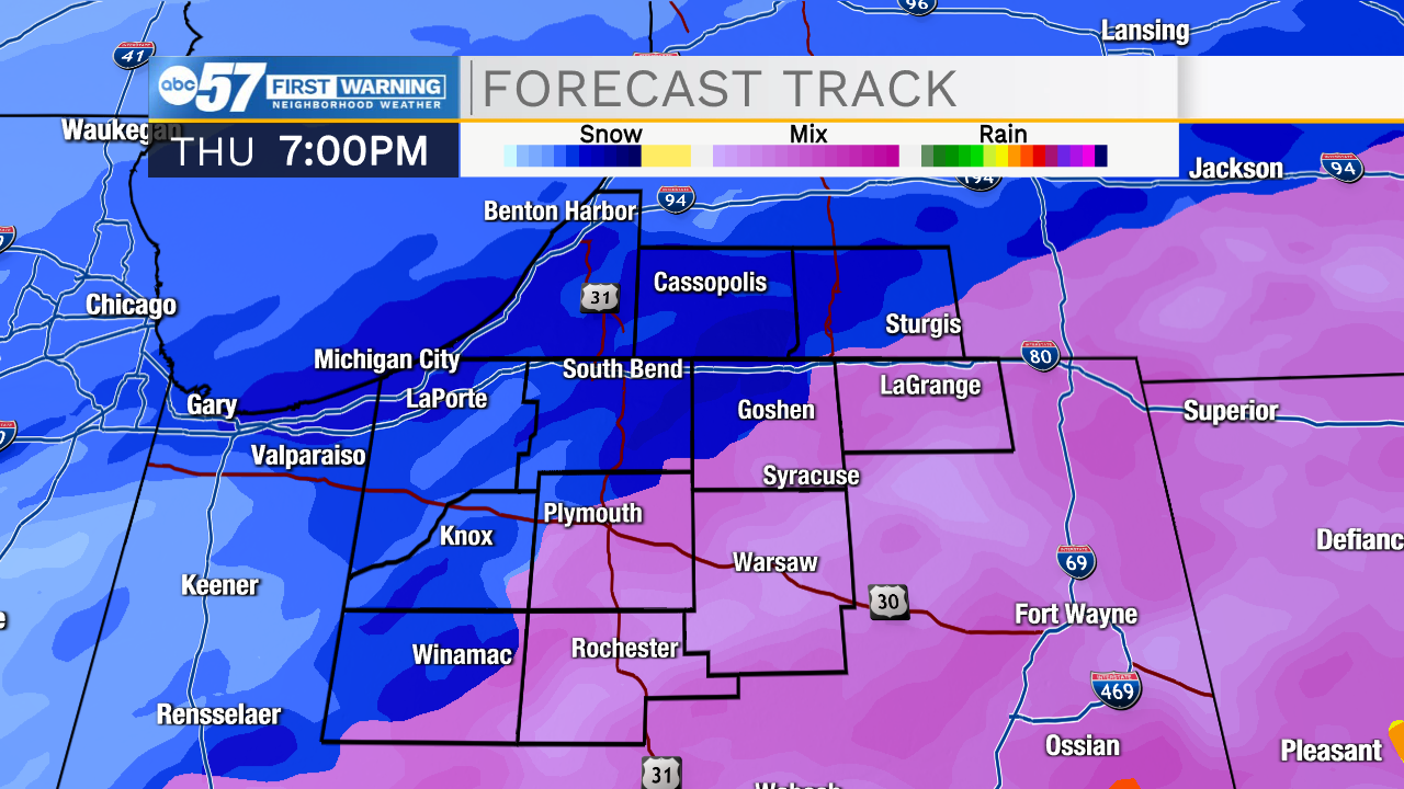
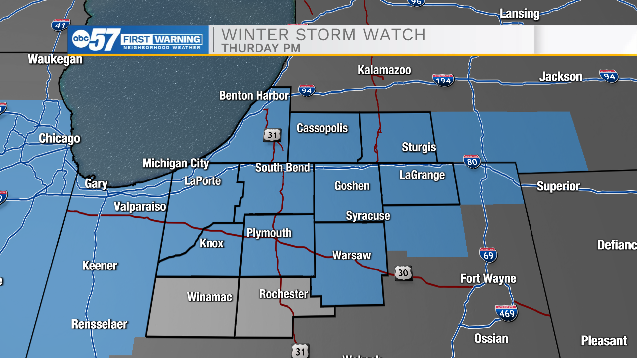
- Temperatures plummet Thursday morning
- 30s in the morning, 20s afternoon, teens overnight.
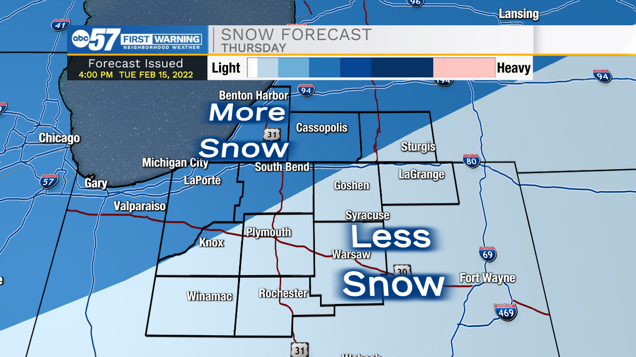
- A burst of snow Thursday afternoon could bring quick accumulation Thursday afternoon-evening.
- A BIG, if is how quick is the refreeze and the impact on snowfall and potential ice.
Friday is likely off to a slick start, but the forecast is fair through the weekend.
Tonight: Temperatures rise to 40, increasing clouds and wind.
Wednesday: Windy, rain by the evening. High 50.
Thursday: Falling temperatures, rain/snow showers. A burst of heavy snow possible. 28 by the afternoon.
Friday: Cold and sunny. High 24.