Roads to watch: Tuesday morning commute to be slick
Posted: Nov 12, 2018 4:29 PM EDT
If you were out and about Friday evening, you are well aware that it does not take much snow to cause treacherous driving conditions. There were numerous spin-outs, accidents and road closures as a result of less than an inch of snow combined with subfreezing temperatures. Those incidents even happened on major roads and highways. Fast-forward to tonight, which is likely to feature accumulating snow across parts of La Porte, St. Joseph, Cass, and Berrien Counties.
Not only will there be more snow this time around, but it will be falling during the morning rush of Tuesday. The result will be slushy to slick and perhaps even snow-covered roads in the above counties. The worst of the conditions will be confined to Berrien County, far northern La Porte and St. Joseph Counties and western Cass County. That includes several major highways and interstates.
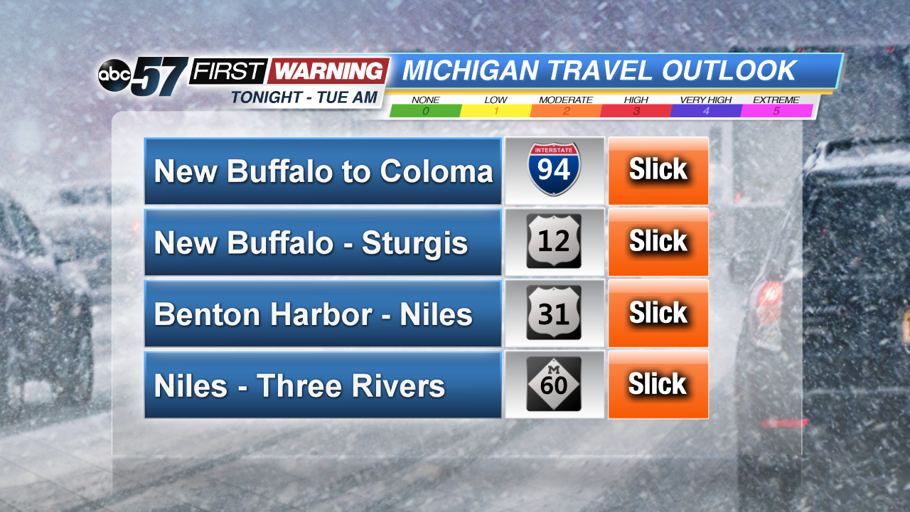
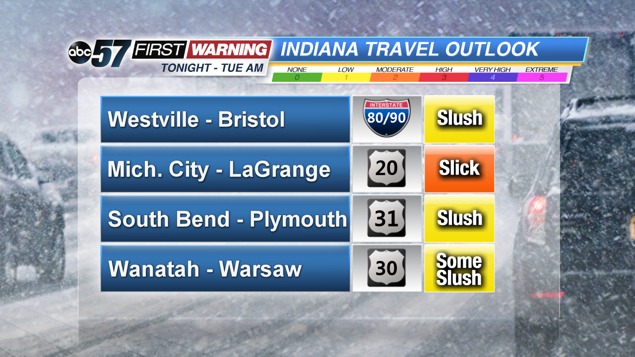
Based on where the lake effect snow bands will be, the thinking is that Michigan roads will be impacted the most. I-94, U.S. 12, U.S. 31, M-60, M-51, and M-139 will all have a high chance of featuring slick, snowy and icy conditions during the overnight and morning hours. Side streets and secondary roads will also become slick in spots across Berrien and Cass Counties. In Indiana, any road north of U.S. 30 could be slushy to slick. That includes the Toll Road, U.S. 20, U.S. 31 north of Plymouth, IN-2, IN-23, and IN-331. Again, it's the northern half of La Porte and St. Joseph Counties that will have the potential to be the slickest.
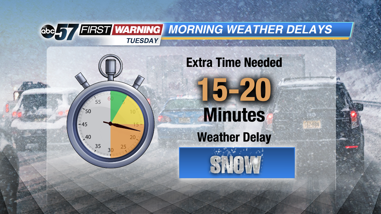
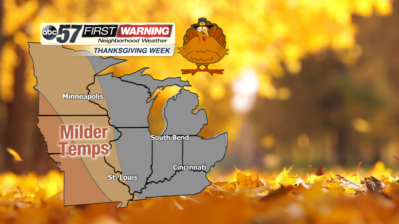
If you have to head to work or school, it would be a good idea to allow 10-20 extra minutes to your morning routine to account for the potential of not only hazardous roads, but scraping your vehicle. The good news is that temperatures look to warm up -- at least to an extent -- by the time we get to next week. That includes the big Thanksgiving holiday weekend, which looks to feature highs in the 40s, perhaps upper 40s!


