


Areas of dense fog this morning could slow down your morning commute. We’ll briefly see sunshine before clouds increase. Isolated showers and thunderstorms are possible after midday. A stronger storm cannot be ruled out. Isolated showers and storms are possible Saturday with more widespread storms Sunday morning. Even with the chance of rain, the weekend is not a washout.
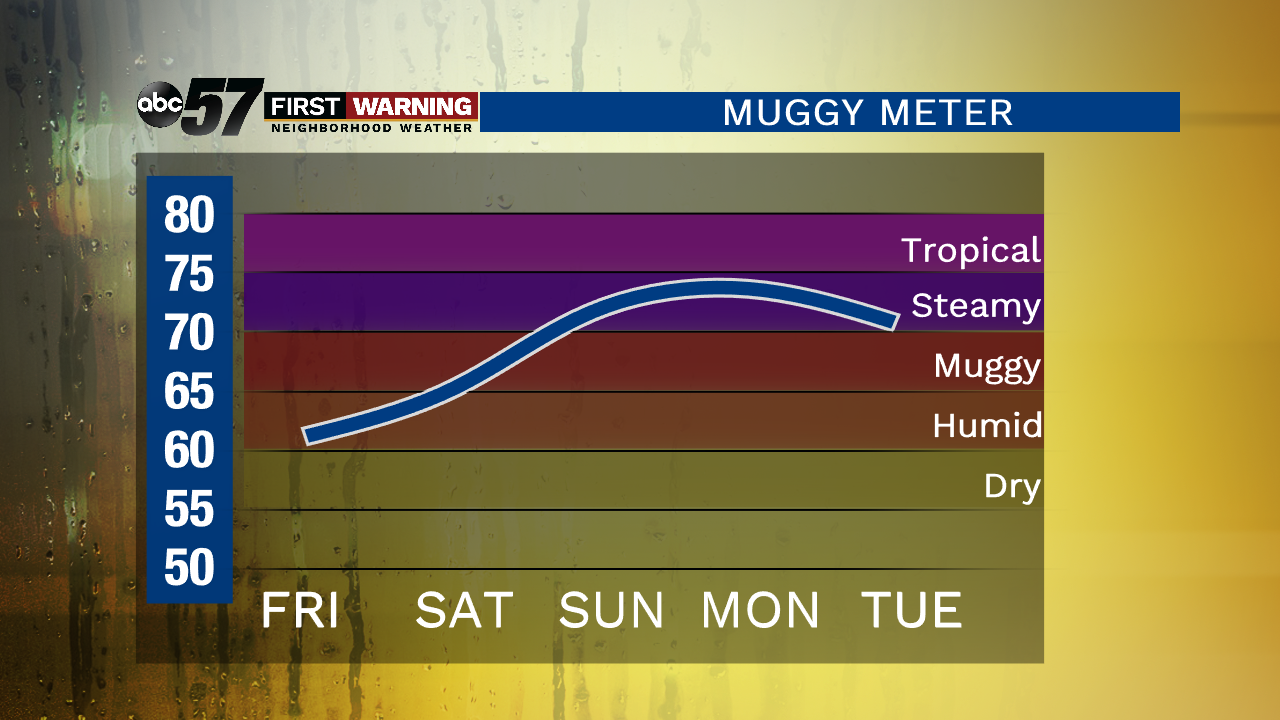
Over the weekend the heat and humidity start to rise. Daytime highs make it into the mid 80s by Sunday and upper 80s Monday. Heat indices will likely climb into the 90s. Temperatures cool down after the next system on Tuesday.
Today: Increasing clouds, isolated showers and storms, high of 78.
Tonight: Mostly cloudy, chance of a shower/storms, low of 64.
Saturday: Isolated showers and storms, high of 82.
Sunday: Scattered showers and storms, high of 86.