
-
1:06

Marshall County Humane Society reschedules Dog Egg Hunt
-
2:01

Martin Luther King Dream Center hosts MLK March in South Bend
-
1:54

South Bend Cubs opener postponed by weather, but fans still find...
-
2:01

Sights and sounds from South Bend Cubs Opening Day
-
1:32

NIPSCO ’flatly rejected’ further negotiations, USW workers...
-
3:36

The art of groundskeeping at Four Winds Field
-
3:32

The history behind America’s only ballpark synagogue turned...
-
1:59

South Bend opens season against Quad Cities in familiar Midwest...
-
4:21

South Bend Cubs owner discusses $48M stadium expansion, changes...
-
3:19

A look into the new South Bend Cubs 2026 roster
-
5:17

Expansion goes beyond Four Winds Field, new restaurants, bars,...
-
6:18

What’s new this season? South Bend Cubs unveil major improvements...

The end of 2020 is cold and quiet, the forecast is fair Thursday afternoon through midnight. The start of 2021 could be icy. All focus is on the freezing rain threat Friday. There's been a significant slowdown in the arrival of rain and temperatures look to stay colder, longer. In summary the ice threat is more significant for travel Friday because freezing rain fall during the daylight hours. The greatest travel risk is from 8:00 a.m. to 2:00 p.m. A wintry mix of sleet and rain is also possible. The afternoon isn't much better, it's just not as icy with a cold (wet) rain. The weekend and early next week are uneventful.
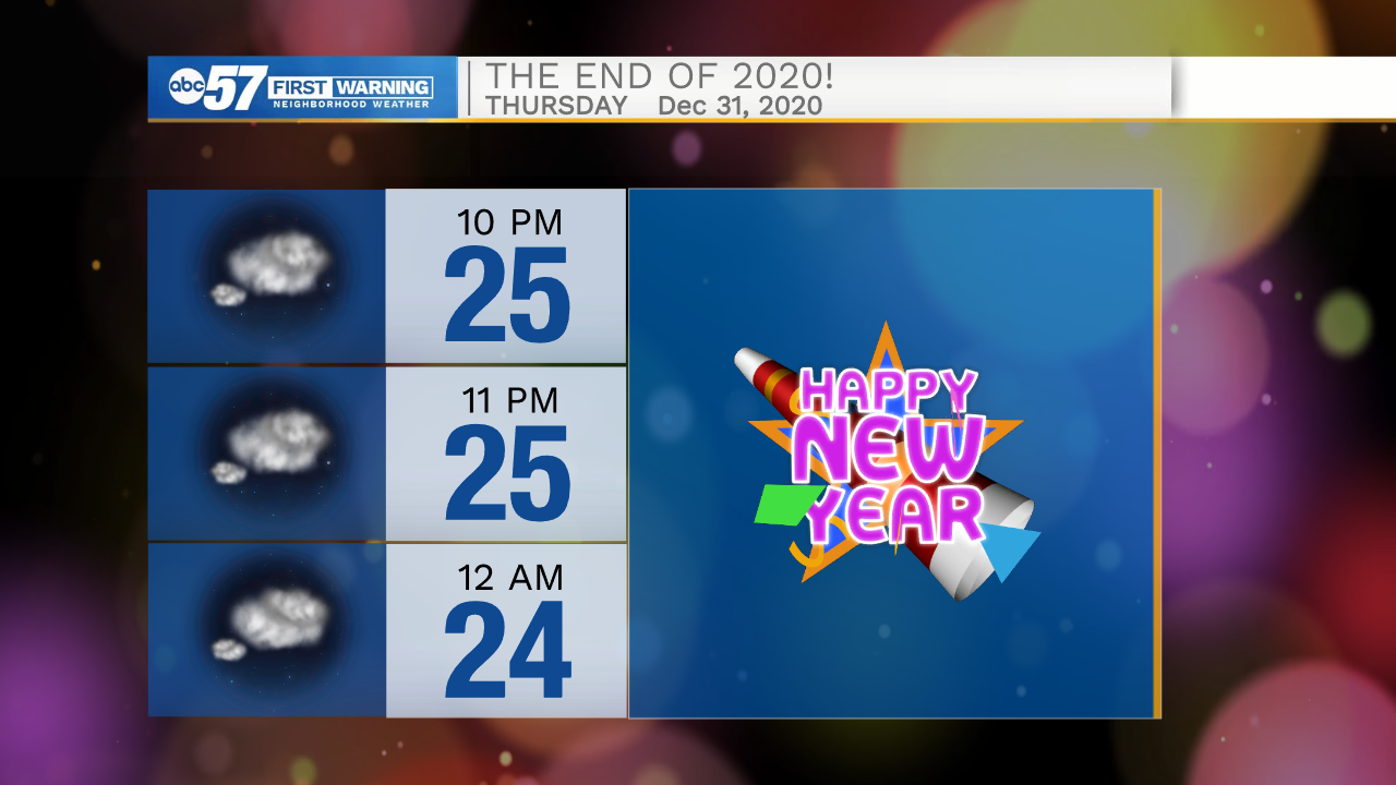
Tonight: Mostly cloudy Low 25.
Thursday: Mostly cloudy. High 34.
New Year's Day: Freezing rain, then rain. High 36.
Saturday: Cloudy. High 38.