


Strong to severe storms continue to look likely for almost all of Michiana late today and into tonight. Let's take a look at one of the more concerning threats this evening. The chance for a few tornadoes is out there for all of us late this afternoon into early tonight. Our tornado index stays at zero until we push towards the late afternoon. Notice that it's not terribly high in one particular spot, but stays on the low to medium side of the scale throughout the entire event.
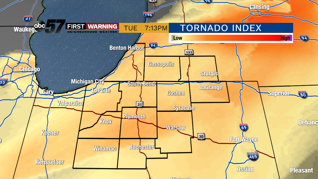 Tornado risk around 7 PM Tuesday evening
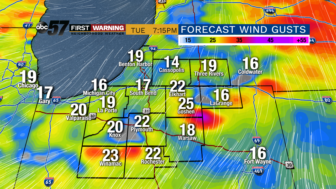 Wind gusts increase along with the tornado threat Tuesday evening
While that threat is ongoing, we'll notice the wind pick up as well. Even before the storms roll in late today, wind gusts of 30 mph are possible around lunch time and throughout the afternoon. Gusts of 40 to maybe 50 mph could follow whatever strong storms pop up as the cold front slides through tonight.
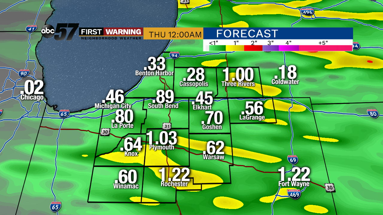 Totals of one inch or more are possible under heavy downpours this evening and tonight
The strongest of these storms will likely be packing some good rainfall rates. Even though we're not expecting much with the totals by tomorrow morning, there could be some standing water on the roads under the downpours.
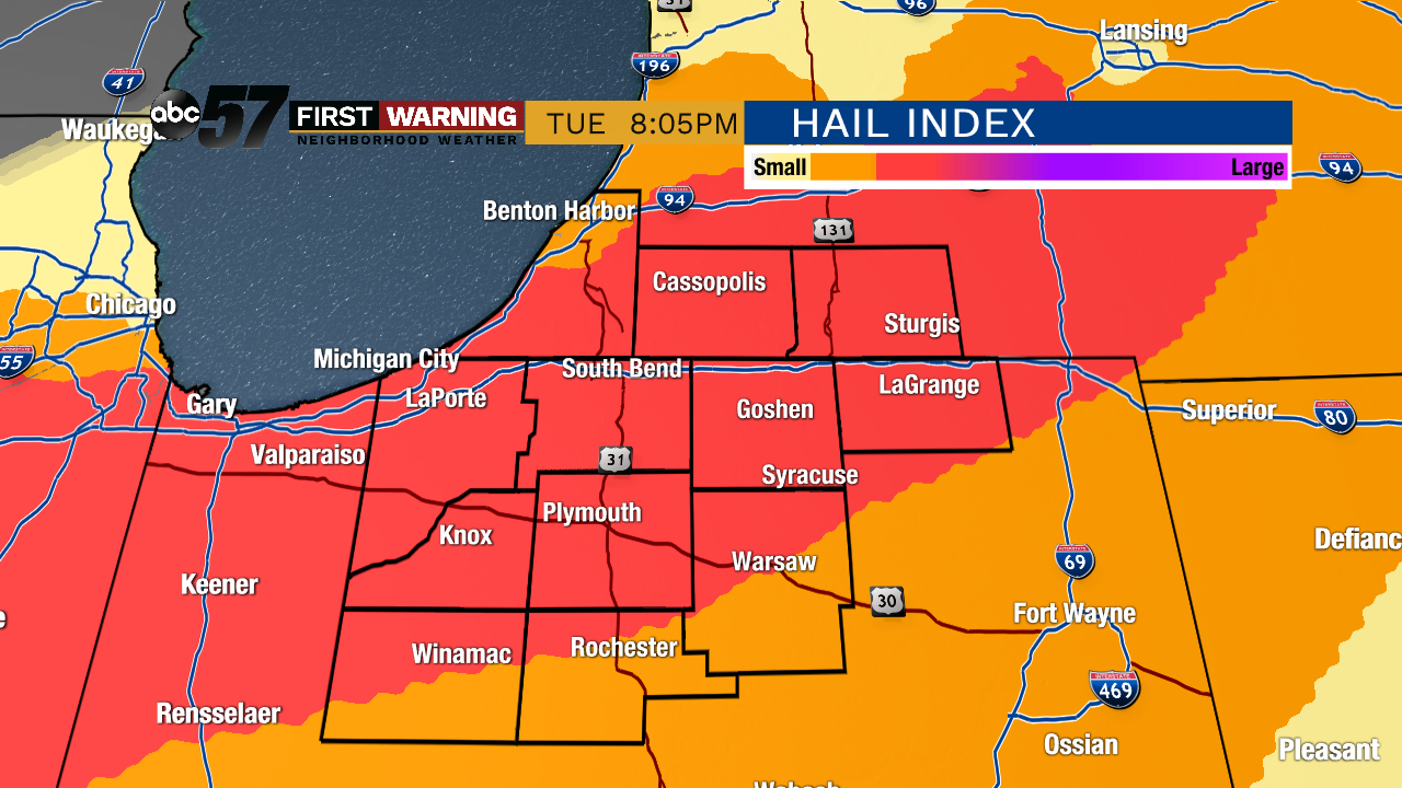
And some of that heavy rain will be accompanied by some hail. The risk seems to peak in the evening, right when the tornado and wind risk will peak too. Some potentially damaging hail is possible with the strongest storms from after 6 pm through 11 or so tonight. Afterwards, as the cold front moves past, the hail and overall severe threat drops off. Continue to stay connected with us on social media and tune back starting at 5 PM for more updates and live tracking.
More on the other threats (heavy rain and hail) can be found here: