UPDATE: Stormy start to Friday
By:
Tom Coomes
Posted: Aug 16, 2018 4:27 PM EDT | Updated: Aug 16, 2018 10:48 PM EDT

-
1:43

Storms to clear the air of smoke
-
1:31

When will Air Quality Improve?
-
1:32

Hazardous Air Quality to start the day
-
1:25

New Buffalo vacationers and residents feel the effects of poor...
-
4:35

A mother’s worst nightmare: Hanna Dean fought off the man trying...
-
1:01

Fire and smoke season are lasting longer
-
2:18

St. Joseph County Clerk talks election security ahead of President...
-
2:38

The Big Boy Steam Locomotive makes a stop in Indiana for the...
-
1:20

La Porte County fair organizers adjust for heat and haze
-
2:56

’Mother Maddie’ helps Notre Dame freshman Jacy Abii adjust...
-
1:56

Very Unhealthy Air in Michiana
-
2:45

Answering sun protection questions

UPDATE: A line of storms moving across northern Illinois will slowly weaken overnight but could still bring heavy rain and thunder to Michiana by Friday morning. The system slowly clears through the rest of the day.
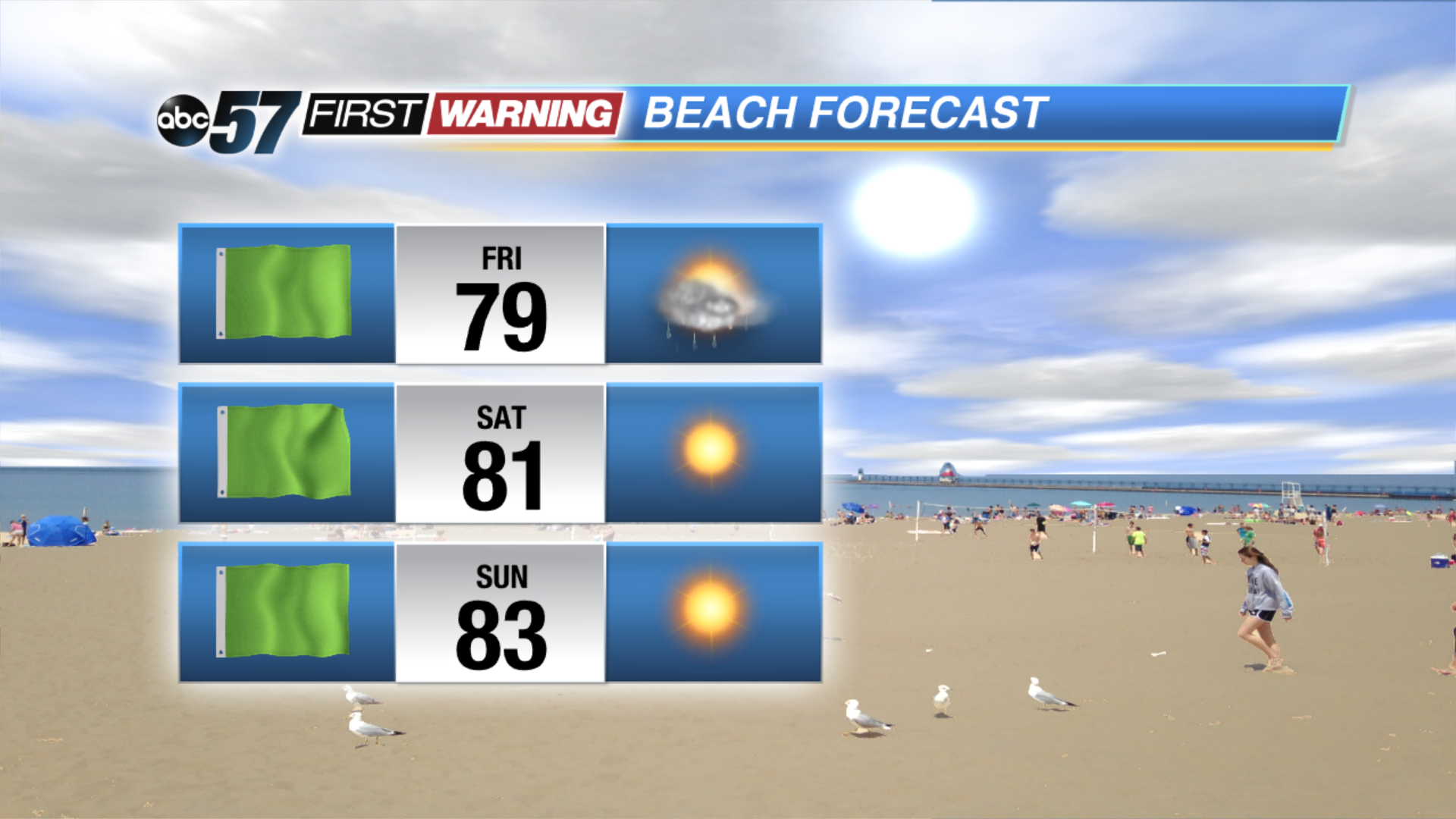
The clouds and light rain showers slowly clear to end the week. Skies continue to clear Friday night, then warm and sunny weather returns for the weekend. The next round of showers and storms arrives Monday night into Tuesday. Milder temps return for the middle of next week.
Tonight: Mostly cloudy, chance of showers, low of 68.
Friday: Mostly to partly cloudy, isolated showers, high of 78.
Saturday: Mostly sunny, high of 82.
Sunday: Sunny, high of 84.
Sign up for the ABC 57 Newsletter