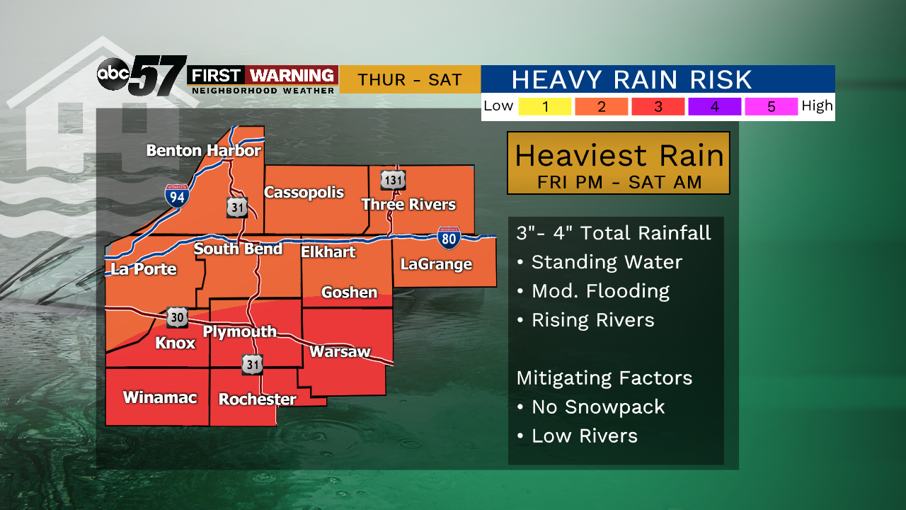
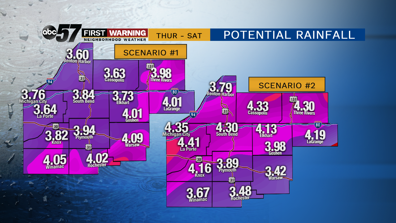
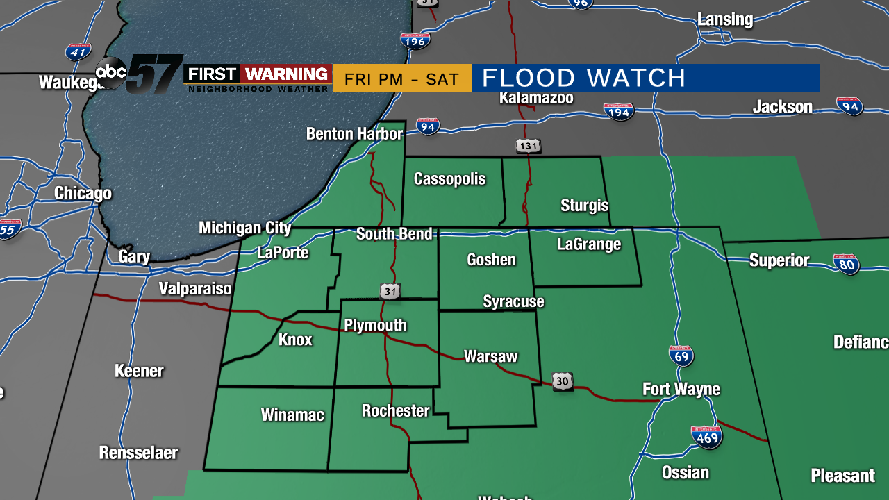
Heavy rain is the biggest threat over the next three days. Rain begins Thursday but the biggest impact will be Friday night through Saturday when the heaviest rain falls. Initially, standing water and road flooding would be the primary concern, then rapid stream and river rise to low/moderate flood stage. This does not look to be a repeat of February 2018, there is not a significant snowpack and the ground is not very frozen. Temperatures fall Saturday into Sunday with some wintry mix and freezing a concern.
Tonight: Few clouds. Waring from 22 to 26 by morning.
Thursday: Mostly cloudy, breezy, PM rain. High of 48.
Friday: Scattered rain showers. High of 52.
Saturday: Rainy, temperatures fall from 38, rain changing to snow late.
Bottom line if you typically experience minor flooding with heavy rain events you should prepare. Severe river flooding at this time is not expected but those living in low lying areas that have experience flooding should be aware.