Humidity on the rise this weekend and another chance of rain


ABC57 First Warning Neighborhood Weather
Wednesday, June 24th, 2020
A mix of sun and clouds today with an isolated shower or storm is possible this evening. We warm back near 80F on Thursday with sunnier skies. A quick round of showers and storms are possible Friday morning. Clouds will break up some for midday before another round of storms move in late evening. Scattered showers and storms persist for Saturday but it does not look like a washout. Most of Sunday is dry with just isolated storms possible. Both the heat and humidity build in starting Friday. Hot daytime highs last through next week.
Today: Partly cloudy, PM isolated shower. High 76.
Tonight: Partly to mostly clear. Low 58.
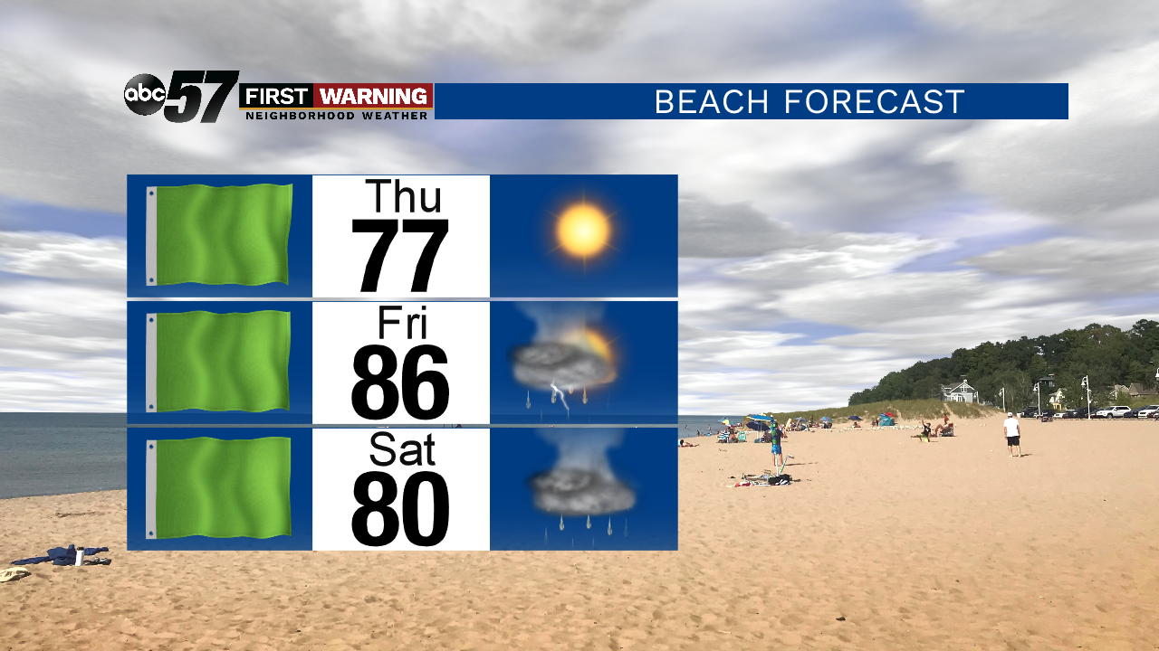
Thursday: Mostly sunny. High 80.
Friday: AM chance then some sunshine, scattered storms late. High 88.