


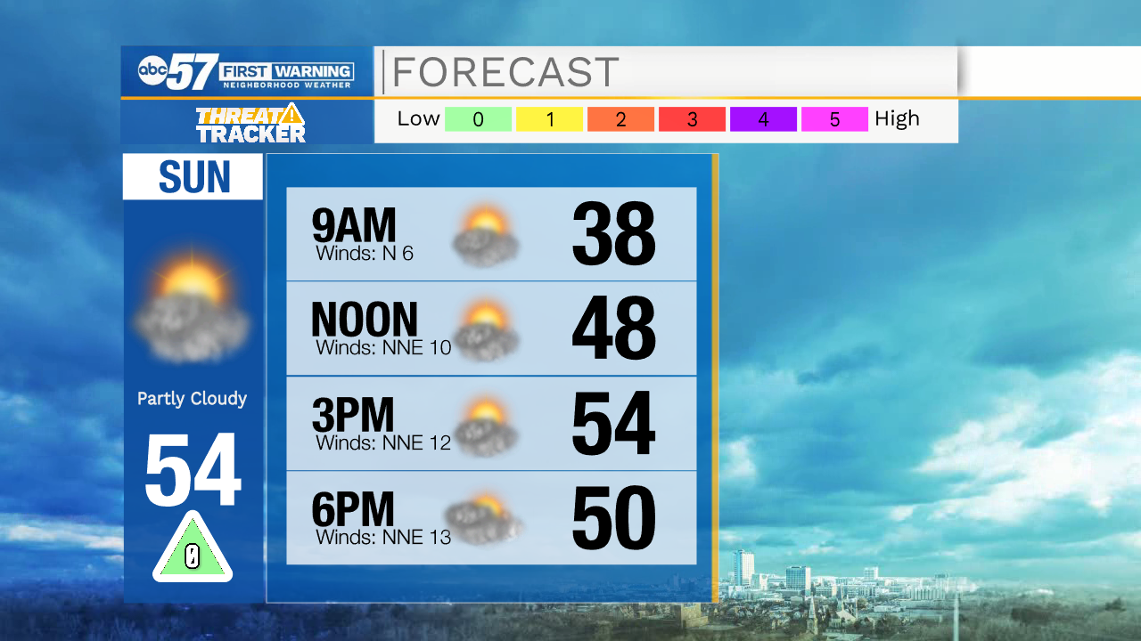
Temperatures tomorrow afternoon will top out in the mid 50s under partly cloudy skies. Our next system will move into Michiana during the late morning Monday. This system will bring a rain, snow, and freezing rain mixture. A few areas here in Michiana could see some ice accumulation, so prepare for a few slick spots on the roadways Monday around lunchtime. Once we get into the early to mid afternoon temperatures will jump back above freezing and turn the precip over to all rain. A few isolated showers and snow flurries could linger into Tuesday morning. The next chance for rain after that will be Wednesday and Thursday. High temperatures this week will mostly hold in the 40s.
Tonight: Partly cloudy. Low 34.
Tomorrow: Partly cloudy. High 54.
Monday: Rain/freezing rain. High 40.
Tuesday Partly cloudy to mostly sunny. High 50.