Quiet weekend before blast of cold air and snow
By: Emily Kennedy
Posted: Nov 8, 2019 3:09 AM EDT

-
2:14

More storms midweek
-
2:00

Elkhart nonprofit packs and delivers food for storm victims
-
0:38

Baroda community to decide on abolishment of village government
-
1:49

La Porte County tornado damage results
-
2:30

City of South Bend using AI in a resident-focused Program
-
2:59

Elkhart County Emergency Management starts recovery process after...
-
0:58

Wonderful start to week
-
0:58

Cooler out the door
-
1:27

Updated Tornado Survey- June 1, 2026
-
1:13

Severe Weather possible midweek
-
1:07

Quiet Monday, Stormy Midweek
-
2:52

GhostLight Theater presents Next to Normal Performance for Benton...

Friday, November 8th, 2019
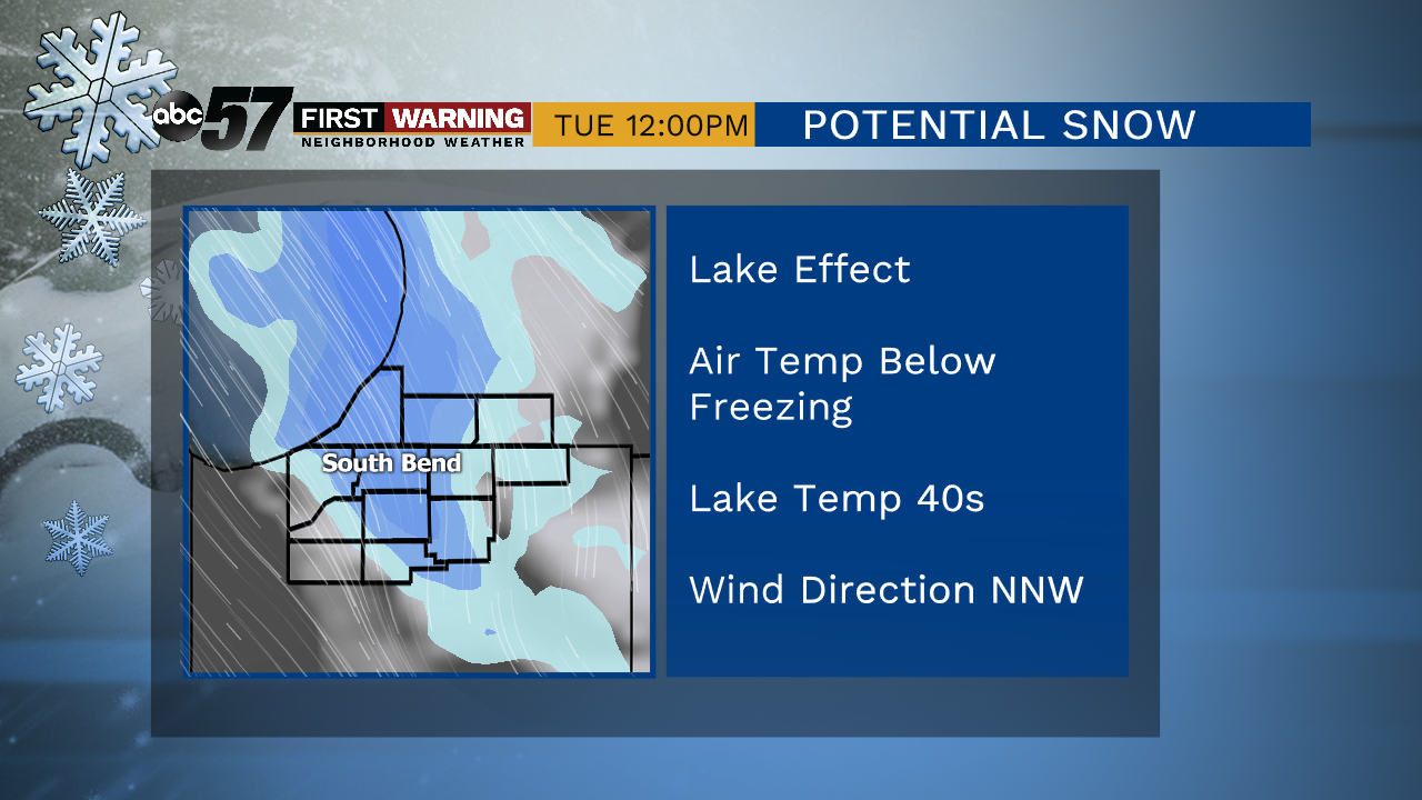
A couple of morning flurries, otherwise we’ll see a nice mix of sun and clouds. The weather remain quiet through the weekend with highs in the low to mid 40s. A few more clouds move in on Sunday with a round of snow starting as early as Sunday night heading into Monday. As the cold front brings us the snow, a bitter blast of cold air accompanies it. This drops daytime highs into the 20s heading towards midweek with lake effect snow likely. Plan on possible slowdowns for your morning commute early next week.
Today: Mostly cloudy to mostly sunny. High of 34.
Tonight: Mostly to partly clear. Low of 23.
Saturday: Partly cloudy. High of 42.
Sunday: Mostly cloudy. High of 44.
Monday: Snow showers. High of 30.
Sign up for the ABC 57 Newsletter