
-
0:56

Calm morning, storms tonight
-
2:43

South Bend residents see future plans for former Drewry’s Brewery
-
2:45

Damage assessment continues in Elkhart County following EF-2...
-
0:44

Indiana and Illinois set record for tornadoes
-
1:27

Community Build underway at Kathryn Park
-
2:34

Day two of searching for a missing child continues
-
3:47

The Elkhart community is searching for answers after a 2-year-old...
-
1:04

Overall pleasant for Michiana
-
1:52

South Bend Common Council issues an official apology to residents...
-
0:54

Slightly cool out the door
-
1:54

Suspect identified, charged in fatal hit-and-run of Timothy Johnson
-
0:39

Prairie Street Cemetery works to clear storm damage

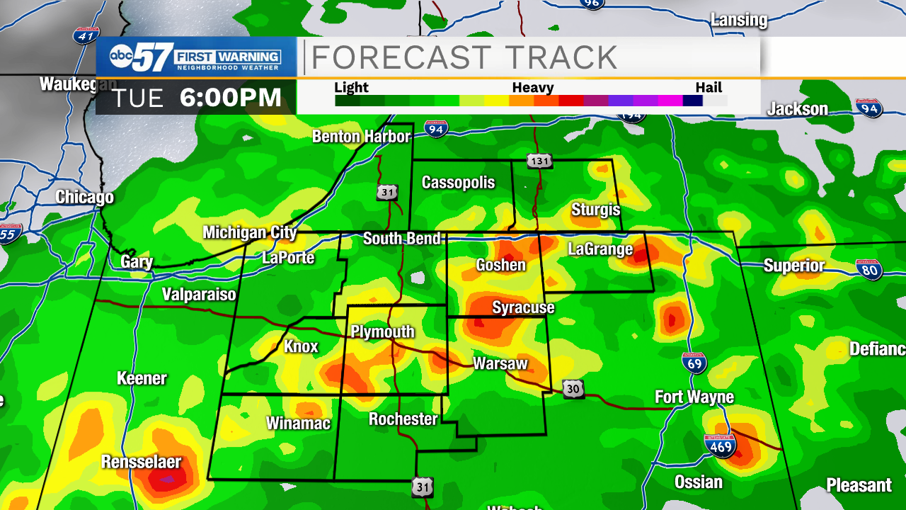
The first day of September and meteorological fall arrives with showers and thunderstorms. A few scattered storms early then more widespread by mid afternoon to early evening. The likelihood of severe weather is low due to timing and likely of energy, especially if we stay cloudy. The forecast is warm through midweek but a fall front Thursday into Friday will drip highs into the lower 70s to end the week.
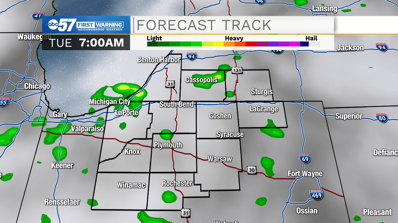
Tonight: Partly cloudy. Few showers by early morning Low 64.
Tuesday: Morning showers, mostly cloudy, scattered afternoon thunderstorms. High 78.
Wednesday: Partly cloudy. High 80.
Thursday: Partly cloudy. High 84
Sign up for the ABC 57 Newsletter