


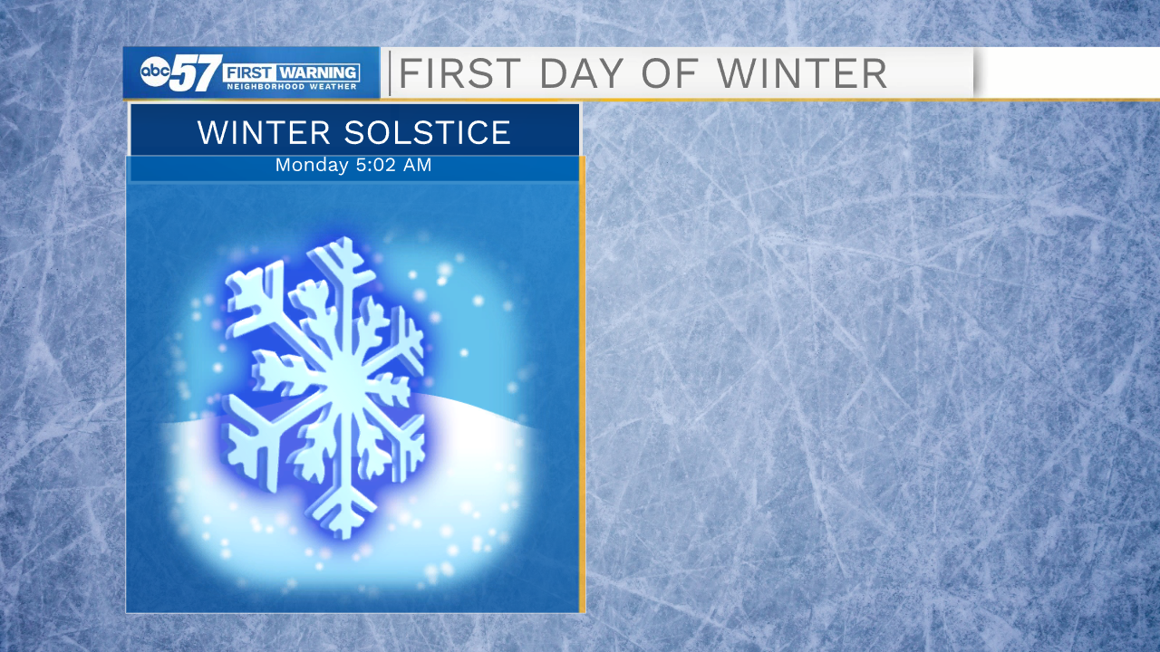
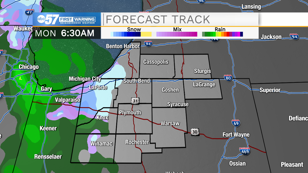
The winter solstice is at 5:02 a.m., which means it's the first day of the winter season. It will feel like winter with a chance for snow showers this morning.
Snow will fall lightly to moderately. Snow accumulations up to half an inch are possible across Michiana, while many will see no accumulation. Low visibility could become problematic during the morning commute, as many will be driving through falling snow, so you may want to give yourself an extra five to ten minutes to get to work this morning.
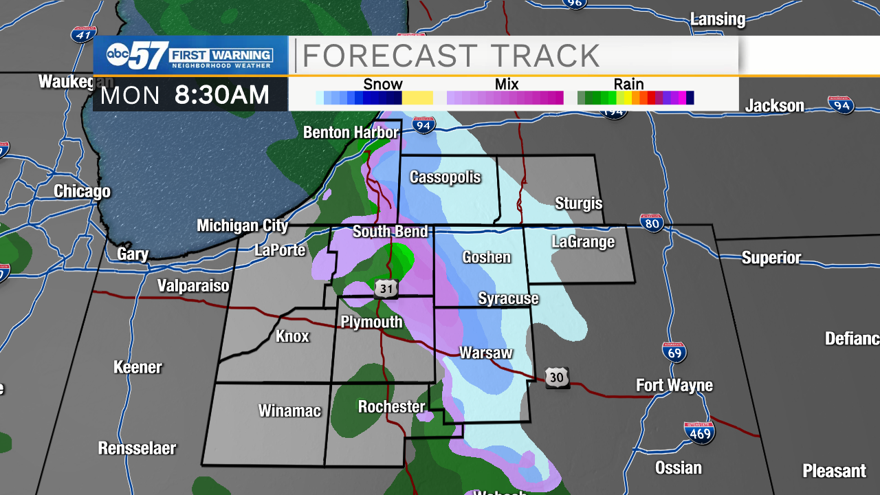
This afternoon precipitation switches to a wintry mix then rain showers.
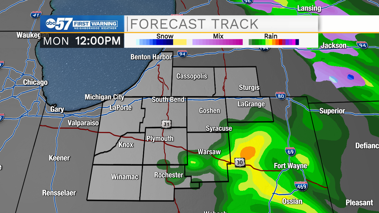
Temperatures climb to a high around 40 this afternoon. It will be breezy through the day, with a chance for a few wind gusts up to 25 mph. Precipitation tapers off late this evening.
Tuesday looks dry and mild. Wednesday is the warmest day this week, with a high in the mid to upper 40s.
There is a chance for rain starting Wednesday afternoon. This leads into a wet Christmas Eve, but with cooler temperatures, it will likely be snow. Snow continues on Friday (Christmas). Overnight temperatures around the holiday will dip into the teens. Combine this with wind and snow- it will feel very cool if you're headed outside during the overnight or early morning hours Friday or Saturday.
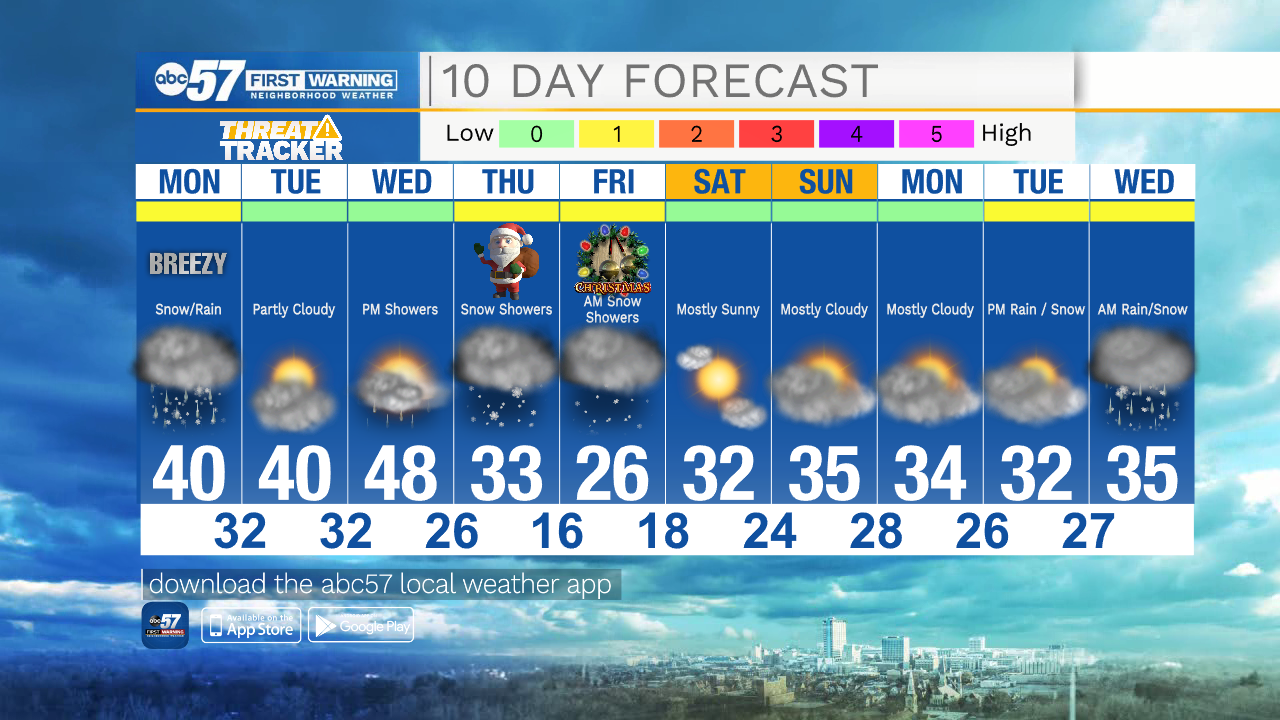
Today: Snow then rain showers. Mostly cloudy. Breezy. High 40.
Tonight: Showers early. Mostly cloudy. Low 32.
Tuesday: Partly cloudy. High 40.
Wednesday: Mostly cloudy. PM rain. High 48.