


Wintry mix changes to wet snow Tuesday evening as temperatures fall below 30 into Wednesday morning snowfall rates will increase. The greatest impact on travel will last through the morning drive Wednesday. Final totals for most will be in the 3” to 6” range but localized higher amounts are more likely to the north and east.
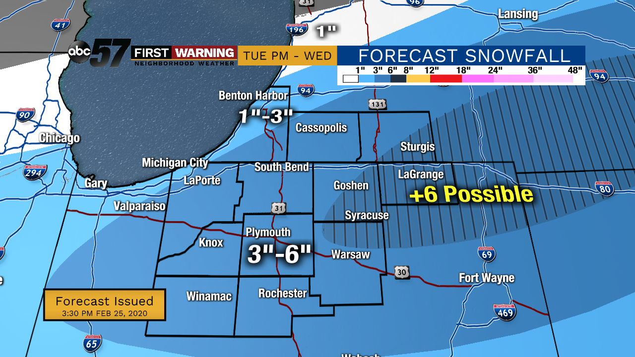
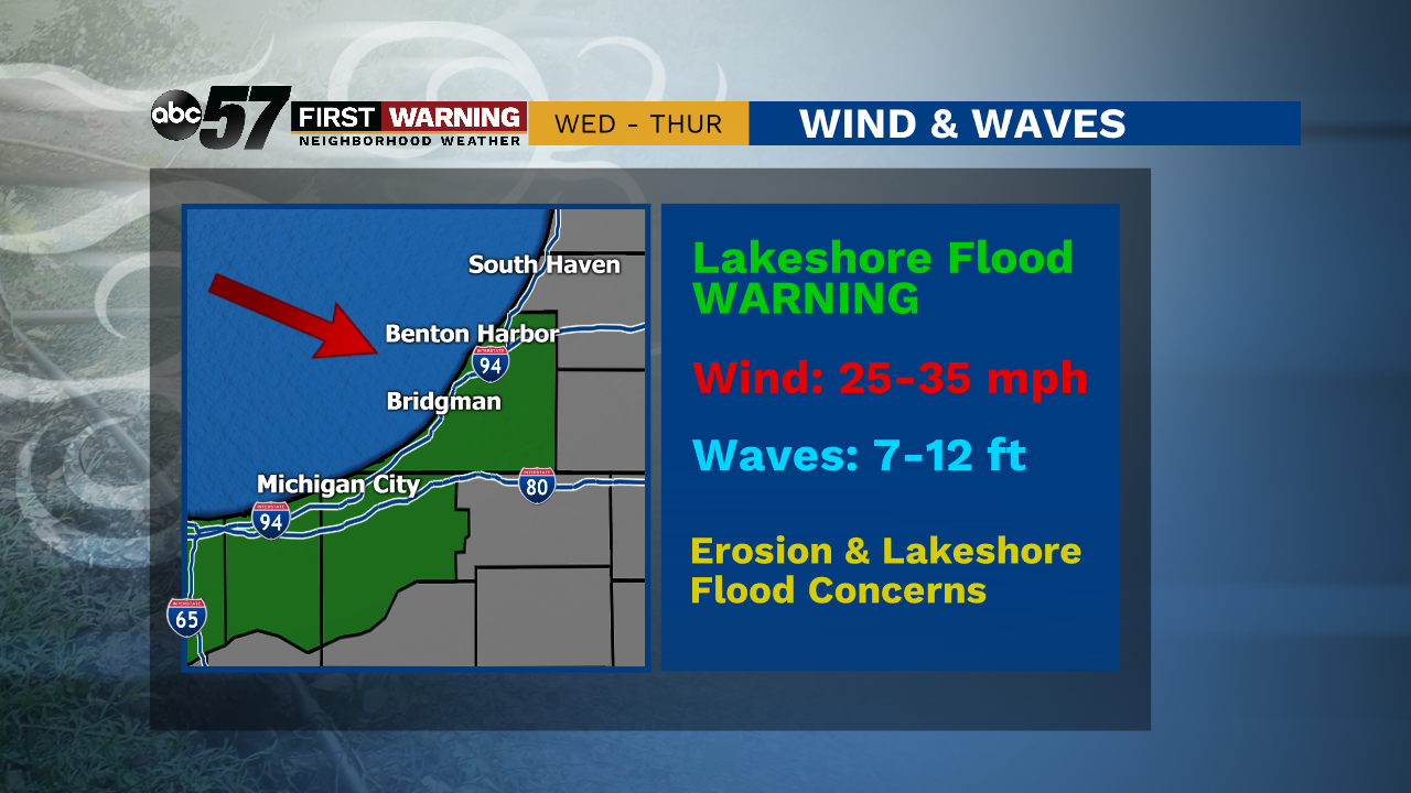
A snowy start to Wednesday with the worst travel conditions lasting through mid-morning. System snow will taper off through the afternoon. Final totals could near six inches by the end of the day. Temperatures hover around 30 and then fall Wednesday night into Thursday. This will trigger lake effect snow showers, the northwest draw will likely bring an additional one to three inches in the lake effect zone. Blustery conditions Thursday will also bring concern again for lake shore flooding.
Tonight: Snowy. Low 28.
Wednesday: Snow most the day. High 31.
Thursday: Lake effect snow, cold and breezy High 24.
Friday: Mostly cloudy. High of 24.