Spring is on the way!


As the month of February comes to an end, we can finally start to look ahead to warmer temperatures and the spring season! But, that means more severe weather situations and we've already seen instances of that farther down south over the last couple of days. Even here in Michiana, we've seen thunderstorms in late January, in the heart of the winter season. So, you might be wondering...how can we get thunderstorms in the cold seasons? Well, cold season T-storms aren't any different than summertime T-storms, but it does take more energy to generate them.
Last weekend, we had high pressure just off the southeastern coast of the U.S. that helped usher warm, moist air all the way into the Ohio River Valley. With the warm air in place at the surface and bitterly cold temperatures aloft in the upper levels of the atmosphere, instability increased. This is just one ingredient needed to create storms and severe weather. That warm air wants nothing more but to rise through the air, cool, and condense into thunderstorms, which is exactly what happened. Tornadoes were even reported with the storms over the last weekend.
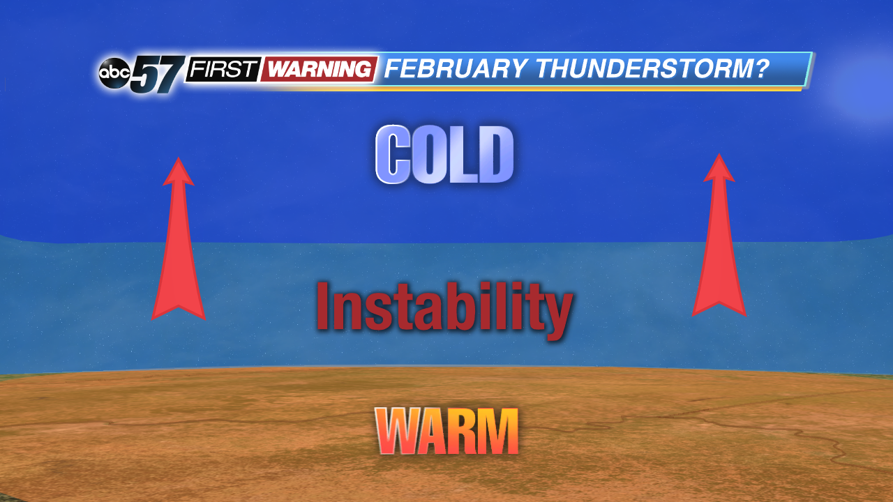 As the surface warms, instability increases. That warm air will rise, cool, condense, and form thunderstorm clouds. Other ingredients are needed to get widespread severe weather.
Since the storms will become more and more common, the local National Weather Service office here in Michiana is offering severe weather spotter training classes throughout the month of March. If you like learning about severe weather and wanting to know how to correctly report it, feel free to go to these classes. You can find much more information on times, dates, and locations right here: http://www.weather.gov/iwx/Spotter_Event_List.