Storms this afternoon - strong wind and heavy rain possible
By: Emily Kennedy
Posted: Jul 15, 2021 3:30 AM EDT

-
2:34

From Niles to South Bend: Jays 2 Keeps the Spirit Alive for basketball...
-
0:46

44th annual Tri Kappa Antique Show boosts charities and scholarships
-
1:48

Scattered showers this evening, Much cooler overnight
-
1:50

Showers and storms this afternoon
-
0:20

One person injured in shooting
-
0:36

Eddies Circuit Robotics holds competition Saturday
-
0:32

21st annual Nappanee Model Train Show
-
0:38

Local boys basketball team headed to IHSAA state finals
-
3:49

Midwest Meowfest brings kitten advocacy to attendees, new homes...
-
1:52

Mild tonight, showers tomorrow
-
1:43

Pleasant to start the weekend
-
3:06

Pulaski County weighs stricter solar rules amid resident concerns

ABC57 First Warning Neighborhood Weather Forecast
Thursday, July 15th, 2021
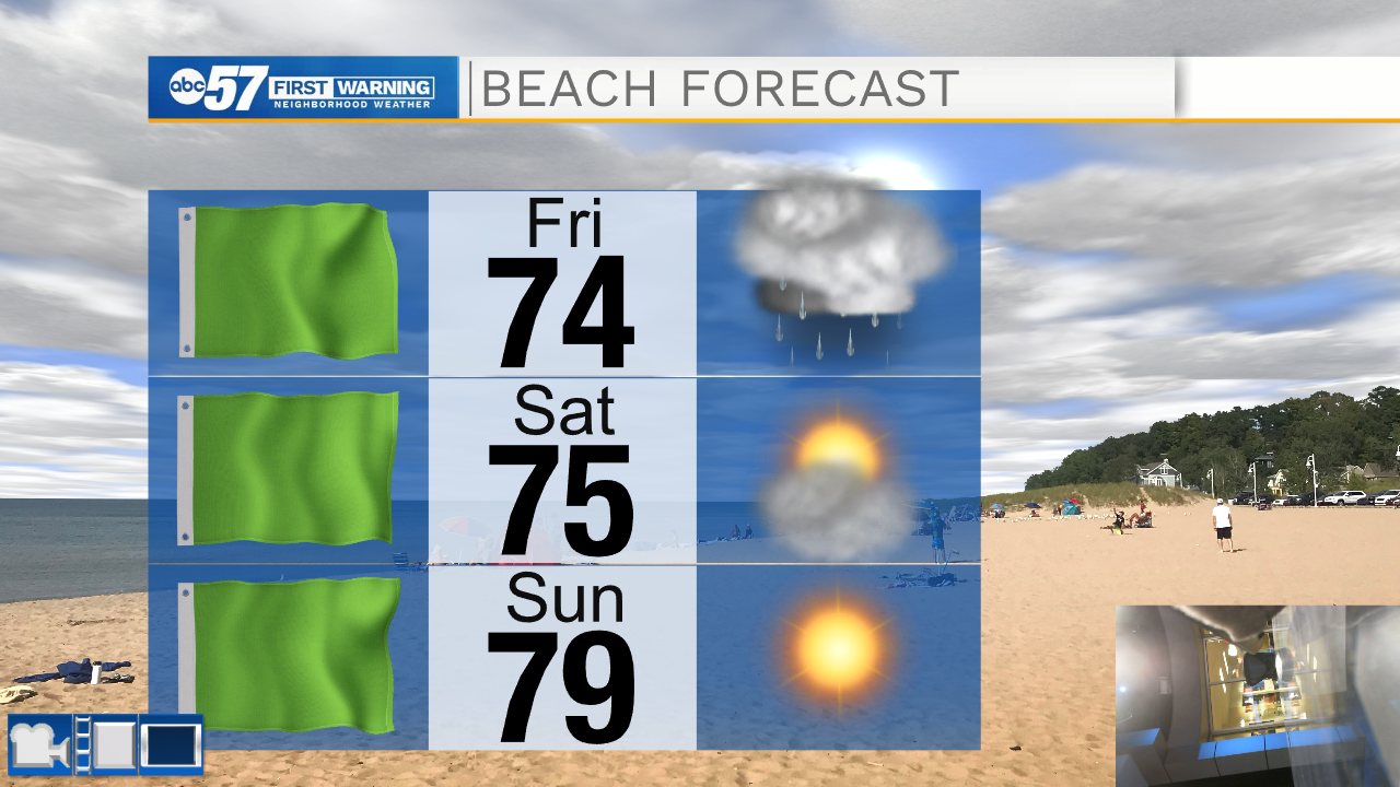
Today starts out with partly cloudy skies but clouds will increase through the afternoon. There is a chance for a couple of showers to clip Berrien co early. Most of the storms move in this afternoon and could be strong with gusty wind and heavy rain. The scattered storms continue on and off through Friday. Both days, heavy rain will be the biggest threat as it could lead to localized flooding once again. Despite a lingering shower Saturday morning, it's nice and dry over the weekend and through much of next week!
Today: PM Thunderstorms. High 83.
Tonight: Scattered thunderstorms. Low 66.
Friday: Rainy. High 74.
Saturday: Partly sunny. High 78.
Sign up for the ABC 57 Newsletter