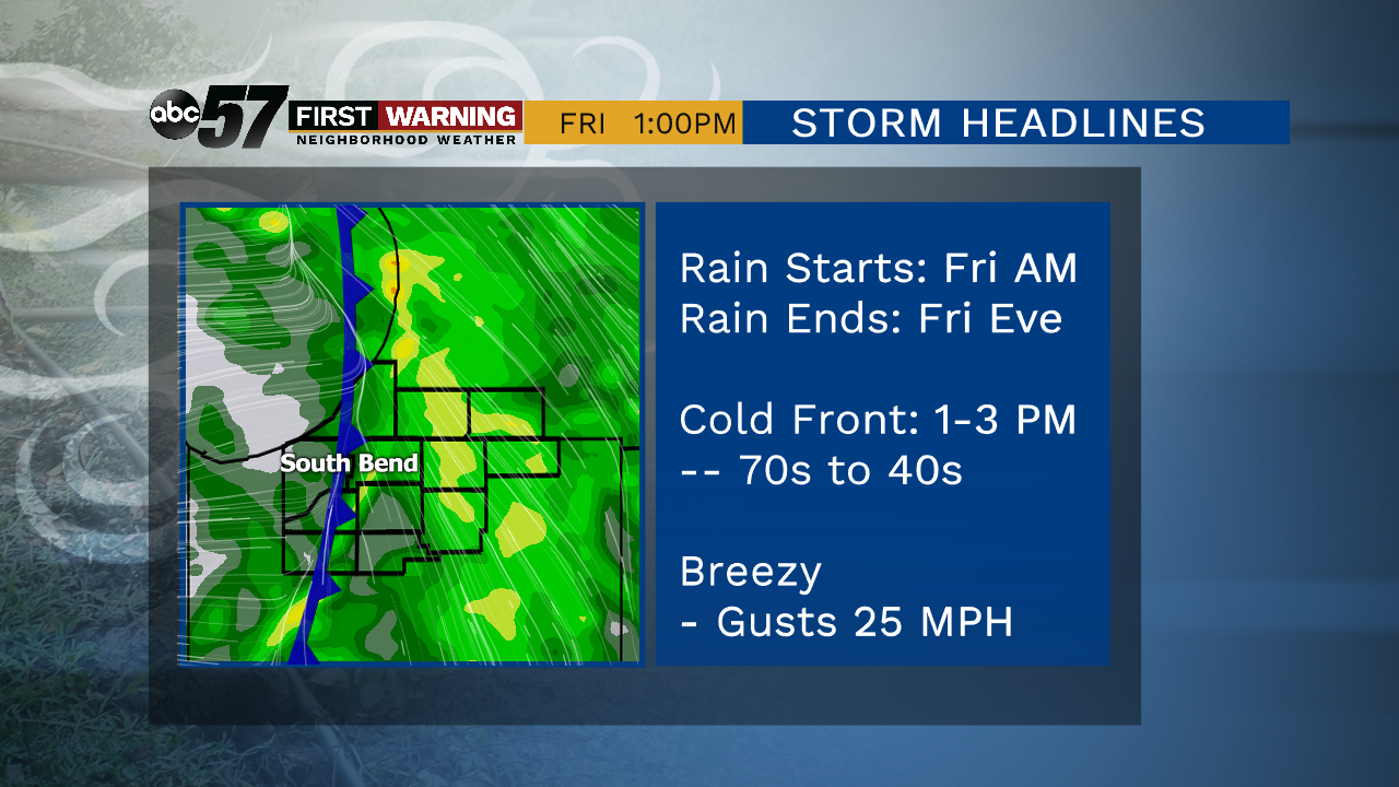
Strong Fall storm brings rain, wind and much cooler air


Rain lasts on and off through today with a couple of thunderstorms possible. Winds will pick up as well, gusting around 30-35 mph. The cold front itself moves through during the afternoon so you’ll already notice temperatures dropping this evening. We go from temperatures near 70 to lows in the middle 30s tonight! It’ll feel even colder than that with wind chill values in the middle 20s. With the cold low, our first chance of patchy frost will be tonight.
Saturday is bright but still cool and breezy. Daytime highs top out near 50 but it’ll feel like it’s in the 40s. Sunday is a little nicer with calmer winds and a high of 56. Temperatures remain cool through next week with the next chance of rain on Wednesday.
Today: Rainy and breezy. High of 69.
Tonight: Rain ending and clouds clearing, breezy. Low of 36.
Saturday: Fair and breezy. High of 50.
Sunday: More sun than clouds. High of 56.
Monday: Mostly sunny. High 56.