


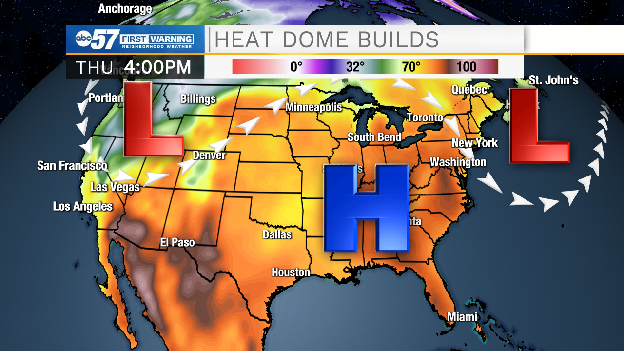
After a very cold first half of May across Michiana, summer weather will be in full force for the rest of this week and this weekend.
My windows are still open, for one more night. I'll be turning it on Thursday. https://t.co/81y0RPEq1H | #inwx #miwx pic.twitter.com/QI4fahGNfC
— Tom Coomes (@TomCoomes) May 19, 2021
As a upper level low digs into the northwest, the jet stream will lift to Michiana's north, allowing for highs in the middle to upper 80s to move in.
It's not out of the question, depending on the amount of sunshine we see, that some spots touch 90 degrees on Saturday.
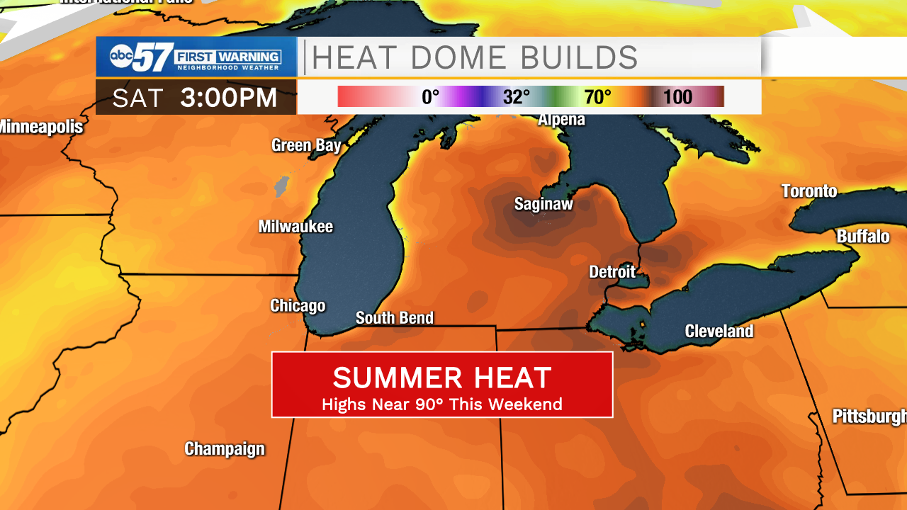
The heat bubble will also keep rain chances away until the start of next week. With little humidity, the very warm and dry air will exacerbate the drought across Michiana.
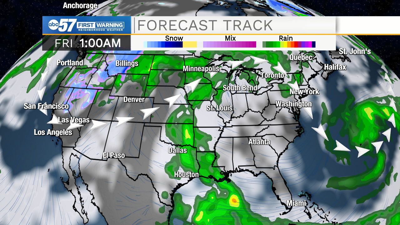
Luckily, since this is an early-season setup, the heat dome looks to break down a bit to start the workweek. Showers and thunderstorms are possible starting on Monday.