
-
0:39

Michiana Home Show continues to bring vendors to South Bend
-
0:58

Cookies and Canvas for the Heart raises awareness for children’s...
-
2:07

Most residents have power restored following high winds
-
0:44

26th annual St. Patrick’s Day Parade takes over Downtown South...
-
2:42

Active weather arrives Sunday
-
3:22

Calm today, storms return Sunday
-
2:58

Thousands of people across Michiana experienced power outages...
-
1:13

Earl Wigfall holds Detective Trivia Night for Sheriff campaign
-
1:50

Preparations underway for South Bend’s annual St. Patrick’s...
-
0:24

CAVA set to open in Mishawaka
-
1:16

Groundbreaking project underway for housing development
-
0:52

Jefferson Boulevard renamed to kickoff St. Patrick’s Day festivities

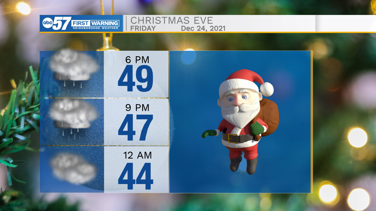
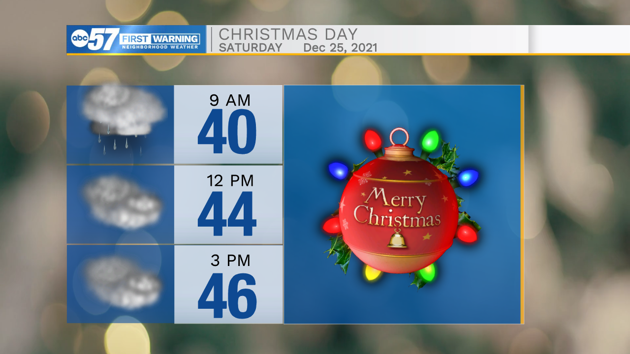
Temperatures warm to end the week. Christmas will be warm, not white and a little wet. The latest model trends are backing off on significant rainfall Christmas Eve/Day, light rain and drizzle. The better chance of soaking rain is Sunday night into Monday morning. Temperatures remain too warm for snow through the end of December. New Year's Day might be the start of lasting colder weather.
Tonight: Partly to mostly cloudy. Low 24.
Tomorrow: Mostly cloudy and milder. High 42.
Friday (Christmas Eve): Cloudy and very mild. PM rain showers. High 52.
Saturday (Christmas Day): Cloudy and very mild. A few rain showers. High 48.
Sunday: Mostly cloudy, rain overnight. High 46.
Sign up for the ABC 57 Newsletter