There is a very small window for storms Thursday night, while some conditions are favorable others, especially timing work against storm development and the severe threat. Be aware there could be showers / storms and one of those storms could be strong / severe between 8:00 PM and 1:00 AM
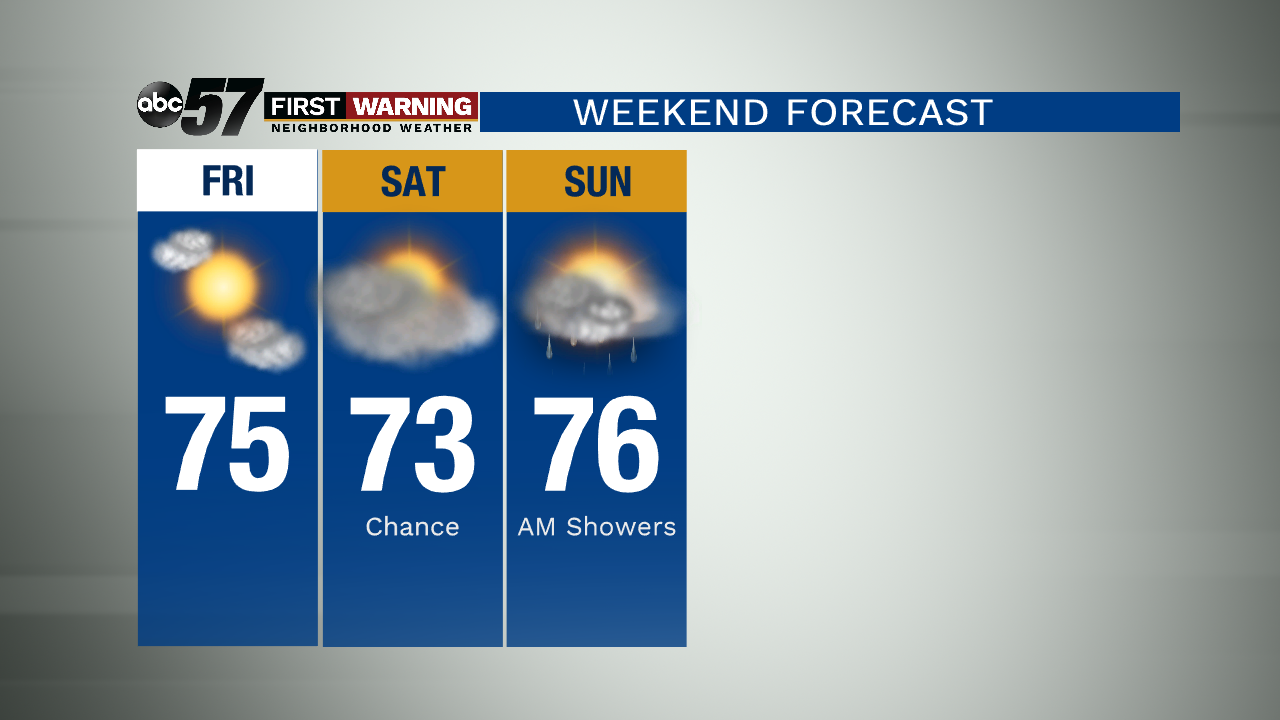
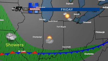
The cold front quickly clears and so do skies on Friday, the start of the weekend is fair but that same front will stall to our south keeping a chance of rain in the forecast this weekend. The stalled front across southern Indiana will produce clouds and possibly a few showers that work north, the best chance early Sunday. Skies are still expected to clear into Labor Day, Monday.
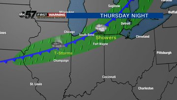
Tonight: A chance of late evening storms low of 62.
Friday: Mostly sunny, high of 75.
Saturday: Mostly cloudy, chance of showers, high of 73.
Sunday: Mostly cloudy, chance of showers, high of 76.