
-
1:08

Elkhart residents fight unauthorized mobile home
-
2:40

Fairfield breaks ground on $7 million athletics and band facilities...
-
0:50

One person dead after crashing into pole on S.R. 933
-
0:42

Dan Schaetzle approved for 2026 re-election
-
1:02

YWCA receives donation to support women’s economic advancement
-
1:02

Local high schoolers learn about construction during Building...
-
3:38

Michigan synagogue attack hits home for ABC57’s Leo Goldman
-
1:29

What’s leading to higher gas prices right now
-
2:06

EF-2 tornado leaves half mile path of damage
-
2:49

St. Joseph County property assessments will see four percent...
-
2:04

South Bend locals take matters into their own hands as they wait...
-
2:16

The fierce March weather continues, wind, storms, snow ahead

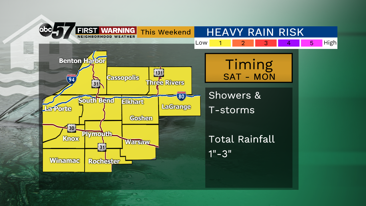
Areas of fog start the day Friday but the officially start to summer at 11:54 a.m. EDT will be sunny. This will be the one fair day before more showers and storms this weekend. Sunday and Monday have the highest probability of rain. The severe threat is low but heavy rain and flooding will remain a concern through the weekend. We could see an additional one to three inches through Monday.
Tonight: Clearing skies, fog possible, low of 52.
Friday: Mostly sunny, high of 76.
Saturday: Isolated showers/storms, mostly cloudy, high of 78.
Sunday: Scattered showers/storm, mostly cloudy, high of 82.
Sign up for the ABC 57 Newsletter