Few storms, hot and humid this weekend

-
2:16

More sunshine today with a severe risk tomorrow
-
0:32

Granger residents share input on proposed S.R. 23 roundabout
-
2:59

Seven local boards unanimously approve fire territory merger...
-
2:05

JobSpark helps inspire career exploration for middle school students
-
2:01

MPHPL launches new bookmobile to extend library access
-
2:17

Will Pauling shines, Jadarian Price shows versatility at Notre...
-
2:55

Notre Dame’s Pro Day gives 16 seniors one more shot to impress...
-
2:57

South Bend residents voice concerns over proposed pedestrian...
-
3:03

Prices at the pump continue to rise across Michiana
-
1:35

Warming up before storms arrive Thursday
-
2:06

Staying sunny until Thursday
-
0:58

Goshen City Council amends DORA rules amid community concerns

ABC57 First Warning Neighborhood Weather Forecast
Friday, July 23rd, 2021
Scattered showers and thunderstorms possible today, mainly before midday. A stray shower or storm could linger into the evening hours. It dries out overnight but the heat and humidity increase as we head into the weekend.
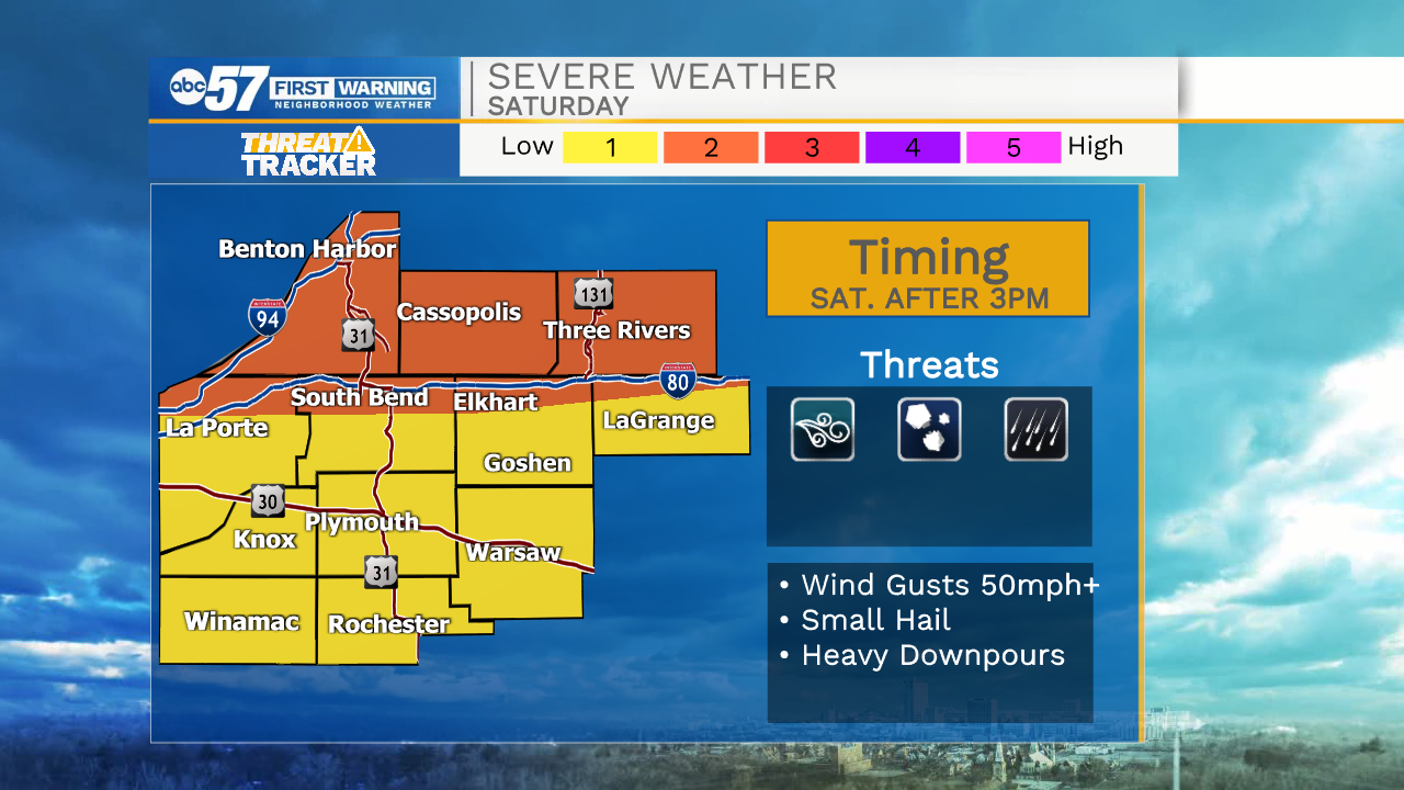
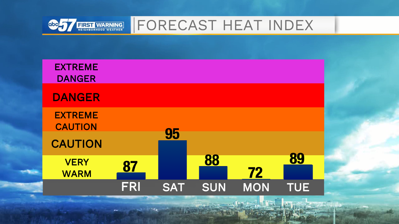
Another round of storms is likely Saturday after 3pm. This round could be strong to severe with the greatest threat being straight-line wind and heavy rain. It brightens back up Sunday with sunshine continuing for the start of the new work week. The heat and humidity stick around as well.
Today: Scattered thunderstorms, mainly before midday. High 84.
Tonight: Partly cloudy. Low 72.
Saturday: PM thunderstorms. High 88.
Sunday: Party cloudy. High 88.