


Today starts mostly quiet. You may notice a little patchy fog for your drive, otherwise skies are partly cloudy and temperatures out the door are in the low 60s.
For the afternoon, expect higher humidity than the last few days. There is a chance for a stray shower or two, but most of Michiana stays dry today.
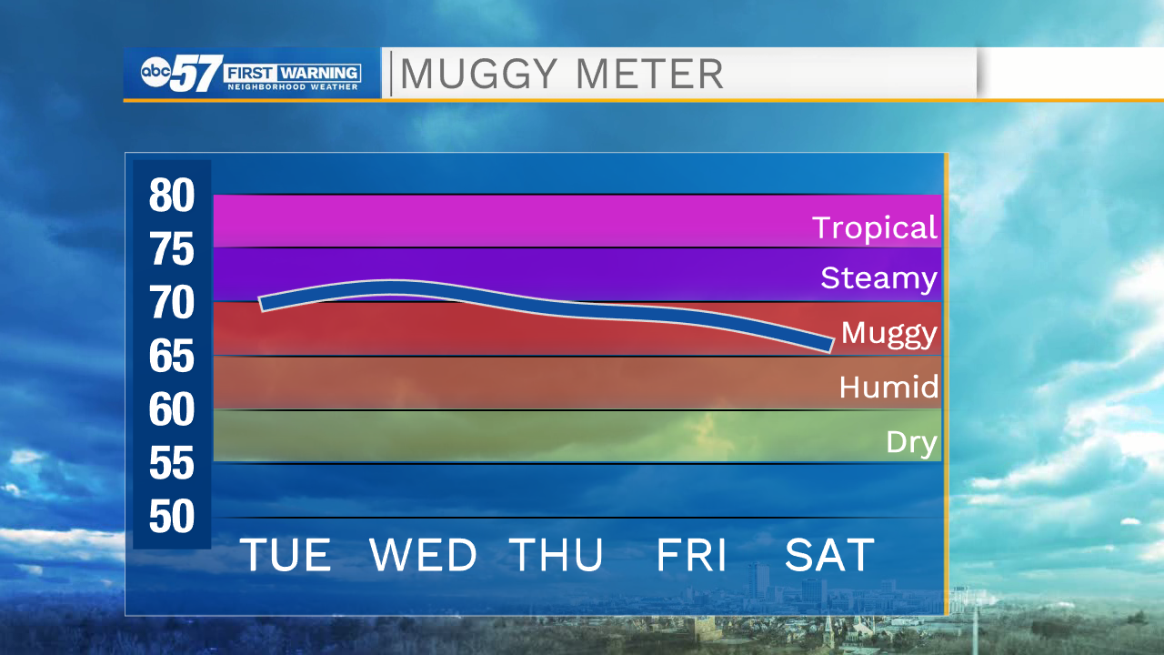
Tonight, temperatures fall into the mid 60s, and fog could be possible once again by Wednesday morning.
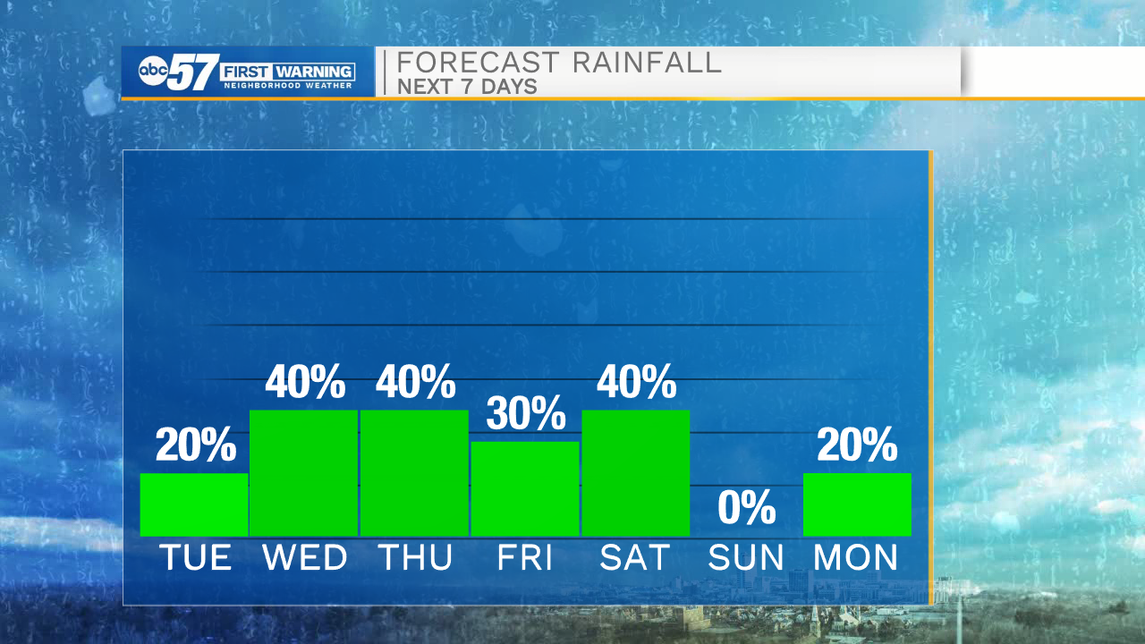
We’ll keep the warming temperatures and higher humidity through the rest of the week. Along with this, there are higher shower and storm chances Wednesday through Saturday.
Temperatures are lower, and closer to normal, by this weekend.
Today: Partly cloudy. Stray shower/storm possible. High 82.
Tonight: Mostly cloudy. Fog possible by morning. Low 66.
Wednesday: Partly cloudy. Showers and storms by afternoon. High 84.
Thursday: Scattered showers late in the morning. Storms possible by afternoon. High 85.