
-
0:49

Celebrating St. Patrick’s Day at Corby’s Irish Pub
-
1:58

The Free Market promotes sustainable shopping
-
3:27

Federal judge temporarily blocks RFK Jr.’s vaccine policy changes...
-
1:02

Chicory Cafe celebrates St. Patrick’s Day with corned beef...
-
2:43

City of Elkhart, EPA, IDEM prepare for removal of contaminated...
-
2:58

South Bend goes green for St. Paddy’s Day at Fiddler’s Hearth
-
2:32

St. Joseph County boards, City of Mishawaka, approve Memorandum...
-
2:40

More than just fighting fires: Warsaw fire official helps with...
-
1:38

Snow Wednesday, rain Thursday, mild Friday
-
2:11

Snow wrapping up today, returns tomorrow
-
4:39

The Morris debuts its 2026-27 season lineup
-
2:25

Lake effect snow through this morning

Lake effect snow showers continue overnight through Thursday morning. An additional one to three inches are possible.
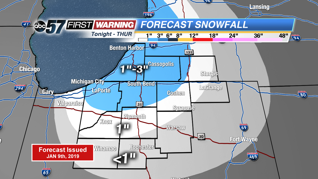
Lake effect snow showers will slow the morning drive again Thursday before waning during the day. Temperatures rise gradually in to the mid-20s, with a break from the snow that lasts through Friday. A storm system looks to bring widespread snow to the Midwest, with an increasing potential for at least three inches area wide Saturday. Stay tuned for updates as finer details come into focus.
Tonight: Lake effect snow, breezy. Low of 20.
Thursday: Morning snow showers, mostly to partly cloudy. High of 28.
Friday: Partly to mostly cloudy. High of 32.
Saturday: Snow showers, high of 32.
Sign up for the ABC 57 Newsletter