Light snow Wednesday morning, looming bitter cold next week
By:
Tom Coomes
Posted: Feb 26, 2019 5:23 PM EDT

-
3:03

Looking to younger generations to keep Dyngus Day thriving
-
3:06

Even as rivers recede, Marshall County still dealing with flooding
-
3:29

Michigan fans gather in Indianapolis ahead of National Championship...
-
3:22

Hamlet local and tow truck driver describes US 30 crash site...
-
4:28

Dyngus Day celebrations highlight voter turnout, transparency
-
4:54

Now-disbanded St. Joseph County Metro Homicide Unit investigator...
-
0:52

Shots fired on Sunnymede Avenue Saturday, cars and homes struck
-
1:18

Clouds returning and drizzle possible in the afternoon
-
0:57

The cold front passed us, the rain is done for now, and the chill...
-
0:31

Crash following police chase shuts down intersection in downtown...
-
1:07

Easter Bunny stops at Tako Loco and Tokyo for Easter fun
-
0:49

Annual Easter Egg Hunt brings families together in Elkhart

A few light snow / wintry mix showers are possible Wednesday morning, otherwise the rest of this week is pretty quiet. The weekend and early next week remains the focus for wind, snow and bitter cold. A storm system Saturday will bring wind and snow, gusts topping 30 mph. Temperatures plummet into early next week, highs in the teens and lows near zero. One interesting trend however, a procrastinating shift in the models, placing the coldest temps a day later with each model run. Cold is still likely but still some variability in the forecast.
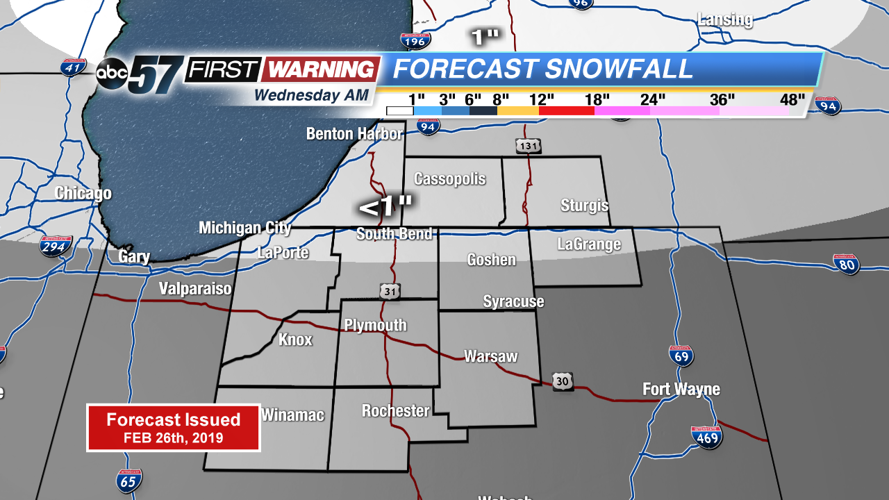
Tonight: Mostly cloudy, light snow possible, low of 20.
Wednesday: Light snow and wintry mix possible, high of 35.
Thursday: Mostly to partly cloudy, high of 32.
Friday: Mostly sunny, high of 38.
Sign up for the ABC 57 Newsletter